Alert
Alerts
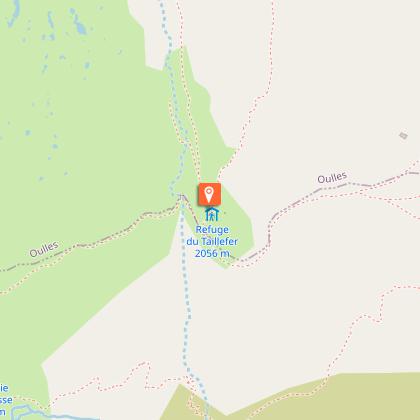
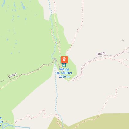
Refuge du Taillefer (coming from la Grenonière - Ornon)
1 alert on this circuit
Alerte visiteurs
Le site est sujet à de fortes affluences en juillet et en août.
Nous vous invitons à découvrir notre suggestion à proximité pour profiter pleinement de notre territoire.
Itinéraire potentiellement soumis à de forts dégâts dus à des évènements météorologiques majeurs et dont la viabilité peut être incertaine, renseignez-vous avant de vous engager sur ce parcours.


Description
This lovely walk to get you to the refuge takes you through fields with marmottes and sheep in the summer. The trail takes you progressively up the valley, giving you a wonderful panorama of the Oisans mountain range.
TECHNICAL INFORMATION :
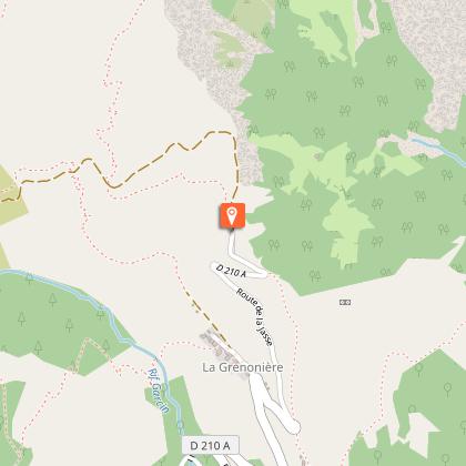
Start : La Grenonière car park after Ornon.
Uphill climb : 770m
Time : 2h15 (one way)
Distance : 4 kilometres
Difficulty : Easy
Trail exposure : south east
MAP AND TOPOGRAPHY
Map IGN : TOP 25 n°3336 ET LES DEUX ALPES and TOP 25 n°3335 OT GRENOBLE
Map n°1 "Oisans au Bout des Pieds" : trail 629
ITINERARY :
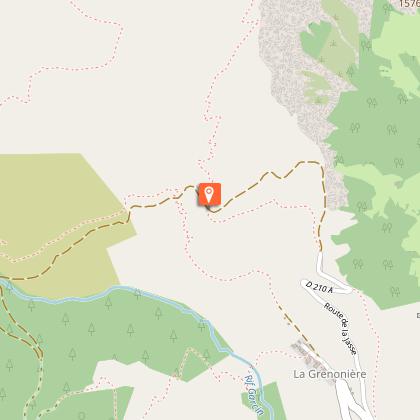
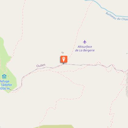
After going through Ornon villagepark your car at the end of the road in the Grenonière car park. After about 1.5 km on the trail, take the path on the right in the direction of the refuge. The next part is quite steep until 'La Buffe'. The path then gets easier and you go past the Oulles alpine chalet, and finally cut across to the refuge.
Technical Information
Altimetric profile
Starting point
Steps
Date and time
- From 01/06/2026 to 30/09/2031
- From 01/06/2027 to 30/09/2032
Additional information
Updated by
Oisans Tourisme - 11/03/2026
www.bike-oisans.com
Report a problem
Environments
Mountain location
Open period
From 01/06 to 30/09 daily.
Depending on snow conditions.
Subject to favorable snow and weather conditions.
Contact
Phone : 04 76 80 71 60
Email : info-allemond@oisans.com
Website : https://www.oisans.com/
Topo guides and map references
Topo guides references :
Map n°1 "Oisans au Bout des Pieds" : trail 629
Location complements
Park at the Grenonière car park at the end of the road that goes through Ornon village.
Animals
Yes
Data author
