Tours
Activities
Places of interest
Where to eat
Where to sleep
Discover Saint-merd-les-oussines' natural attractions
Are you in charge of the destination?Nestled in the Corrèze department, at the heart of the Limousin region, Saint-merd-les-oussines is a charming town offering a wealth of natural and cultural discoveries. Take a stroll through the picturesque trails of the Parc naturel régional de Millevaches en Limousin, where the wild nature invites unforgettable hikes. The proximity to the region's numerous waterways allows you to experience fis...See more
Walking around Saint-merd-les-oussines
See more suggestionsExplore the hiking trails around Saint-merd-les-oussines.
See more suggestions


")


What to do in Saint-merd-les-oussines
See more suggestionsExplore the bookable activity options in Saint-merd-les-oussines for all tastes and ages.
See more suggestions


IGN cards
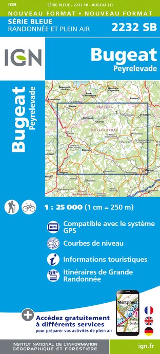
2232SB - BUGEAT PEYRELEVADE
Editor : IGN
Collection : TOP 25 ET SÉRIE BLEUE
Scale : 1:25 000
13.90€

147 LIMOGES GUÉRET PNR DE MILLEVACHES EN LIMOUSIN
Editor : IGN
Collection : TOP 100
Scale : 1:100 000
8.40€

D23-87 CREUSE HAUTE-VIENNE
Editor : IGN
Collection : CARTES DÉPARTEMENTALES IGN
Scale : 1:150 000
5.90€

D15-19 CANTAL CORREZE
Editor : IGN
Collection : CARTES DÉPARTEMENTALES IGN
Scale : 1:150 000
5.90€

EUROPE
Editor : IGN
Collection : DÉCOUVERTE DES PAYS DU MONDE IGN
Scale : 1:2 500 000
7.00€
What to visit in Saint-merd-les-oussines
See more suggestionsTake a boat tour around Saint-merd-les-oussines.
See more suggestions


Where to eat in Saint-merd-les-oussines
See more suggestionsRestaurants in Saint-merd-les-oussines offer a variety of cuisines.
See more suggestions


Where to sleep in Saint-merd-les-oussines
See more suggestionsExplore hostels and hotels in Saint-merd-les-oussines.
See more suggestions


