Alert
Alerts
From the Diège to the Vienne


Description
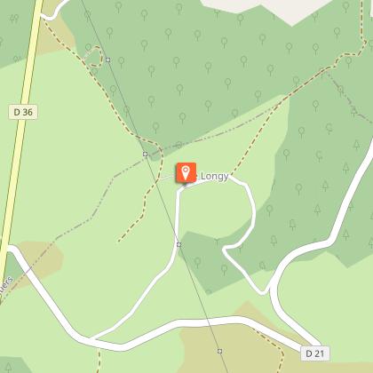
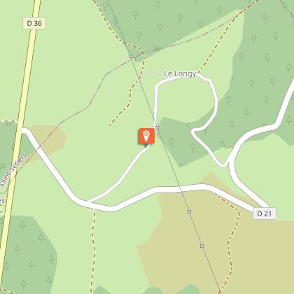
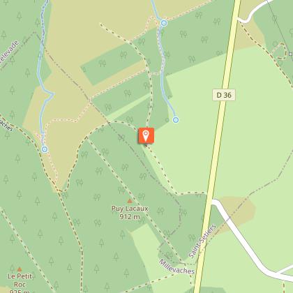
This circuit takes us along the watershed between the Garonne and Loire rivers!Departure from the village square. Go up the street to the right of the church. At the crossroads, take the road to the right for 100 metres to the D 36. Cross the road and go straight ahead.At the crossroads, go down a wide track on the right. At the next crossroads, turn left onto a track that goes towards a high-voltage line.Turn left when you reach the trail. It goes through woods and across moors offering several points of view on the tributary valleys of the Diège and the village of Sornac to join a tarmac path, then the road (take care - follow the signposting carefully on this long portion - there are not very many landmarks).When you reach the main road, do not go towards Malepouge but turn left. Follow the road for 500 metres. A track goes down through the undergrowth to an old quarry. Follow this track to the right, cross the stream and go up to the small road.Take the road to the left and then go left again at the next crossroads. This road goes to Audouze.At the entrance to the hamlet, a path goes to the left, down to the stream, and then back up to Longy.Go through the hamlet, and continue on the road. At the crossroads, take the road to the right. At the next crossroads, follow the road to the right for 20 metres and then take the path on the left. It goes around a meadow (the wetland in the pasture is one of the sources of the Vienne) through moors and forests.Where the tracks cross, go up the forest path on the left (on the right is the second source of the Vienne at 200 m: it will become a small road going back to Millevaches, going over the stile and into the pasture.
Technical Information
Altimetric profile
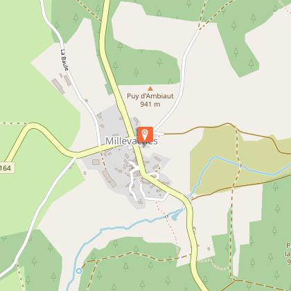
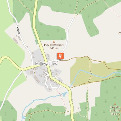
Starting point
Steps
Points of interest


Additional information
Advised parking
Place de l’église, Millevaches
Is in the midst of the park
The national park is an unrestricted natural area but subjected to regulations which must be known by all visitors.
Access
14 km from Meymac, follow the D 36.
Ambiance
The first part of the circuit offers magnificent views of the small tributaries of the Diège that flow through the heather moors. On the other hand, the slope of the Vienne appears much more wooded. Numerous springs rise on this slope and quickly join to form the Vienne. A rich and satisfying circuit!
Arrival
Place de l’église, Millevaches
Departure
Place de l’église, Millevaches
Data author
