Tours
Activities
Places of interest
Where to eat
Where to sleep
Discover Saint-eloy-la-glaciere's charms in Puy-de-Dôme
Are you in charge of the destination?Welcome to Saint-eloy-la-glaciere, nestled in the heart of the Puy-de-Dôme, Auvergne. This charming town, surrounded by lush landscapes, offers a multitude of activities for nature enthusiasts. Embark on hikes through the region's trails and marvel at the breathtaking panoramas. History buffs will enjoy exploring the town’s rich historical and cultural heritage, with its ancient churches and monum...See more
Walking around Saint-eloy-la-glaciere
See more suggestionsEnjoy pleasant walks in Saint-eloy-la-glaciere.
See more suggestions


What to do in Saint-eloy-la-glaciere
See more suggestionsEnjoy unforgettable moments in Saint-eloy-la-glaciere by booking activities for everyone.
See more suggestions


IGN cards
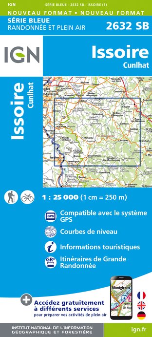
2632SB - ISSOIRE CUNLHAT
Editor : IGN
Collection : TOP 25 ET SÉRIE BLEUE
Scale : 1:25 000
13.90€
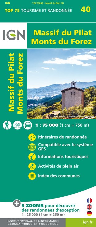
TOP75040 - MASSIF DU PILAT MONTS DU FOREZ
Editor : IGN
Collection : TOP 75
Scale : 1:75 000
9.80€

D03-63 ALLIER PUY-DE-DÔME
Editor : IGN
Collection : CARTES DÉPARTEMENTALES IGN
Scale : 1:150 000
5.90€

D42-43 LOIRE HAUTE-LOIRE
Editor : IGN
Collection : CARTES DÉPARTEMENTALES IGN
Scale : 1:150 000
5.90€

EUROPE
Editor : IGN
Collection : DÉCOUVERTE DES PAYS DU MONDE IGN
Scale : 1:2 500 000
7.00€
What to visit in Saint-eloy-la-glaciere
See more suggestionsEnjoy the green spaces of Saint-eloy-la-glaciere.
See more suggestions


Where to eat in Saint-eloy-la-glaciere
See more suggestionsRestaurants in Saint-eloy-la-glaciere will captivate you.
See more suggestions


Where to sleep in Saint-eloy-la-glaciere
See more suggestionsDiscover popular accommodations in Saint-eloy-la-glaciere.
See more suggestions


