Tours
Activities
Places of interest
Where to eat
Where to sleep
Uncover the Charms of Sauxillanges, Puy-de-Dôme, Auvergne
Are you in charge of the destination?Welcome to Sauxillanges, Puy-de-Dôme, Auvergne, where each corner is brimming with charm and history! Nestled in the heart of Auvergne, this quaint town invites you to explore its picturesque streets and stunning natural landscapes. Start your adventure with a visit to the Abbey of Sauxillanges, a grand structure dating back to the 10th century, rich in architectural heritage. Nature enthusiasts c...See more
Walking around Sauxillanges
See more suggestionsWalk through the natural landscapes of Sauxillanges.
See more suggestions


What to do in Sauxillanges
See more suggestionsFind the best activities in Sauxillanges and book easily online.
See more suggestions")


IGN cards
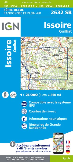
2632SB - ISSOIRE CUNLHAT
Editor : IGN
Collection : TOP 25 ET SÉRIE BLEUE
Scale : 1:25 000
13.90€
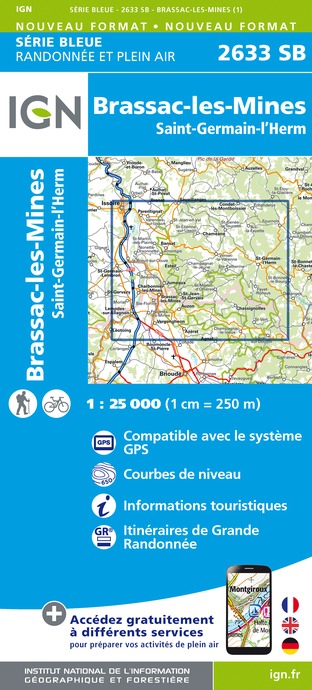
2633SB - BRASSAC-LES-MINES SAINT-GERMAIN-L'HERM
Editor : IGN
Collection : TOP 25 ET SÉRIE BLEUE
Scale : 1:25 000
13.90€

148 CLERMONT FERRAND SALERS PNR DES VOLCANS D'AUVERGNE
Editor : IGN
Collection : TOP 100
Scale : 1:100 000
8.40€

D42-43 LOIRE HAUTE-LOIRE
Editor : IGN
Collection : CARTES DÉPARTEMENTALES IGN
Scale : 1:150 000
5.90€

D15-19 CANTAL CORREZE
Editor : IGN
Collection : CARTES DÉPARTEMENTALES IGN
Scale : 1:150 000
5.90€

D03-63 ALLIER PUY-DE-DÔME
Editor : IGN
Collection : CARTES DÉPARTEMENTALES IGN
Scale : 1:150 000
5.90€

EUROPE
Editor : IGN
Collection : DÉCOUVERTE DES PAYS DU MONDE IGN
Scale : 1:2 500 000
7.00€
What to visit in Sauxillanges
See more suggestionsSavor the local cuisine of Sauxillanges.
See more suggestions


Where to eat in Sauxillanges
See more suggestionsRestaurants in Sauxillanges will captivate you.
See more suggestions


Where to sleep in Sauxillanges
See more suggestionsStay at one of the many hotels in Sauxillanges.
See more suggestions


