Tours
Activities
Places of interest
Where to eat
Where to sleep
Discover Saint-Babel, a gem in Auvergne
Are you in charge of the destination?Welcome to Saint-Babel, Puy-de-Dôme, Auvergne! This charming town offers a variety of activities and attractions to explore. Embark on discovering its rolling landscapes and pristine nature through various hiking routes, ideal for outdoor enthusiasts.
Strolling through the center of Saint-Babel, don't miss its unique Romanesque church steeple, a testament to a rich historical past. Lovers of ...See more
Strolling through the center of Saint-Babel, don't miss its unique Romanesque church steeple, a testament to a rich historical past. Lovers of ...See more
Walking around Saint-babel
See more suggestionsDiscover the nature of Saint-babel on foot.
See more suggestions


What to do in Saint-babel
See more suggestionsExplore the many bookable activities in Saint-babel and make the most of every moment.
See more suggestions")


IGN cards
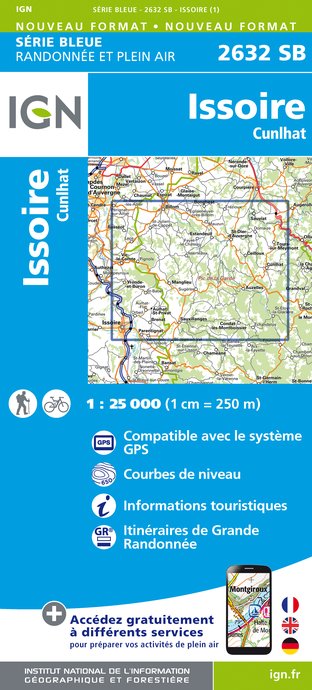
2632SB - ISSOIRE CUNLHAT
Editor : IGN
Collection : TOP 25 ET SÉRIE BLEUE
Scale : 1:25 000
13.90€

148 CLERMONT FERRAND SALERS PNR DES VOLCANS D'AUVERGNE
Editor : IGN
Collection : TOP 100
Scale : 1:100 000
8.40€

D42-43 LOIRE HAUTE-LOIRE
Editor : IGN
Collection : CARTES DÉPARTEMENTALES IGN
Scale : 1:150 000
5.90€

D03-63 ALLIER PUY-DE-DÔME
Editor : IGN
Collection : CARTES DÉPARTEMENTALES IGN
Scale : 1:150 000
5.90€

D15-19 CANTAL CORREZE
Editor : IGN
Collection : CARTES DÉPARTEMENTALES IGN
Scale : 1:150 000
5.90€

EUROPE
Editor : IGN
Collection : DÉCOUVERTE DES PAYS DU MONDE IGN
Scale : 1:2 500 000
7.00€
What to visit in Saint-babel
See more suggestionsDiscover the local markets of Saint-babel.
See more suggestions


Where to eat in Saint-babel
See more suggestionsSavor culinary specialties in Saint-babel.
See more suggestions


Where to sleep in Saint-babel
See more suggestionsFind lodging to suit your needs in Saint-babel.
See more suggestions


