Tours
Activities
Places of interest
Where to eat
Where to sleep
Discover the charms of Aubenas from CAMPING LA CHAREYRASSE
Are you the owner?Nestled in the heart of the Ardèche, in Aubenas, a world of adventures awaits visitors at CAMPING LA CHAREYRASSE. Start with the exploration of the old town of Aubenas, featuring its medieval castle with breathtaking views over the valley. For nature lovers, the region boasts numerous hiking trails, including those in the Monts d’Ardèche Regional Nature Park, offering a perfect escape to admire lo...See more
Walking around CAMPING LA CHAREYRASSE
See more suggestionsWalks and discoveries in CAMPING LA CHAREYRASSE.
See more suggestions


What to do in CAMPING LA CHAREYRASSE
See more suggestionsChoose from a variety of activities in CAMPING LA CHAREYRASSE and book your favorites.
See more suggestions


IGN cards

2938SB - AUBENAS L'ARGENTIERE - VILLENEUVE-DE-BERG
Editor : IGN
Collection : TOP 25 ET SÉRIE BLEUE
Scale : 1:25 000
13.90€
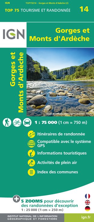
TOP75014 - GORGES ET MONTS D'ARDÈCHE
Editor : IGN
Collection : TOP 75
Scale : 1:75 000
9.80€

TOP100D07 - ARDÈCHE PRIVAS AUBENAS VALLON-PONT-D'ARC PNR DES MONTS D'ARDÈCHE
Editor : IGN
Collection : TOP 100
Scale : 1:100 000
8.40€

D07-26 ARDÈCHE DRÔME
Editor : IGN
Collection : CARTES DÉPARTEMENTALES IGN
Scale : 1:150 000
5.90€

NR16 PROVENCE-ALPES-CÔTE D'AZUR
Editor : IGN
Collection : CARTES RÉGIONALES IGN
Scale : 1:250 000
6.80€

EUROPE
Editor : IGN
Collection : DÉCOUVERTE DES PAYS DU MONDE IGN
Scale : 1:2 500 000
7.00€
What to visit in CAMPING LA CHAREYRASSE
See more suggestionsStroll through the historic districts of CAMPING LA CHAREYRASSE.
See more suggestions


Where to eat in CAMPING LA CHAREYRASSE
See more suggestionsCome and taste typical dishes of CAMPING LA CHAREYRASSE.
See more suggestions


Where to sleep in CAMPING LA CHAREYRASSE
See more suggestionsDiscover the best lodging options in CAMPING LA CHAREYRASSE.
See more suggestions


