Tours
Activities
Places of interest
Where to eat
Where to sleep
Camping Azur et Merveilles: Breil-sur-Roya, Alpes-Maritimes
Are you the owner?Discover the treasures of Breil-sur-Roya and its surroundings while staying at Camping Azur et Merveilles. Nestled in the heart of the Alpes-Maritimes, this place offers an ideal setting to explore numerous natural and cultural treasures.
Embark on adventures along hiking trails that wind through stunning landscapes, like the famous Valley of Wonders Trail, adorned with Bronze Age rock engraving...See more
Embark on adventures along hiking trails that wind through stunning landscapes, like the famous Valley of Wonders Trail, adorned with Bronze Age rock engraving...See more
Walking around CAMPING AZUR ET MERVEILLES
See more suggestionsExplore the parks and paths of CAMPING AZUR ET MERVEILLES.
See more suggestions

 from the Maglia valley to Borgemo via the Agnon Pass")


What to do in CAMPING AZUR ET MERVEILLES
See more suggestionsFind the best activities in CAMPING AZUR ET MERVEILLES and book easily online.
See more suggestions


IGN cards
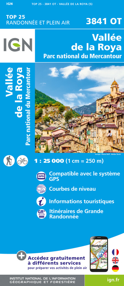
3841OT - VALLÉE DE LA ROYA PARC NATIONAL DU MERCANTOUR
Editor : IGN
Collection : TOP 25 ET SÉRIE BLEUE
Scale : 1:25 000
13.90€

3741ET - VALLÉE DE LA BÉVÉRA VALLÉE DES PAILLONS PARC NATIONAL DU MERCANTOUR
Editor : IGN
Collection : TOP 25 ET SÉRIE BLEUE
Scale : 1:25 000
13.90€

TOP75010 - MERCANTOUR
Editor : IGN
Collection : TOP 75
Scale : 1:75 000
9.80€

VEL06 - LE VAR A VELO
Editor : IGN
Collection : DECOUVERTE A VELO
Scale : 1:110 000
9.10€

TOP100D06 - ALPES-MARITIMES NICE CÔTE D'AZUR PARC NATIONAL DU MERCANTOUR PNR DES PRÉALPES D'AZUR
Editor : IGN
Collection : TOP 100
Scale : 1:100 000
8.40€

D06 ALPES-MARITIMES
Editor : IGN
Collection : CARTES DÉPARTEMENTALES IGN
Scale : 1:150 000
5.90€

NR16 PROVENCE-ALPES-CÔTE D'AZUR
Editor : IGN
Collection : CARTES RÉGIONALES IGN
Scale : 1:250 000
6.80€

EUROPE
Editor : IGN
Collection : DÉCOUVERTE DES PAYS DU MONDE IGN
Scale : 1:2 500 000
7.00€
What to visit in CAMPING AZUR ET MERVEILLES
See more suggestionsStroll through the historic districts of CAMPING AZUR ET MERVEILLES.
See more suggestions


Where to eat in CAMPING AZUR ET MERVEILLES
See more suggestionsRestaurants in CAMPING AZUR ET MERVEILLES offer a variety of cuisines.
See more suggestions


Where to sleep in CAMPING AZUR ET MERVEILLES
See more suggestionsFind the perfect lodging for your visit to CAMPING AZUR ET MERVEILLES.
See more suggestions


")
")


