Tours
Activities
Places of interest
Where to eat
Where to sleep
Experience CAMPING LES MARINES in La chapelle-en-valgaudemar
Are you the owner?Nestled in the charming landscape of the Hautes-Alpes, CAMPING LES MARINES in La chapelle-en-valgaudemar is the perfect starting point to explore the natural and cultural treasures of Provence-Alpes-Côte d'Azur. Discover the Écrins National Park, a paradise for outdoor enthusiasts boasting hiking trails, waterfalls, and breathtaking mountain views. History buffs will delight in visiting quaint alp...See more
Walking around CAMPING LES MARINES
See more suggestionsWalks and discoveries in CAMPING LES MARINES.
See more suggestions


What to do in CAMPING LES MARINES
See more suggestionsPlan a perfect day in CAMPING LES MARINES with our bookable activities.
See more suggestions


IGN cards
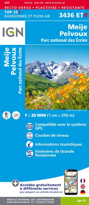
3436ETR - MEIJE PELVOUX RESISTANTE PARC NATIONAL DES ÉCRINS
Editor : IGN
Collection : TOP 25 RÉSISTANTE
Scale : 1:25 000
17.20€

3436ET - MEIJE PELVOUX PARC NATIONAL DES ÉCRINS
Editor : IGN
Collection : TOP 25 ET SÉRIE BLEUE
Scale : 1:25 000
13.90€

TOP75006 - MASSIF DES ECRINS OISANS CHAMPSAUR
Editor : IGN
Collection : TOP 75
Scale : 1:75 000
9.80€

TOP75005 - BRIANCONNAIS QUEYRAS
Editor : IGN
Collection : TOP 75
Scale : 1:75 000
9.80€

TOP100D38 - ISÈRE GRENOBLE VIENNE PARC NATIONAL DES ÉCRINS PARC NATUREL RÉGIONAL DU VERCORS
Editor : IGN
Collection : TOP 100
Scale : 1:100 000
8.40€

202 JURA ALPES DU NORD
Editor : IGN
Collection : TOP 200
Scale : 1:200 000
6.80€

89034 - TOUR DE L'OISANS ET DES ECRINS
Editor : IGN
Collection : DECOUVERTE DES CHEMINS
Scale : 1:32 000
9.10€

D38 ISÈRE
Editor : IGN
Collection : CARTES DÉPARTEMENTALES IGN
Scale : 1:150 000
5.90€

D04-05 ALPES-DE-HAUTE-PROVENCE HAUTES-ALPES
Editor : IGN
Collection : CARTES DÉPARTEMENTALES IGN
Scale : 1:150 000
5.90€

NR15 AUVERGNE-RHÔNE-ALPES RECTO/VERSO MASSIF ALPIN
Editor : IGN
Collection : CARTES RÉGIONALES IGN
Scale : 1:250 000
6.80€

NR16 PROVENCE-ALPES-CÔTE D'AZUR
Editor : IGN
Collection : CARTES RÉGIONALES IGN
Scale : 1:250 000
6.80€

NR14 AUVERGNE-RHÔNE-ALPES RECTO/VERSO MASSIF CENTRAL
Editor : IGN
Collection : CARTES RÉGIONALES IGN
Scale : 1:250 000
6.80€

EUROPE
Editor : IGN
Collection : DÉCOUVERTE DES PAYS DU MONDE IGN
Scale : 1:2 500 000
7.00€
What to visit in CAMPING LES MARINES
See more suggestionsSavor the local cuisine of CAMPING LES MARINES.
See more suggestions


Where to eat in CAMPING LES MARINES
See more suggestionsExplore the culinary traditions of CAMPING LES MARINES.
See more suggestions


Where to sleep in CAMPING LES MARINES
See more suggestionsChoose from a variety of lodgings in CAMPING LES MARINES.
See more suggestions


