Alert
Alerts
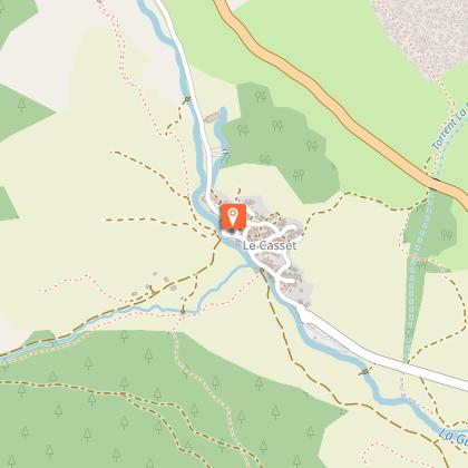
GR®54 - Tour of L'Oisans and Les Écrins starting from La Chapelle-en-Valgaudemar


Description
Here, the variants of the GR®54 are complemented by the Tour of L'Oisans and Les Écrins from La Chapelle-en-Valgaudemar, for further exploration of the iconic landscapes of Les Écrins.
Embarking on one of the most difficult GR® routes in France, a challenge for experienced hikers. On the route: 14 passes, elevation changes of almost 12,000 metres and 190 kilometres to cover in 12 days in the majestic Massif des Écrins. Leave the beaten path behind and enjoy a variety of breathtaking landscapes along variants of the GR®54, over three Stages of the circuit.
Technical Information
Altimetric profile
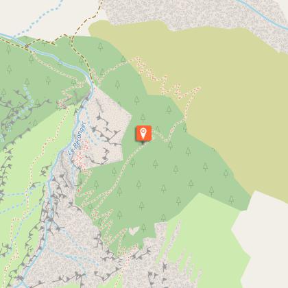
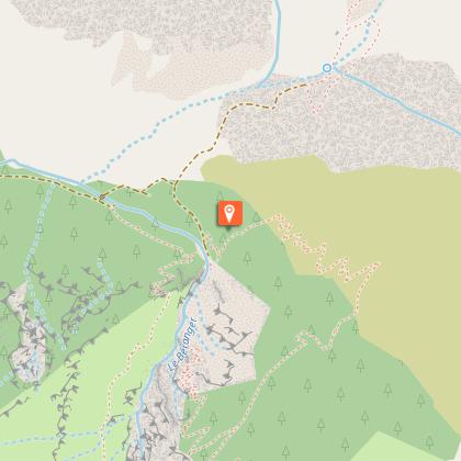
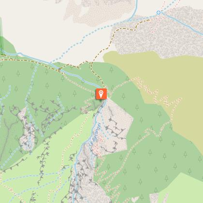
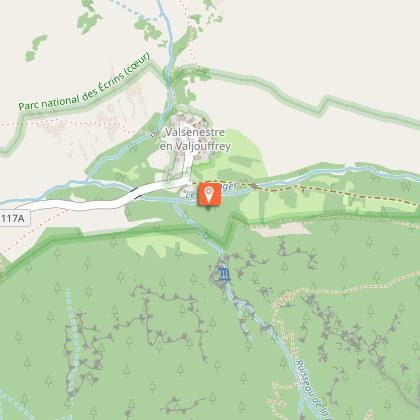
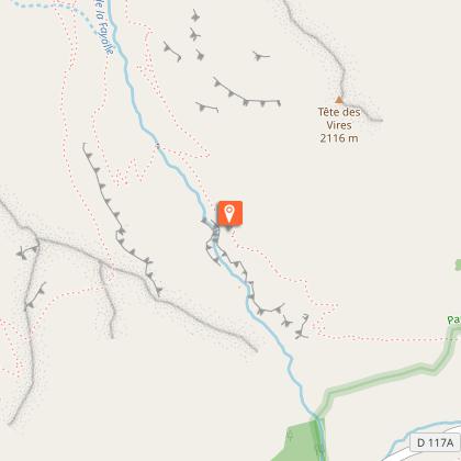
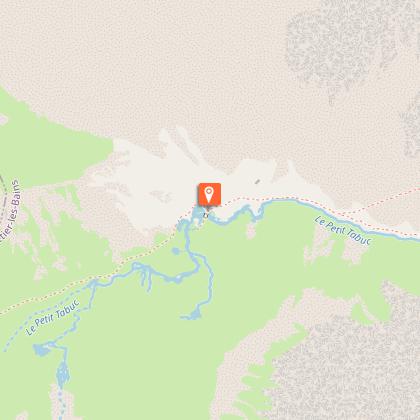
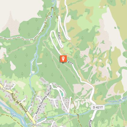
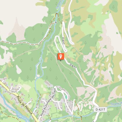
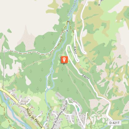
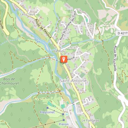
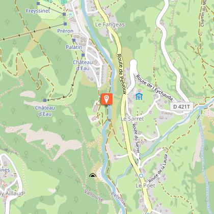
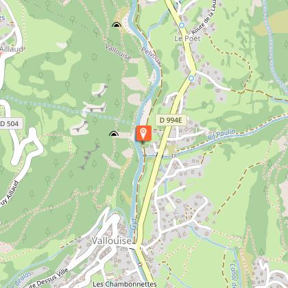
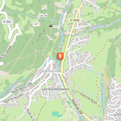
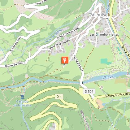
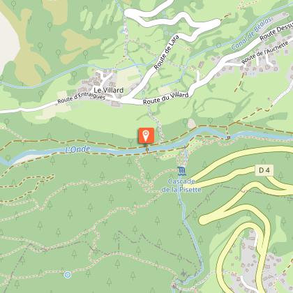
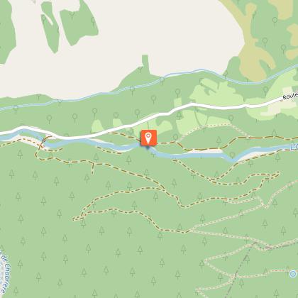
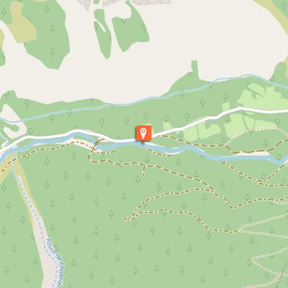
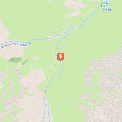
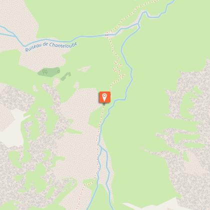
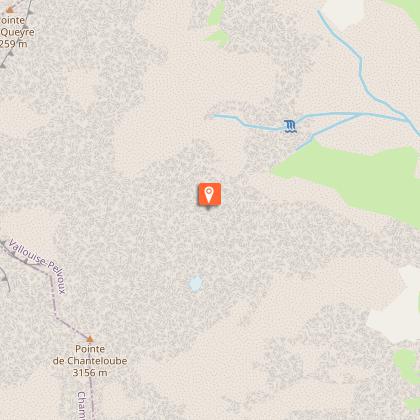
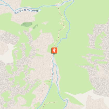
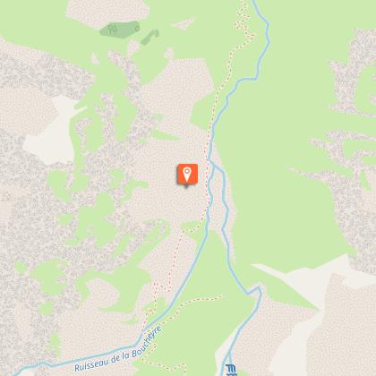
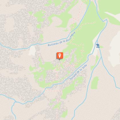
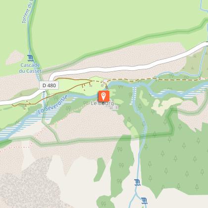
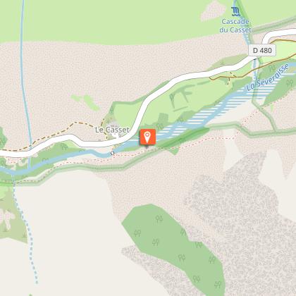
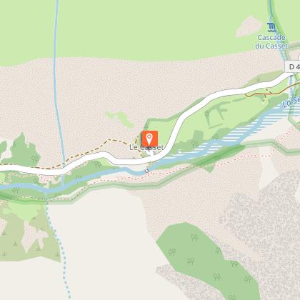
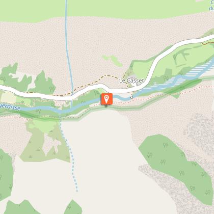
Starting point
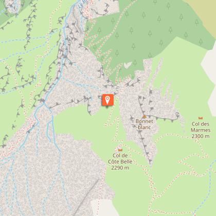
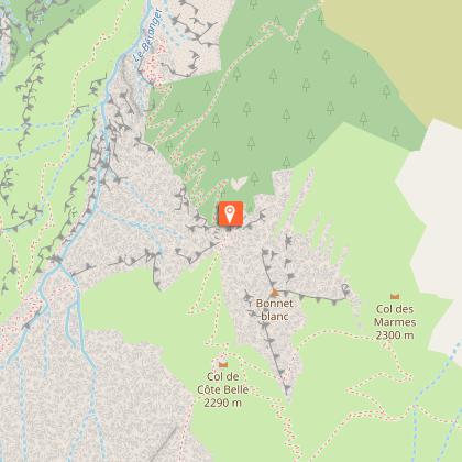
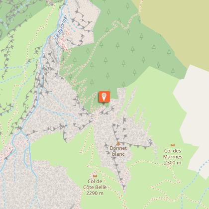
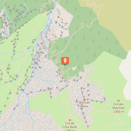
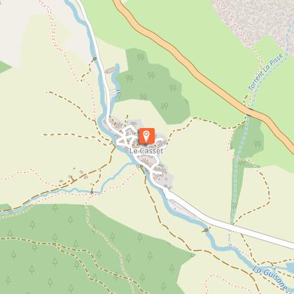
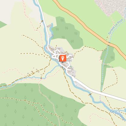
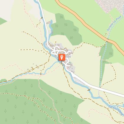
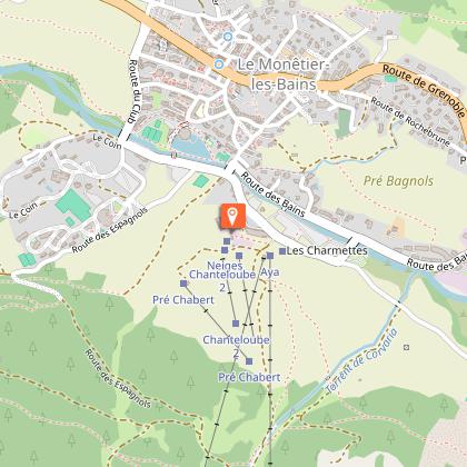
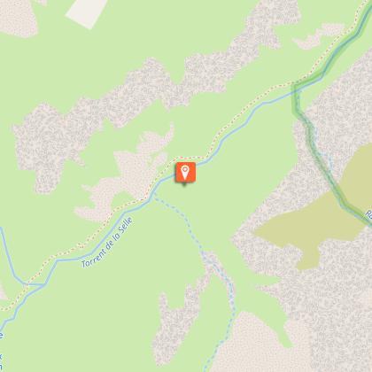
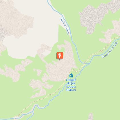
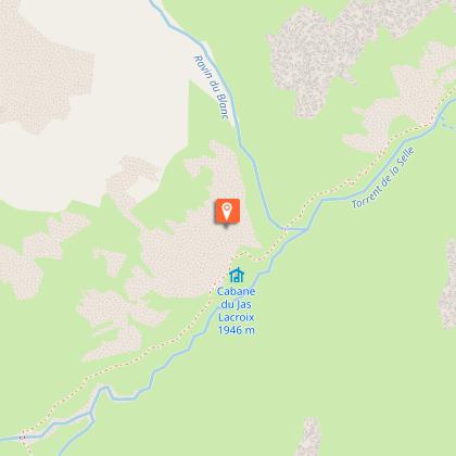
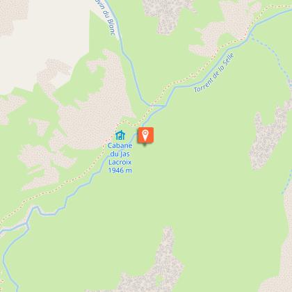
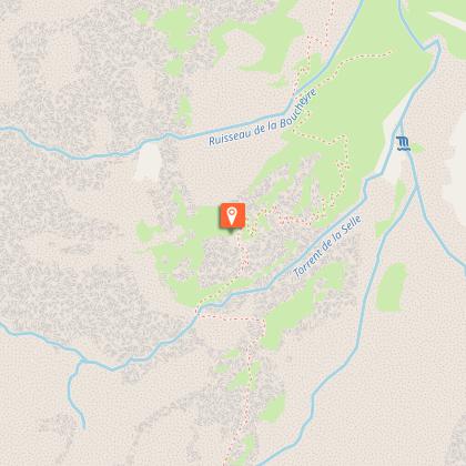
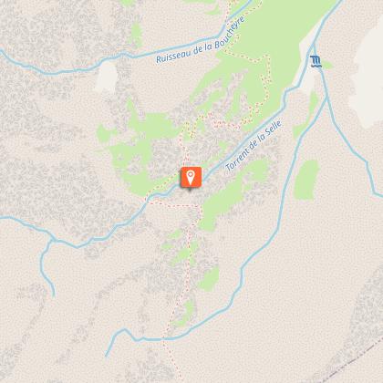
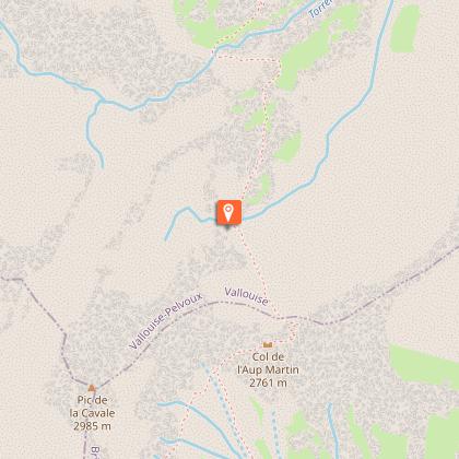
Steps


Additional information
Tips
The best period for undertaking this tour is from late June to mid-September.
Find out about weather and snow conditions on the passes in early summer.
Some stretches, in the upper reaches of the mountains, pass through tricky terrain.
It is possible to bivouac along the GR route (see the regulations for the heart of the National Park) or to overnight at campsites, hotels, gîtes or refuges.
The Stages require that you carry your own food.
Is in the midst of the park : The national park is an unrestricted natural area but subjected to regulations which must be known by all visitors.
Herd protection dogs : In mountain pastures, protection dogs are there to protect the herds from predators (wolves, etc.).When I hike I adapt my behavior by going around the herd and pausing for the dog to identify me.Find out more about the actions to adopt with the article "Protection dogs: a context and actions to adopt".Tell us about your meeting by answering this survey.
Location complements
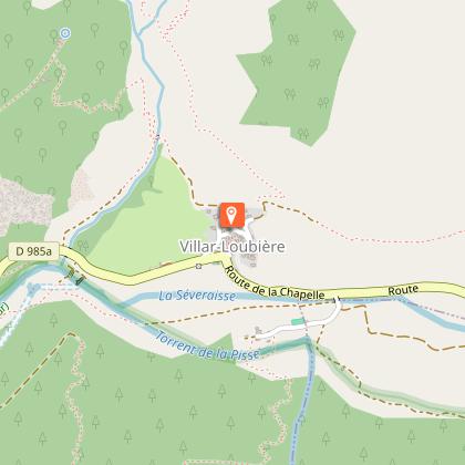
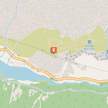
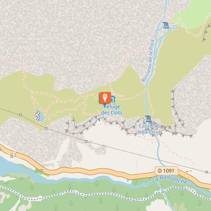
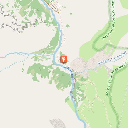
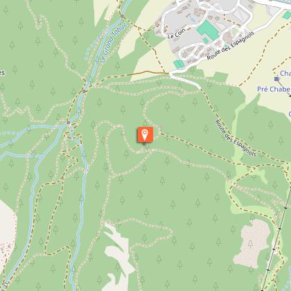
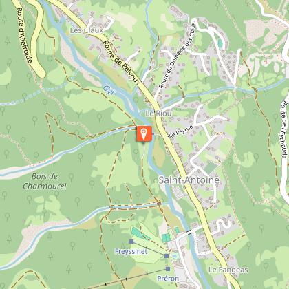
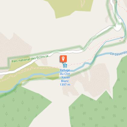
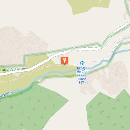
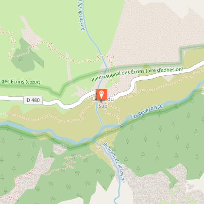
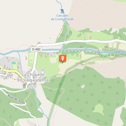
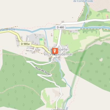
Departure : The Park Centre ("Maison du Parc") in La Chapelle-en-Valgaudemar.
Road access : On the N85, after the Les Richards bridge, turn right onto the D985a (towards Saint Firmin). La Chapelle is approximately 18 km from this crossroads..
Parking recommended : Leaving the village of La Chapelle .
Public transport : From Gap and Grenoble:
Bus line Gap-Grenoble, Saint-Firmin bus stop : www.itinisere.fr/ or carsisere.auvergnerhonealpes.fr/
From here, possibility of taking a summer shuttle to La Chapelle. The shuttle can be booked in advance via the ticket office on the Champsaur Valgaudemar tourist office website: www.champsaur-valgaudemar.com/offres/navette-du-valgaudemar-saint-firmin-fr-2301984/m/ .
.
Contact
Phone : 04 92 55 25 19
Website : http://www.ecrins-parcnational.fr/
Updated by
Parc national des Écrins - 28/04/2026
www.ecrins-parcnational.fr/
Report a problem
Guidebook with maps/step-by-step
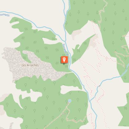
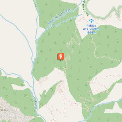
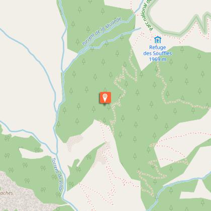
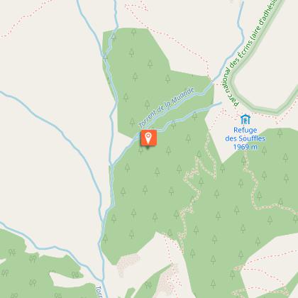
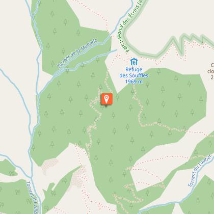
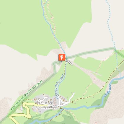
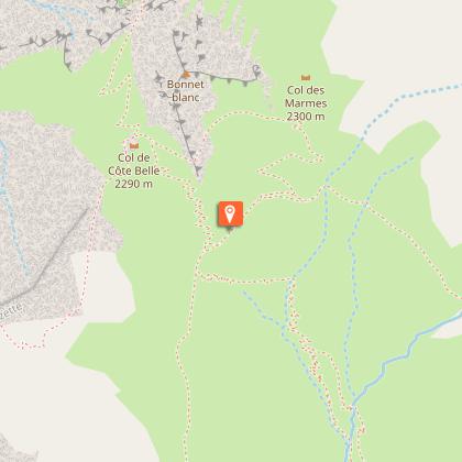
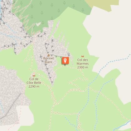
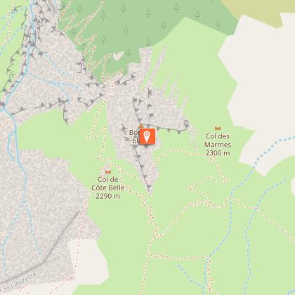
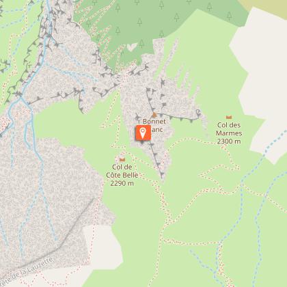
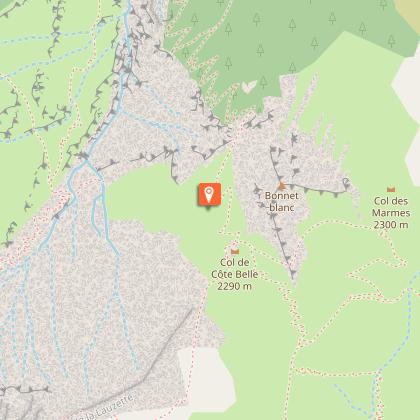
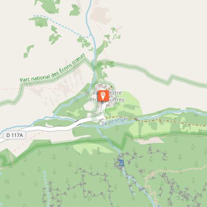
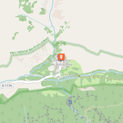
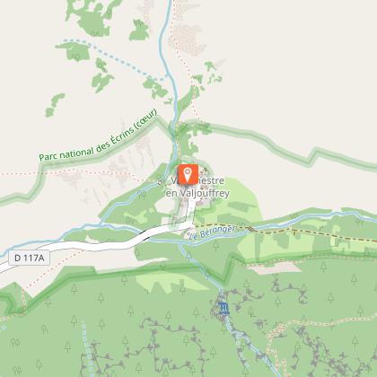
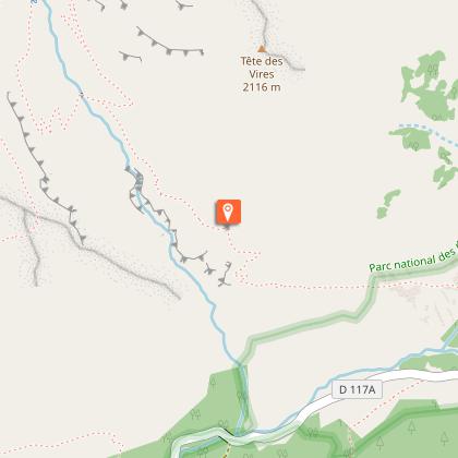
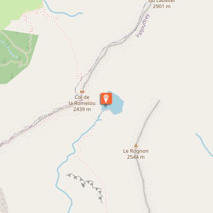
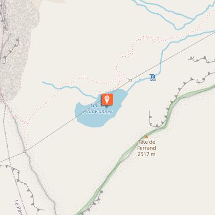
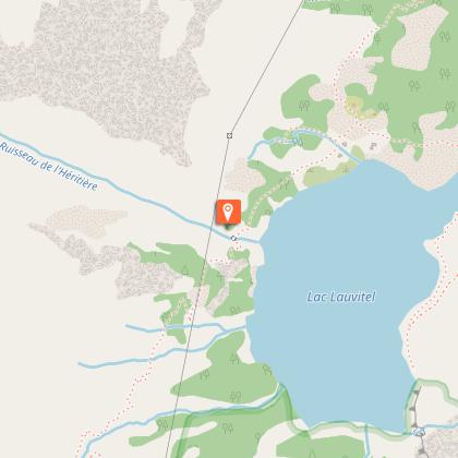
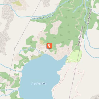
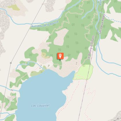
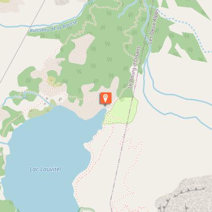
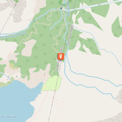
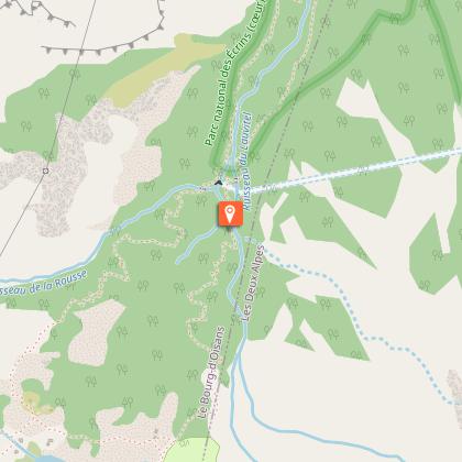
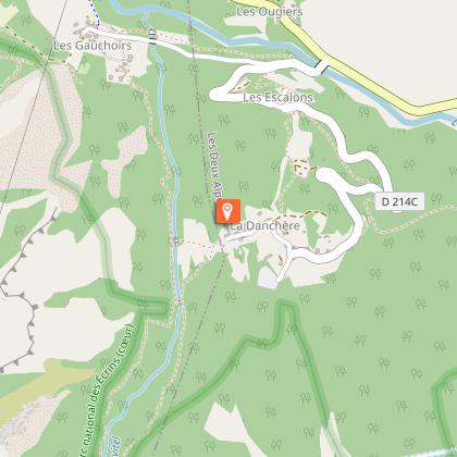
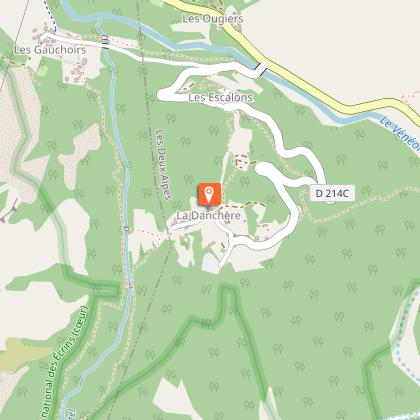
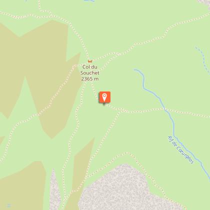
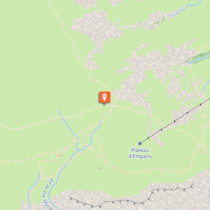
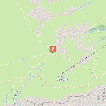
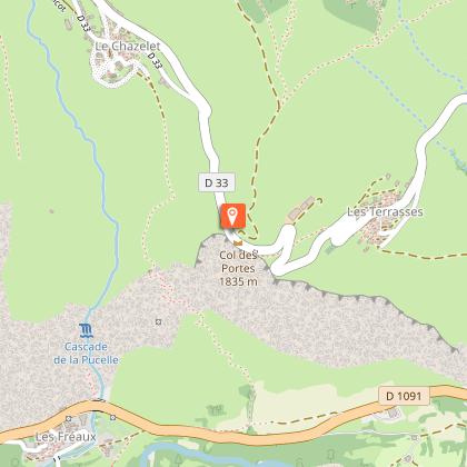
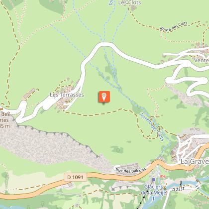
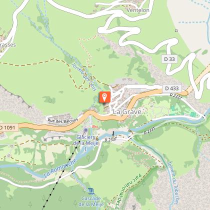
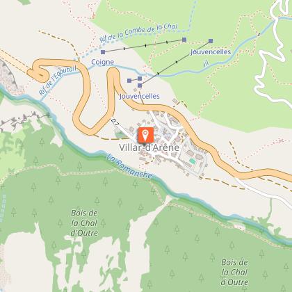
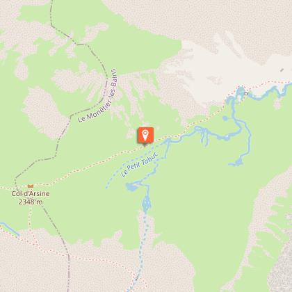
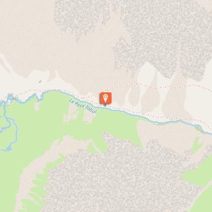
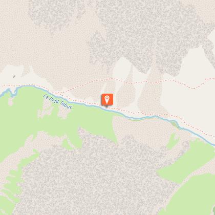
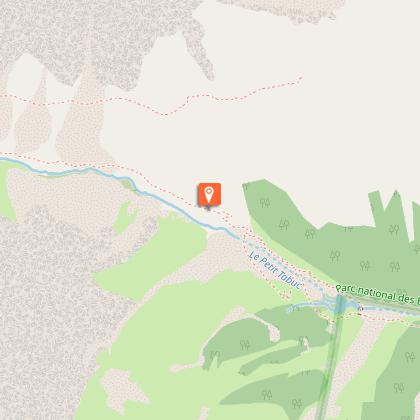
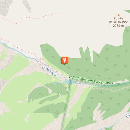
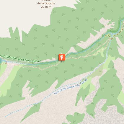
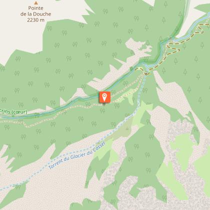
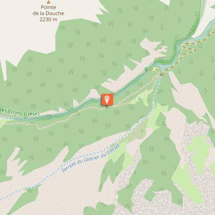
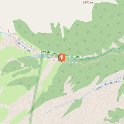
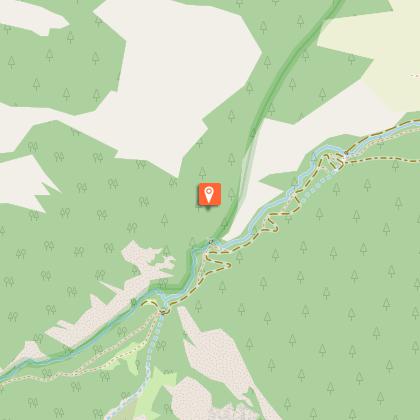
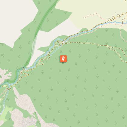
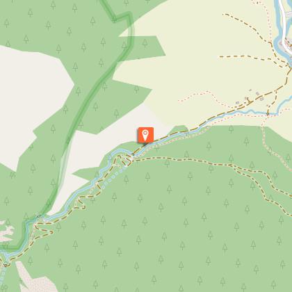
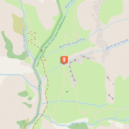
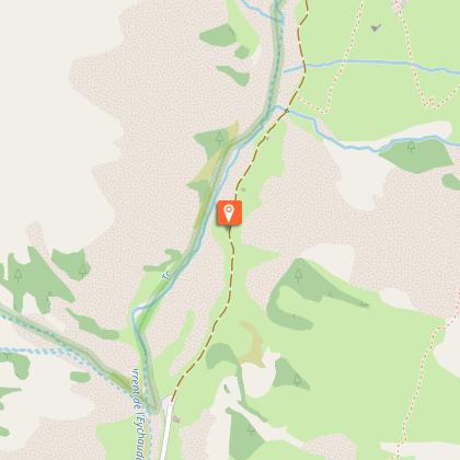
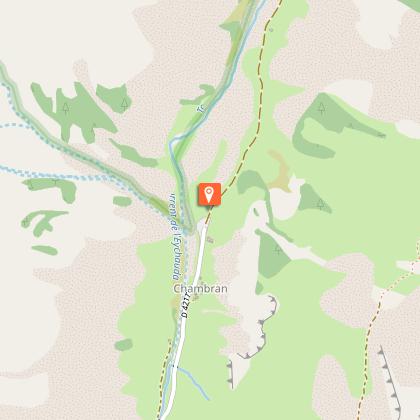
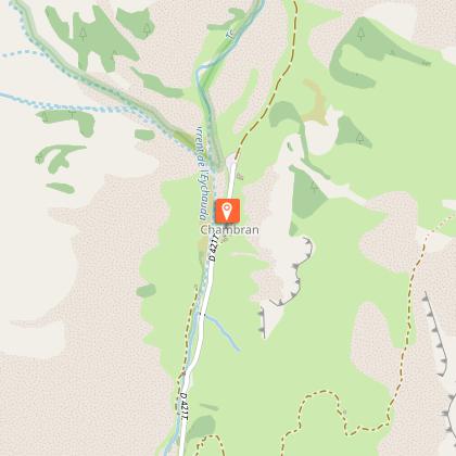
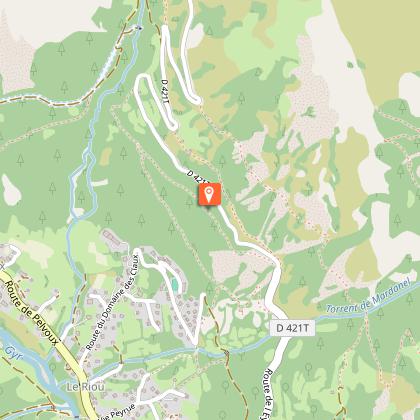
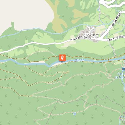
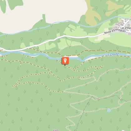
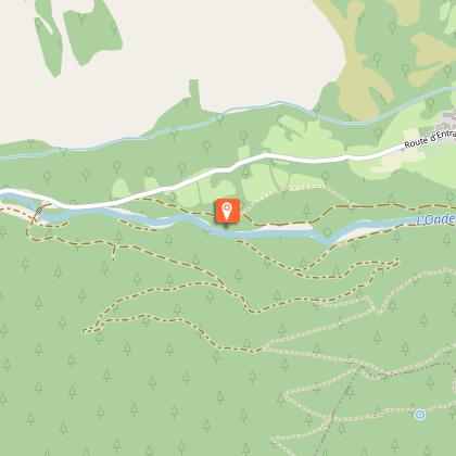
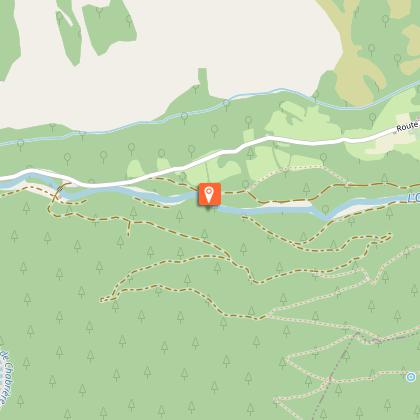
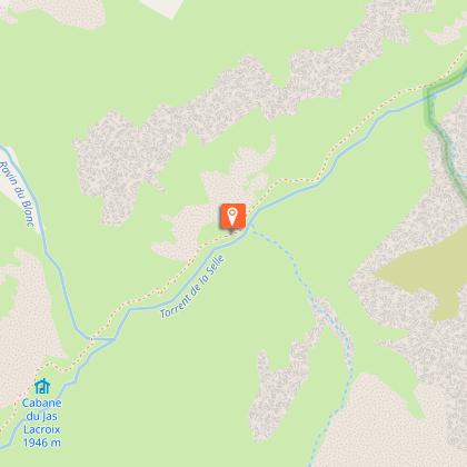
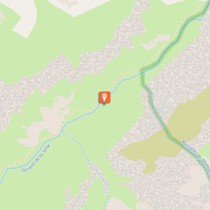
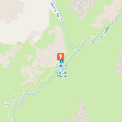
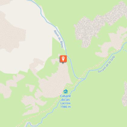
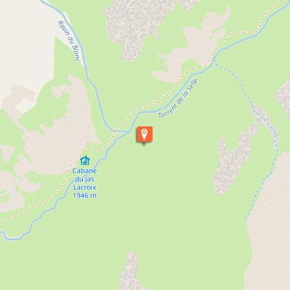
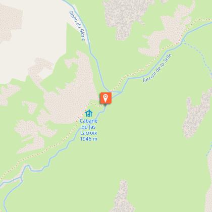
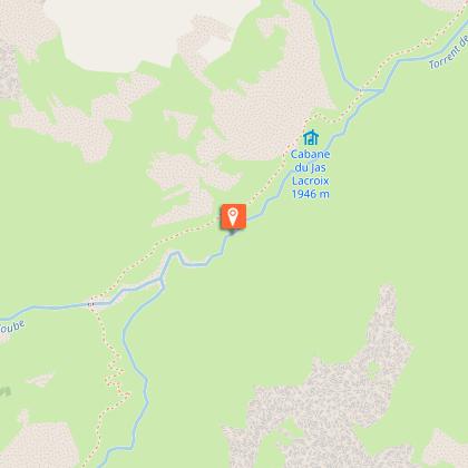
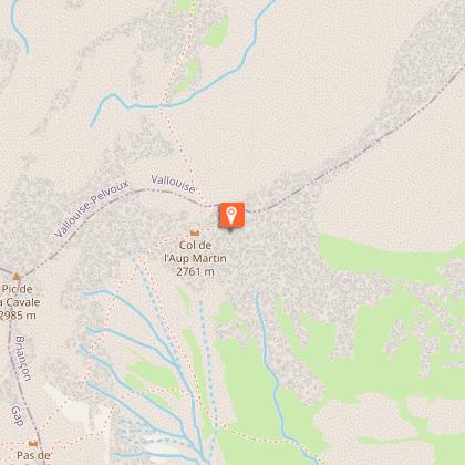
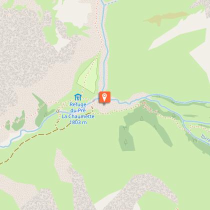
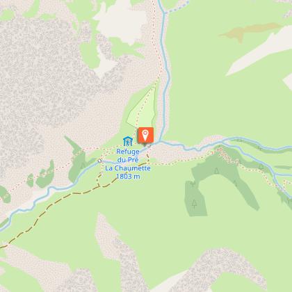
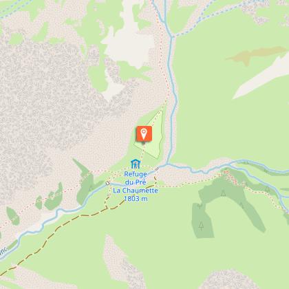
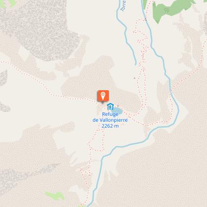
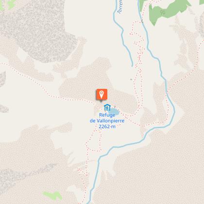
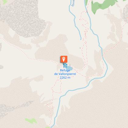
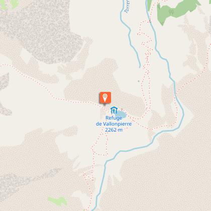
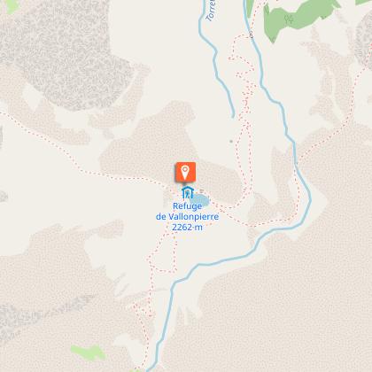
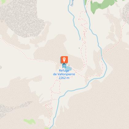
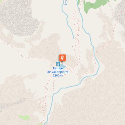
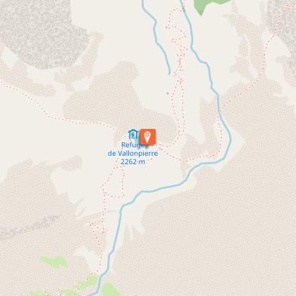
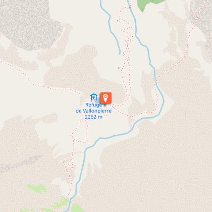
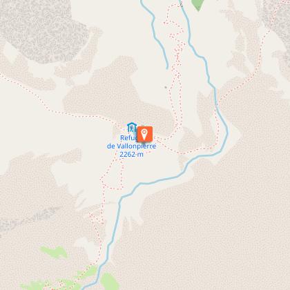
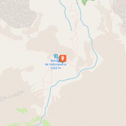
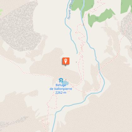
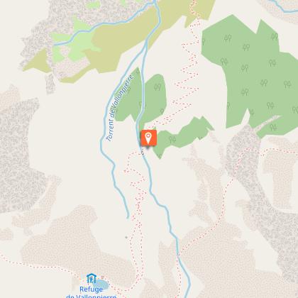
Starting from La Chapelle-en-Valgaudemar, the Tour of L'Oisans and Les Écrins begins gently along the Séveraisse river before striding up the southern slope of the Pic des Souffles which offers an unrivalled view of the Valgaudemar valley. The next day's Stage consists in crossing the impressive Col de la Vaurze. Equally impressive is the descent down into the wild Valjouffrey. The verdant Col de Côte Belle leads to the village of Valsenestre in the Béranger valley. Take a restorative break at the end of this Stage before setting off again on variant B of the GR®54, which is the longest stage of the route in terms of time and one of the most difficult due to its significant elevation changes. Via the Col de la Romeïou, the variant takes you past numerous lakes, one of which is the most iconic on the Oisans side of Les Écrins: Lac du Lauvitel (1,530 m altitude). The next stage then takes you close to the famous Les Deux Alpes winter sports resort on both slopes (Vénosc and Mont-de-Lans) linked by variant C of the GR®54, and comes to the pretty village of Mizoen. The path continues, rising in altitude up the mountain side and shadowing the shore of the large Lac du Chambon below, before it reaches the refuges at the foot of the Emparis plateau. Above, the Col de Souchet offers a five-star view over La Meije. A descent of almost 1,000 metres brings you to La Grave. Here, you have to follow the Romanche river until you reach its source on the alpine pasture of Villar d'Arène. When you reach the Col d’Arsine, the scene is stunning. The surrounding realm of high peaks invites a visit to the glacial Lacs d’Arsine before embarking on a long descent following the mountain stream Le Petit Tabuc, down to the valley of La Guisane and Monêtier-les-Bains. Objective: La Vallouise via the Col de l’Eychauda and the tranquil chalets of Chambrain. Eight kilometres of motor road following the mountain stream L'Onde brings you to the alpine pastures of Jas Lacroix. Crossing the Col de l'Aup Martin, the highest pass on the route, is always a high point of the adventure, and the descent to the Pré de la Chaumette is equally exhilarating. To reach Lac de Vallonpierre, no fewer than three passes cut through the shale have to be negotiated with care. The last stage consists of a long descent into the valley of Valgaudemar where the path comes to La Chapelle en Valgaudemar, the culmination of the GR®.
