Alert
Alerts
La boucle de Tirière
Description
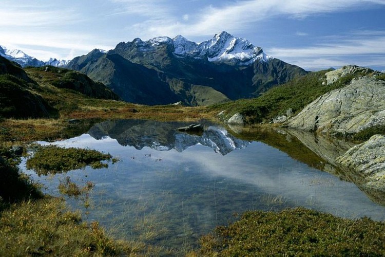
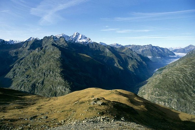
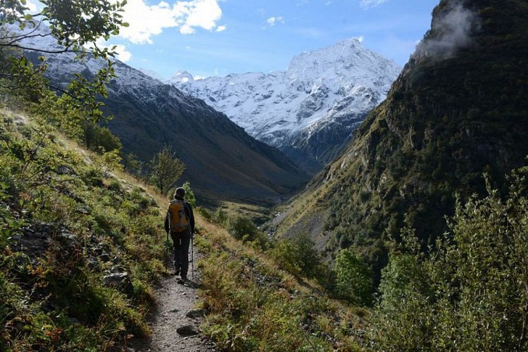
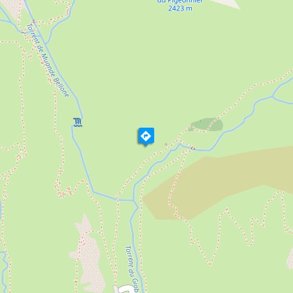
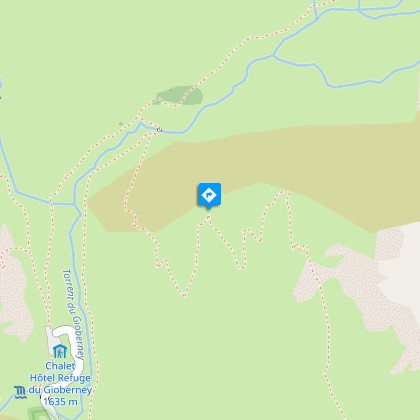
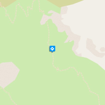
This circuit will take you to the Tirière plateau, a pretty, alpine pasture zone with stunning views of the valley and the surrounding summits.From the Gioberney car park, follow the signs to "Tirière" on the cirque terrace. They lead to a footbridge over the stream. Follow the footpath that comes close to the Gioberney mountain hut (please do not disturb the shepherd). Between this hut and a small larch forest, a sign indicates that you should turn right to cross a second bridge over the stream. From there, another sign indicates "Tirière" to the left. Follow the path that heads through an area of large-leaved plants, before meandering through the larch trees and crossing over moors and pastures. At approximately 2000 m in altitude, follow the arrow that leads you to continue up further (follow the most obvious footpath and not the old mining path, which is not maintained and is high and dangerous). You will come to the "Tirière plateau", where the footpath, leading to the ruins of the Tirière mountain hut, is almost flat. The downward route quickly arrives at the edge of the plateau: the first bends are a little steep, but it then gets easier. Where the route meets another footpath, leading to the Pis mountain hut, turn right and follow the large bends that head down. After crossing a small glacial cross-cliff, take the Minister's footpath then turn right to get to the Minister's car park by means of a flat path. Cross the bridge over the stream that leads to the car park. Take the path indicated by an arrow that leads to the Bride's veil (voile de la mariée) waterfall. Follow the paved road for roughly thirty metres, after crossing the stream take the footpath to the left as shown by an arrow.
Technical Information
Altimetric profile
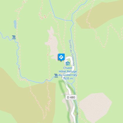
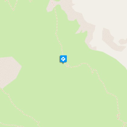
Starting point
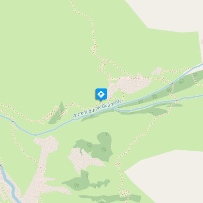
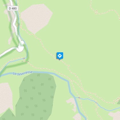
Steps
Additional information
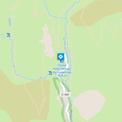
Departure
Gioberney
Arrival
Gioberney
Ambiance
In the summer, an early start means you will be able to witness the wakening of daytime animals. Birdsong, that is quite reserved at dawn, becomes more intense as the sun rises. Sometimes, as you climb up, a misty haze makes the larch trees look ghost-like. The outstanding landscapes from the plateau onwards, change from one moment to the next. The Sirac and the Rouies come out of the shade and become red, pink or even golden, depending on the light in the sky.
Access
From the N85 at Saint Firmin, take the D58 and the D958a as far as La Chapelle en Valgaudemar. Then take the D480t as far as the Gioberney car park.
Advised parking
Chalet du Gioberney car park.
Public transport
Shuttle from Saint Firmin during the summer (it is necessary to reserve 36 hours in advance at voyageurs05 or by calling 04 92 502 505). Connect with buses coming from Gap or Grenoble.
Advice
Before you reach the Tirière plateau be sure not to take the old mining path (high and dangerous), but follow the route indicated. After the Tirière mountain hut, be careful on the first part of the descent, particularly in wet conditions. At the Gioberney mountain hut, please respect the shepherd's peace and quiet.
Herd protection dogs
In mountain pastures, protection dogs are there to protect the herds from predators (wolves, etc.).When I hike I adapt my behavior by going around the herd and pausing for the dog to identify me.Find out more about the actions to adopt with the article "Protection dogs: a context and actions to adopt".Tell us about your meeting by answering this survey.
Is in the midst of the park
The national park is an unrestricted natural area but subjected to regulations which must be known by all visitors.
