Alert
Alerts
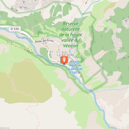
Vallon de la Pilatte par le Chardon - hike from Combe Noire/la Bérarde
Description
Lovely loop at the foot of the Ecrins and Ailefroide.
TECHNICAL INFORMATION
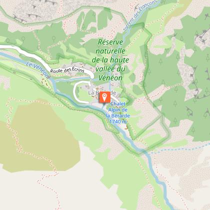
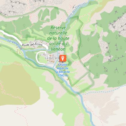
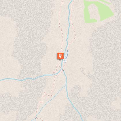
Start: Combe Noire / la Bérarde
Ascent: 500 m
Duration: 8 h loop
Distance: 19 km
Level :
Difficult hike
MAP AND TOPO
IGN Top 25 map n°3436 ET
Topo map OBP n°5 (Oisans au Bout des Pieds), trail 560-556-554
"YOU ARE HIKING IN THE HEART OF THE ECRINS NATIONAL PARK
The Écrins massif is an exceptional area, open to all, with a rare natural, cultural and landscape heritage. To protect these treasures, the heart of the park is marked with blue-white-red painted flags, where regulations must be respected. Please take note of them when preparing your hike to preserve this collective asset on the ecrins-parcnational.fr website."
ITINERARY
From the shuttle bus stop, follow the road to the tourist office reception area, cross the bridge and continue along the left bank of the Vénéon. The path climbs steadily up to the Chardon valley. Look around you, chamois are the masters here. The Écrins with its bar and the Ailefroide face you in all their might.
It's time to set off again, there's still a long way to go. Entering the vallon de la Pilatte, the atmosphere changes from the vegetation of the vallon du Chardon to the mineral environment, with the imposing mountains on either side and above us.
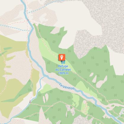
Once you've reached the bottom of the valley, the return journey along the right bank of the Vénéon is much easier, between forest and pasture.
THINGS TO SEE ALONG THE WAY
Rhododendrons, gentians and many other mountain flowers can be seen in the alpine meadow. The
chamois and marmots are not far away: you just need to sharpen your senses to see or hear them.
Technical Information
Altimetric profile
Starting point
Steps
Date and time
- From 15/05/2026 to 31/10/2026
- From 15/05/2027 to 31/10/2027
Additional information
Environments
Mountain view
Mountain location
Updated by
Oisans Tourisme - 12/03/2026
www.bike-oisans.com
Report a problem
Open period
From 15/05 to 31/10 daily.
Contact
Phone : 04 76 80 50 01
Email : info-berarde@oisans.com
Website : https://www.oisans.com/stations-et-villages/saint-christophe-oisans-berarde/
Facebook : https://www.facebook.com/OisansTourisme/
Type of land
Not suitable for strollers
Animals
No
Data author
