Tours
Activities
Places of interest
Where to eat
Where to sleep
Discover the Charm of Croze, Creuse, Limousin
Are you in charge of the destination?Welcome to Croze, Creuse, Limousin! Nestled in the heart of Limousin, this charming town offers a myriad of activities and attractions for visitors of all ages. Begin your adventure with a hike through the stunning wooded areas surrounding Croze. The marked trails will lead you through picturesque landscapes, ideal for nature enthusiasts and photographers.
Not far from here, immerse yourself in t...See more
Not far from here, immerse yourself in t...See more
")


What to do in Croze
See more suggestionsEnjoy unforgettable moments in Croze by booking activities for everyone.
See more suggestions


IGN cards
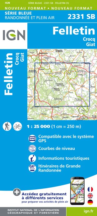
2331SB - FELLETIN CROCQ GIAT
Editor : IGN
Collection : TOP 25 ET SÉRIE BLEUE
Scale : 1:25 000
13.90€

147 LIMOGES GUÉRET PNR DE MILLEVACHES EN LIMOUSIN
Editor : IGN
Collection : TOP 100
Scale : 1:100 000
8.40€

D23-87 CREUSE HAUTE-VIENNE
Editor : IGN
Collection : CARTES DÉPARTEMENTALES IGN
Scale : 1:150 000
5.90€

D03-63 ALLIER PUY-DE-DÔME
Editor : IGN
Collection : CARTES DÉPARTEMENTALES IGN
Scale : 1:150 000
5.90€

EUROPE
Editor : IGN
Collection : DÉCOUVERTE DES PAYS DU MONDE IGN
Scale : 1:2 500 000
7.00€
What to visit in Croze
See more suggestionsAdmire the unique architecture of Croze.
See more suggestions


Where to eat in Croze
See more suggestionsRestaurants in Croze are ready to welcome you.
See more suggestions


Where to sleep in Croze
See more suggestionsExplore accommodation options in Croze.
See more suggestions


