To see around
See more
Open
Close
Consulter
Consulter
Consulter
Consulter
Consulter
Consulter
Consulter
Consulter
Consulter
Consulter
Consulter

Oups... It would appear that Cirkwi does not have permission to use your location.

Description
Map
Steps
Points of interest
Ratings and reviews
See around

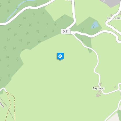
Le Puy Raynaud moor

Lande
Lande en fleurs
Credit : Syndicat d'initiative de La Courtine

Description

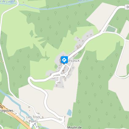
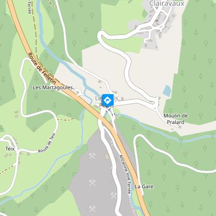
Welcome to the town of Clairavaux, on the Creuse lands of the PNR de Millevaches in Limousin. This trail invites you to discover the special characteristics of the Creuse valley.Depart from the church square. Go back up into the village and turn right into an alley. Go right at the next crossing to reach a grassy path that goes down to a pond.Take the road on the right to reach the crossroads. Cross over the D982 and turn left onto a tarmac path that goes along at the foot of the quarry. It turns into a grassy path; it is a former railway line. Follow it for 2 km.Take the road on the right which goes through Laveix and Raynaud.600 m after Raynaud, turn left onto the forest track. It rises above the meadows. Leave it for a path that climbs up into the undergrowth and leads to a moor. Carry on, following the level pathway. Cross a fence, and you find, on the edge of the military property, a path which you follow to the right.At the crossroads, turn right to go down to the protected spring head. At the catchment level, follow the path alongside the stream to the road. Turn left onto it to reach Abat.In the village, take a tarmac path on the right. It joins a road on the right that you take to reach Teix. At the crossroads (outdoor laundry on the left), take the path that goes down and joins a road that you take on the left for 200 m. Take a path on the right that descends to the D982.Cross it, go around the old gatekeeper's house and follow the track (the old railway) for 500 m. Leave it to take a path on the right that crosses the River Creuse and leads up to an old mill.Cross the road and take a steep path almost opposite. Go up by this small stream and then turn right onto a path that joins the road. Turn left onto it to reach Clairavaux.

Technical informations

This circuit was updated on: 29/03/2024
12 km
3 h
max. 842 m
min. 614 m

Altimetric profile

Starting point

Lat : 45.783234Lng : 2.167077

Steps

image du object
1

Le bourg de Clairavaux

A l’origine et d’après les légendes orales, l’ancien village de Clairavaux se situait près des bois des Trembles, à Branges et portait le nom de « Pyravaux » (vallée porreuse). Depuis les hauteurs, le village profite d’une vue d’ensemble sur la vallée, permettant en temps de guerre de prévenir de l’arrivée des envahisseurs. Le village est organisé comme la plupart des villages de la Montagne Limousine. Il présente une forme groupée d’une vingtaine de maisons. Les habitations sont resserrées autour de l’église, entourées de parcs et jardins, sans vis-à-vis direct. A proximité du village, sont installées les prairies destinées à l’élevage, bordées par des haies.

- Syndicat mixte d'aménagement et de gestion du Parc naturel Régional de Mlillevaches en Limousin -
Consulter
image du object
2

L’église de Clairavaux

L’église, datée du XIIème siècle, s’est agrandie par l’ajout d’une chapelle sud au XVème et d’un portail occidental daté de 1545. Classée aux Monuments Historiques, remarquez l’ensemble du maître autel, les dalles funéraires et les fresques murales  dont un remarquable calendrier paysan daté du XIIIème peint sur l'arc-doubleau. Dans le bourg, sur votre gauche, la fontaine Ste-Hélène récemment restaurée; ne manquez pas une seconde fontaine au niveau du n°18, au fond de l'impasse.

- Syndicat mixte d'aménagement et de gestion du Parc naturel Régional de Mlillevaches en Limousin -
Consulter
image du object
3

Le monument des Trois-Ponts

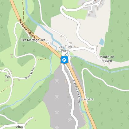
Le 14 juillet 1944 a meurtri l'histoire du village. Trois jeunes résistants d'Aubusson, récemment libérée du joug allemand, ont défilé, drapeau français en tête. Une division de la Wehrmacht positionnée sur la route de Clairavaux les a abattus. Egalement, une victime civile, agricultrice au village du Soulier, fut mortellement blessée.Chaque 14 juillet, une commémoration se tient en souvenir de cet évènement douloureux.

- Syndicat mixte d'aménagement et de gestion du Parc naturel Régional de Mlillevaches en Limousin -
Consulter
image du object
4

La carrière

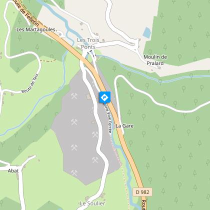
En rive gauche de la Creuse, située à flanc de colline, la carrière de Clairavaux extrait du gneiss depuis près d’un siècle. Le gneiss est traité sur place puis livré aux entreprises locales de travaux et de construction. La production de granulats de gneiss de cette carrière atteint les 100 000 tonnes par an. La carrière de Clairavaux a pu se développer en partie grâce à la proximité immédiate de la voie ferrée. Après la fermeture de la section Felletin-Ussel en 1979, la gare de Clairavaux fut détruite par la suite. 

- Syndicat mixte d'aménagement et de gestion du Parc naturel Régional de Mlillevaches en Limousin -
Consulter
image du object
5

La ligne de chemin de fer

L’ancienne voie de chemin de fer est aujourd’hui déferrée. Cette ligne de la compagnie du chemin de fer du Paris-Orléans, reliait Busseau-sur-Creuse à Ussel sur près de 80 km. La gare de Clairavaux constituait le dixième arrêt, entre celui de Croze au Nord et du Mas d’Artiges au Sud. La section Felletin-Ussel ouvrit le 1er juin. Le jour de l’inauguration, le 4 août 1905 fut l’occasion de grandes fêtes autour du convoi inaugural. La voie ferrée eut une grande importance pour le transport des armements militaires et des troupes allant manœuvrer au camp de La Courtine.

- Syndicat mixte d'aménagement et de gestion du Parc naturel Régional de Mlillevaches en Limousin -
Consulter
image du object
6

La lande

Paysages autrefois courant en Limousin, les landes ont connu un déclin considérable à partir des années 1950 en lien avec la déprise agricole. Aujourd’hui, la lande du Puy-Raynaud constitue un patrimoine unique. Du sommet, vous observerez la vallée de la Creuse. Cette lande sèche culmine à près de 850 m d’altitude. Elle est essentiellement composée de callune (Calluna vulgaris) souvent appelé bruyère commune, dont la floraison est fin août. La présence de la fougère aigle, des genêts et les boisements de pins sylvestres témoignent de la dégradation que subit progressivement cette lande ancienne par abandon du pâturage.

- Syndicat mixte d'aménagement et de gestion du Parc naturel Régional de Mlillevaches en Limousin -
Consulter

Points of interest

image du object

The village of Clairavaux

Originally, and according to oral legends, the ancient village of Clairavaux was located near the Bois des Trembles, in Branges and was called "Pyravaux" (porous valley). From the heights, the village has a view over the valley, useful in times of war to prevent the arrival of invaders. The village is arranged like most of the villages in the Limousin Mountain. It has a grouped form with about twenty houses. The dwellings cluster tightly around the church, surrounded by parks and gardens, without being directly overlooked. Near the village, there are meadows for livestock, bordered by hedges.

- Syndicat mixte d'aménagement et de gestion du Parc naturel Régional de Mlillevaches en Limousin -
Consulter
image du object

Le monument des Trois-Ponts

Le 14 juillet 1944 a meurtri l'histoire du village. Trois jeunes résistants d'Aubusson, récemment libérée du joug allemand, ont défilé, drapeau français en tête. Une division de la Wehrmacht positionnée sur la route de Clairavaux les a abattus. Egalement, une victime civile, agricultrice au village du Soulier, fut mortellement blessée.Chaque 14 juillet, une commémoration se tient en souvenir de cet évènement douloureux.

- Syndicat mixte d'aménagement et de gestion du Parc naturel Régional de Mlillevaches en Limousin -
Consulter
image du object

The railway line

The old railway track has now been lifted. This line, owned by the Paris-Orléans railway company, connected Busseau-sur-Creuse to Ussel for nearly 80 km. The Clairavaux station was the tenth stop, between Croze in the north and Mas d'Artiges in the south. The Felletin-Ussel section opened on June 1st. On the day of the inauguration, August 4, 1905, there were great celebrations around the inaugural convoy. The railway was of great importance for military disarmament transport and troops going on manoeuvres at La Courtine camp.

- Syndicat mixte d'aménagement et de gestion du Parc naturel Régional de Mlillevaches en Limousin -
Consulter
image du object

The moorland

Landscapes once common in Limousin, the moors have experienced a considerable decline since the 1950s in connection with the decline in agriculture. Today, the moorland of Puy-Raynaud is a unique heritage site. From the summit, you will see the valley of the Creuse. This dry moorland culminates at an altitude of nearly 850 m. It is mainly composed of Calluna (Calluna vulgaris) often called common heather, which blooms at the end of August. The presence of the eagle fern, brooms and woodland pine plantations testify to the gradual degradation of this ancient moorland by the abandonment of grazing.

- Syndicat mixte d'aménagement et de gestion du Parc naturel Régional de Mlillevaches en Limousin -
Consulter

Additional information

Departure

Church square, Clairavaux
Arrival

Church square, Clairavaux

Ambiance

Over an area of about 2700 ha, discover the commune of Clairavaux (Clara vallis "the clear valley"). The site offers a diversity of environments characteristic of the Creuse valley and is full of remarkable historic local buildings. Throughout your journey, several viewpoints allow you to admire the landscapes that make up the Upper Creuse Valley.

Access

15 km from Felletin, leave the D982 to go up to the village of Clairavaux.

Advised parking

Church square, Clairavaux

Advice

The moorland of Puy Raynaud, once grazed by sheep, is a sensitive environment that must be preserved.

Ratings and reviews

To see around
See more
Open
Close
Consulter
Consulter
Consulter
Consulter
Consulter
Consulter
Consulter
Consulter
Consulter
Consulter
Consulter