Alert
Alerts
Au fil de la Dejoune - 20 km


Description
This hike follows the River Dejoune up to the sources of its many streams, on the edge of the La Courtine military camp. As you make your way along the upper reaches of the valley, you'll come across a succession of small hamlet heritage features and viewpoints. The "grand bois" communal forest offers a variety of forest atmospheres, with hardwoods dominated by oaks, beeches and various conifers. On the way back, the 14th-century church of Saint Pierre and Saint Paul and the lime tree known as "de Sully" invite you to stop off.
This circuit includes a 15 km shortcut.
For further information and a "Step by Step" description, download the PDF file.
Technical Information
Altimetric profile
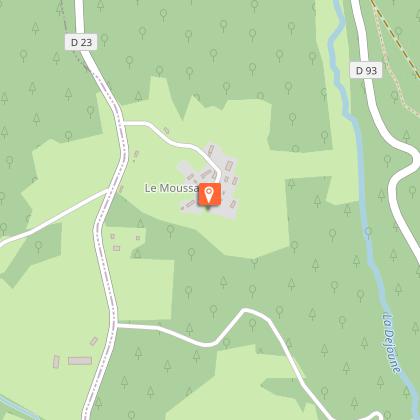
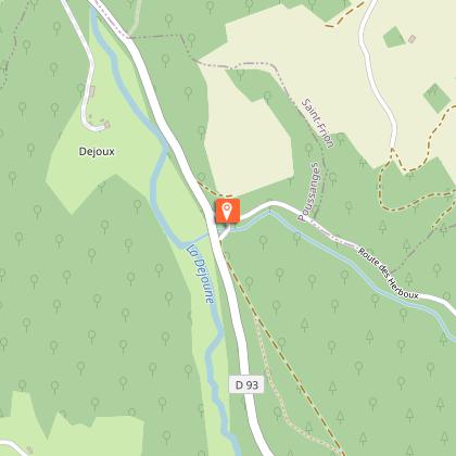
Starting point
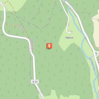
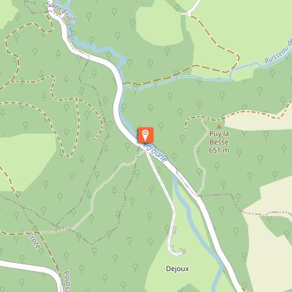
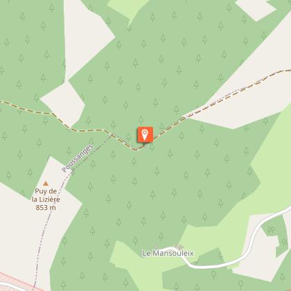
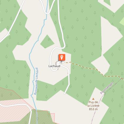
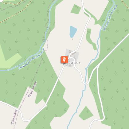
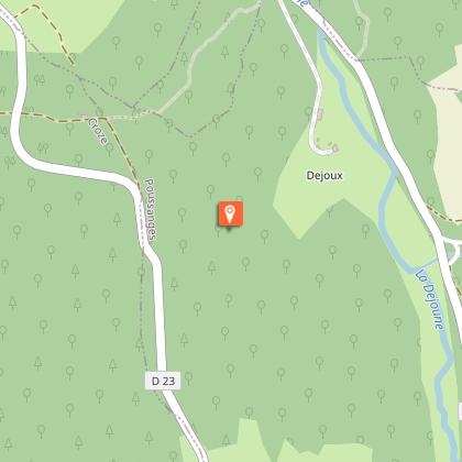
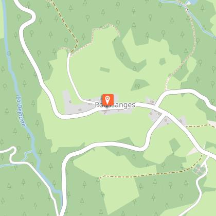
Steps


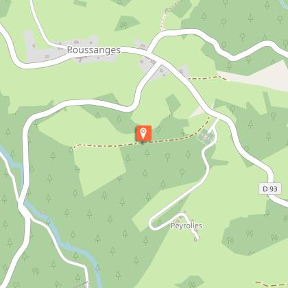
Points of interest


Additional information
Contact
Fixed telephone : 05 19 60 00 30
Web site (URL) : www.tourisme-hautecorreze.fr/
e-mail : accueil@otc-haute-correze.fr
Balisage
Yellow
Typologie de l'itinéraire
Loop
Thèmes
Cultural
Natural
Durée moyenne de l'expérience
Over 4 hours
Accessible aux personnes à mobilité réduite
Non
Animaux bienvenus ?
Oui
Data author
