Alert
Alerts
Description
Map
Ratings and reviews
See around
View over the upper Creuse valley

Credit
: Office de tourisme Aubusson Felletin
Description
This river has its source at an altitude of 816 m south of Felletin on the Millevaches plateau. It runs 264 km and crosses the Creuse, the Indre, the Indre-et-Loire and the Vienne rivers, then flows into the Vienne river. Its name comes from Celtic etymology, and means "deep valley".
Technical Information
Lat, Lng
45.85792.17545
Coordinates copied
Altitude
594 m
Point of Interest updated on 20/11/2025
Altimetric profile
IGN cards

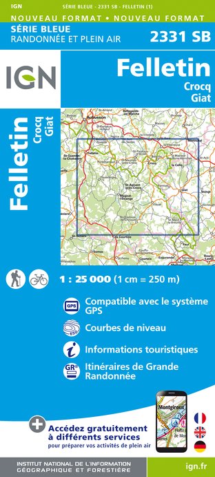
2331SB - FELLETIN CROCQ GIAT
Editor : IGN
Collection : TOP 25 ET SÉRIE BLEUE
Scale : 1:25 000
13.90€

147 LIMOGES GUÉRET PNR DE MILLEVACHES EN LIMOUSIN
Editor : IGN
Collection : TOP 100
Scale : 1:100 000
8.40€

D23-87 CREUSE HAUTE-VIENNE
Editor : IGN
Collection : CARTES DÉPARTEMENTALES IGN
Scale : 1:150 000
5.90€

D03-63 ALLIER PUY-DE-DÔME
Editor : IGN
Collection : CARTES DÉPARTEMENTALES IGN
Scale : 1:150 000
5.90€

EUROPE
Editor : IGN
Collection : DÉCOUVERTE DES PAYS DU MONDE IGN
Scale : 1:2 500 000
7.00€
Data author
Ratings and reviews
To see around
