Tours
Activities
Places of interest
Where to eat
Where to sleep
Stay at Campasun Camping Les Hautes Prairies in Lourmarin
Are you the owner?Welcome to Lourmarin, the jewel of Vaucluse, nestled in the heart of Provence-Alpes-Côte d'Azur! During your stay at Campasun Camping Les Hautes Prairies, you'll have the chance to discover a captivating setting filled with natural and cultural treasures. Start with a visit to the Château de Lourmarin, a stunning Renaissance castle that offers breathtaking views of the Provençal landscape. Wander ...See more
Walking around CAMPASUN CAMPING LES HAUTES PRAIRIES
See more suggestionsExplore the parks and paths of CAMPASUN CAMPING LES HAUTES PRAIRIES.
See more suggestions


What to do in CAMPASUN CAMPING LES HAUTES PRAIRIES
See more suggestionsBook your activities in CAMPASUN CAMPING LES HAUTES PRAIRIES and experience memorable moments.
See more suggestions


IGN cards
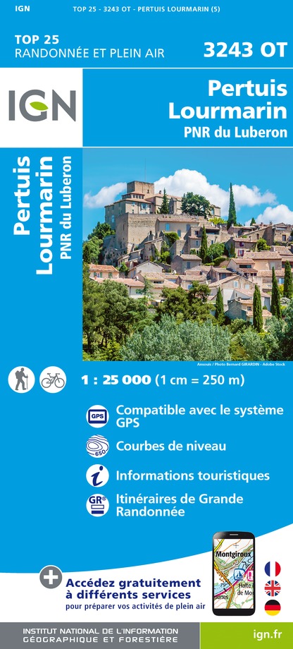
3243OT - PERTUIS LOURMARIN PNR DU LUBERON
Editor : IGN
Collection : TOP 25 ET SÉRIE BLEUE
Scale : 1:25 000
13.90€

TOP75034 - LUBERON MONT VENTOUX
Editor : IGN
Collection : TOP 75
Scale : 1:75 000
9.80€

VEL03 - LE VAUCLUSE A VÉLO
Editor : IGN
Collection : DECOUVERTE A VELO
Scale : 1:100 000
9.10€

TOP100D13 - BOUCHES-DU-RHÔNE MARSEILLE AIX-EN-PROVENCE PARC NATIONAL DES CALANQUES PNR DES ALPILLES ET DE CAMARGUE
Editor : IGN
Collection : TOP 100
Scale : 1:100 000
8.40€

TOP100D84 - VAUCLUSE AVIGNON CARPENTRAS PARCS NATURELS RÉGIONAUX DU LUBERON ET DU MONT-VENTOUX
Editor : IGN
Collection : TOP 100
Scale : 1:100 000
8.40€

D04-05 ALPES-DE-HAUTE-PROVENCE HAUTES-ALPES
Editor : IGN
Collection : CARTES DÉPARTEMENTALES IGN
Scale : 1:150 000
5.90€

D13-84 BOUCHES-DU-RHÔNE VAUCLUSE
Editor : IGN
Collection : CARTES DÉPARTEMENTALES IGN
Scale : 1:150 000
5.90€

D83 VAR
Editor : IGN
Collection : CARTES DÉPARTEMENTALES IGN
Scale : 1:150 000
5.90€

NR16 PROVENCE-ALPES-CÔTE D'AZUR
Editor : IGN
Collection : CARTES RÉGIONALES IGN
Scale : 1:250 000
6.80€

EUROPE
Editor : IGN
Collection : DÉCOUVERTE DES PAYS DU MONDE IGN
Scale : 1:2 500 000
7.00€
What to visit in CAMPASUN CAMPING LES HAUTES PRAIRIES
See more suggestionsRelax in the parks of CAMPASUN CAMPING LES HAUTES PRAIRIES.
See more suggestions


Where to eat in CAMPASUN CAMPING LES HAUTES PRAIRIES
See more suggestionsFood enthusiasts will love CAMPASUN CAMPING LES HAUTES PRAIRIES's restaurants.
See more suggestions


Where to sleep in CAMPASUN CAMPING LES HAUTES PRAIRIES
See more suggestionsFind an ideal lodging in CAMPASUN CAMPING LES HAUTES PRAIRIES.
See more suggestions


