Alert
Alerts
Tour des Bauges - 6-day hike


IGN cards


Description
During this hike, deep in the Bauges Regional Natural Park, you will discover a genuine and contrasting mountain range, alternating between vast forests on the Revard plateau to the alpine pastures and cliff faces at the heart of the Bauges.
This morning the sun is shining on La Féclaz. The temperature is a little cool at this altitude, but it's ideal weather to start a day's hiking.
We start slowly, crossing the Nordic plateau. You can imagine it covered in snow in winter, with skiers hurtling down the slopes.
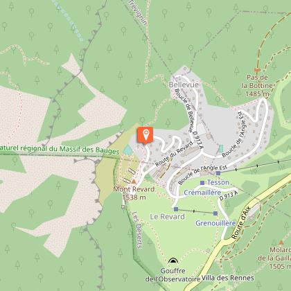
Once you've reached Le Revard, the view over the Lac du Bourget plain is splendid. Just in time, it's picnic time at the Tome des Bauges!
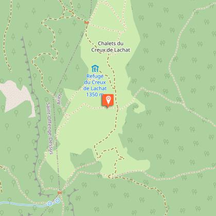
Back on the Chemin des Crêtes. Then it's back down to the mountain pastures and the Baujus chalets, waving to the cows as we go. Only the Col de la Cochette remains to be crossed before we reach the Refuge du Creux de Lachat. The warden's welcome and beer on the terrace are the perfect way to round off such a beautiful day.
After a good night's sleep, we're ready to continue our adventure in the Bauge region, which still holds a few surprises in store: gorges, caves, cliffs, ice houses and even a Devil's Bridge...
Looking forward to tomorrow!
Technical Information
Altimetric profile
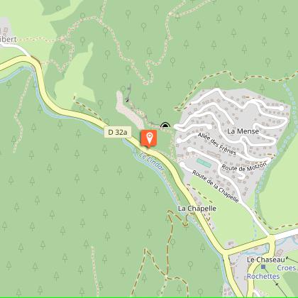
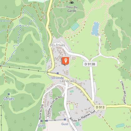
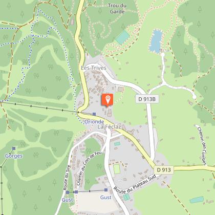
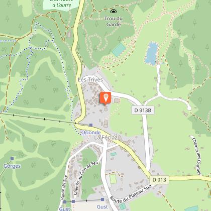
Starting point
Steps


Points of interest


Additional information
Updated by
Agence alpine des territoires - 14/10/2025
www.agate-territoires.fr
Report a problem
Environments
Mountain view
Mountain location
Location complements
Car access and plenty of parking at La Féclaz.
Access by bus with Synchromontagne, ask at the tourist office.
Contact
Phone : 04 79 54 84 28
Email : accueil.bauges@chamberymontagnes.com
Website :
https://rando.parcdesbauges.com/
https://www.chamberymontagnes.com/randonnees-et-trail/
Topo guides and map references
Topo guides references :
Topoguide FFR n° 902 - Tours and crossings of the Massif des Bauges
Map references :
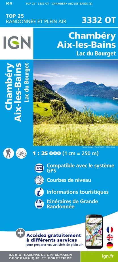
IGN Top 25 - 3432OT Massif des Bauges
IGN Top 25 - 3332OT Chambéry
Type of land
Not suitable for strollers
Guidebook with maps/step-by-step
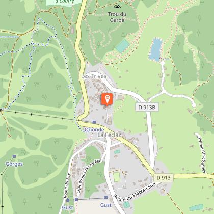
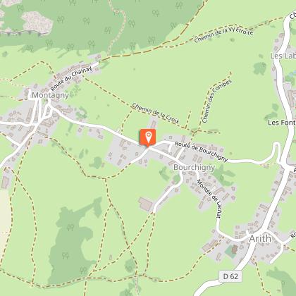
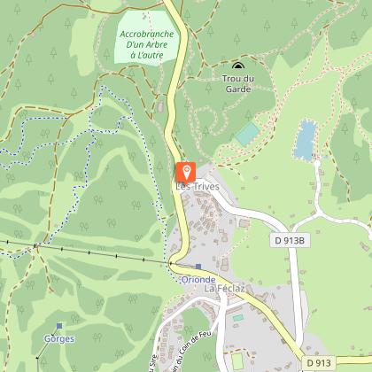
1/ DAY 1: La Féclaz - Arith (Gite de la Fruitière) / Duration: 6h20 / Ascent: + 762 m / - 1323 m / Distance: 24.8 km / Difficulty: Red
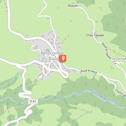
2/ DAY 2: Arith (La Fruitière) - Roc des Bœufs (Bellecombe) / Duration: 4h30 / Difference in altitude: + 522 m / - 259 m / Distance: 11 km / Difficulty: Blue
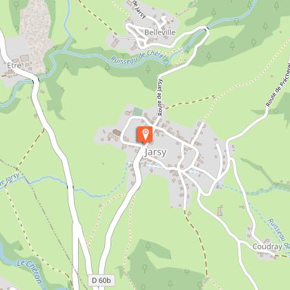
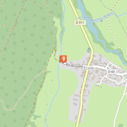
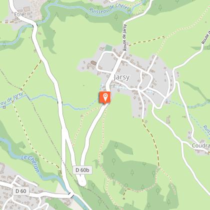
3/ DAY 3: Roc des Bœufs - Jarsy (l'Arcalod) / Time: 4h30 / Ascent:
+ 403 m / - 575 m / Distance: 11 km / Difficulty: Blue
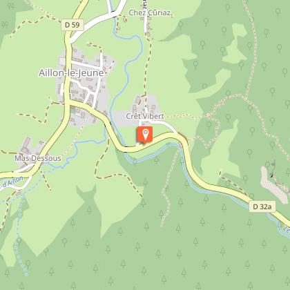
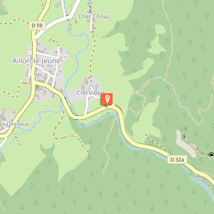
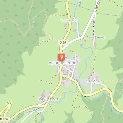
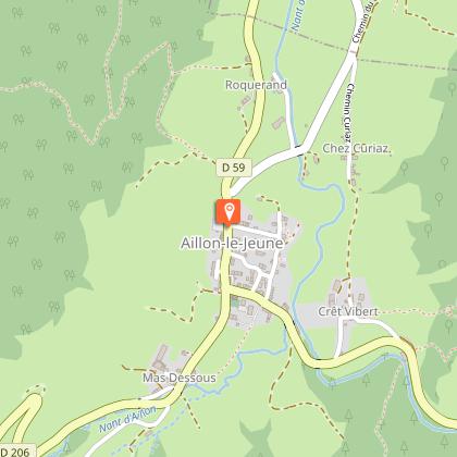
4/ DAY 4: Jarsy (l'Arcalod) - Aillon-le-Jeune / Time: 6h / Difference in altitude :
+ 1025 m / - 983 m / Distance: 16.6 km / Difficulty: Red
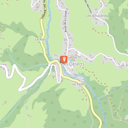
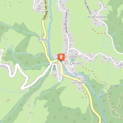
5/ DAY 5: Aillon-le-Jeune - Les Déserts (Hôtel le Margériaz) / Time: 5h15 / Difference in altitude: + 922 m / - 903 m / Distance: 14 km / Difficulty: Red
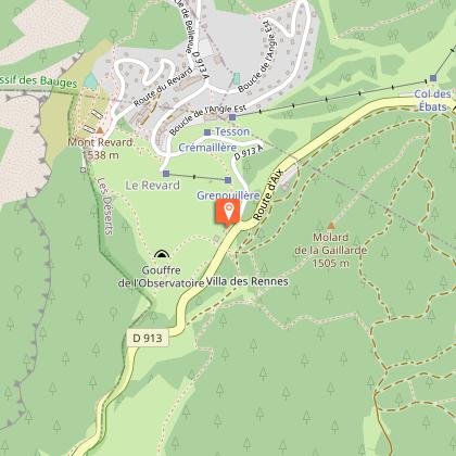
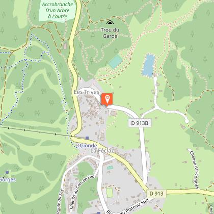
6/ DAY 6: Les Déserts (Hôtel le Margériaz) - la Féclaz / Time: 3h45 / Ascent: + 735 m / - 328 m / Distance: 12.3 km / Difficulty: Red
Animals
Yes. Dogs allowed on the route (dogs forbidden in the nature reserve for hunting and wildlife). Please enquire about accommodation facilities.
Data author
