Alert
Alerts
Tour des Bauges - Stage 6 - From Les Déserts to La Féclaz


Description
The final short but spectacular stage is the Croix du Nivolet, a lookout point overlooking Chambéry and the Savoyard foreland.
As you climb Mont Nivolet, you'll follow the cliff and its large via-ferrata: an idea for a future excursion?
Technical Information
Altimetric profile
Additional information
Updated by
Agence alpine des territoires - 14/10/2025
www.agate-territoires.fr
Report a problem
Contact
Phone :
04 79 54 86 40
04 79 33 42 47
Email :
info@parcdesbauges.com
accueil.chambery@chamberymontagnes.com
Website :
http://www.parcdesbauges.com
https://www.chamberymontagnes.com
Guidebook with maps/step-by-step
6/ 1- Go up opposite the Déserts church. Follow the road, then a track to Les Charmettes. At the entrance to the hamlet, turn right. Climb up to the small Préteret chalet (gate), then gently slope down into the mountain pastures. At the top, skirt wetlands, then enter the forest (gates).2- Descend to the right to reach Col de la Doria (1138m). Turn right onto a flat track bordering a meadow. At 350m, turn left into the forest. The path climbs through beech-fir forest, with a few steeper rocky sections (disregard the paths on the left that join the cliffs leading to the via-ferrata), as far as the Nivolet shelter crossroads (1512m) - 3- 5-minute walk to the Nivolet cross. Turn right onto the path, often wide and busy, that runs all the way up Mont du Nivolet - 4- Arrive at Chalet du Sire (1521m). In front of the chalet, fork right onto the track that descends into the Bois de l'Envers. At the edge of the wood, turn right to cross the pastoral plateau of the Chalets de Glaise (1297m). Turn left at La Chapelle (1293m), and take the small road to reach the center of La Féclaz resort (1319m)- 5- Reach the La Féclaz Tourist Office.
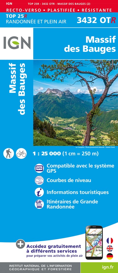
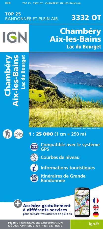
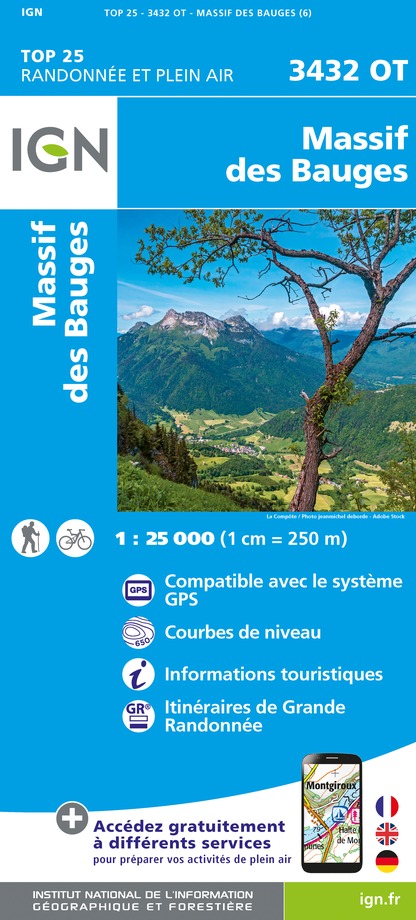
IGN cards


Data author
