Tours
Activities
Places of interest
Where to eat
Where to sleep
Zambala Nyama: Nature escapes in Cunlhat, Auvergne
Are you the owner?Welcome to ZAMBALA NYAMA, your gateway to natural and cultural wonders in the heart of Cunlhat, Puy-de-Dôme, Auvergne. Nestled in picturesque surroundings, Cunlhat offers a plethora of activities to suit every preference. Discover the wild beauty of the Livradois-Forez mountains, perfect for hiking and observing local wildlife. Wander along well-marked trails, where each turn reveals breathtaking ...See more
Walking around ZAMBALA NYAMA
See more suggestionsDiscover the walking paths of ZAMBALA NYAMA.
See more suggestions


What to do in ZAMBALA NYAMA
See more suggestionsExplore the bookable activity options in ZAMBALA NYAMA for all tastes and ages.
See more suggestions


IGN cards
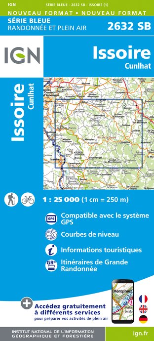
2632SB - ISSOIRE CUNLHAT
Editor : IGN
Collection : TOP 25 ET SÉRIE BLEUE
Scale : 1:25 000
13.90€
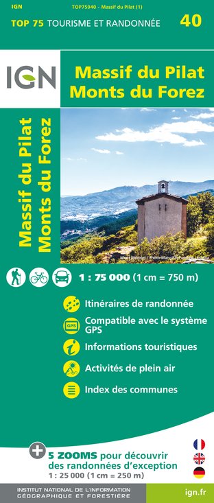
TOP75040 - MASSIF DU PILAT MONTS DU FOREZ
Editor : IGN
Collection : TOP 75
Scale : 1:75 000
9.80€

D03-63 ALLIER PUY-DE-DÔME
Editor : IGN
Collection : CARTES DÉPARTEMENTALES IGN
Scale : 1:150 000
5.90€

D42-43 LOIRE HAUTE-LOIRE
Editor : IGN
Collection : CARTES DÉPARTEMENTALES IGN
Scale : 1:150 000
5.90€

EUROPE
Editor : IGN
Collection : DÉCOUVERTE DES PAYS DU MONDE IGN
Scale : 1:2 500 000
7.00€
What to visit in ZAMBALA NYAMA
See more suggestionsVisit the museums and galleries of ZAMBALA NYAMA.
See more suggestions


Where to eat in ZAMBALA NYAMA
See more suggestionsRestaurants in ZAMBALA NYAMA offer a variety of cuisines.
See more suggestions


Where to sleep in ZAMBALA NYAMA
See more suggestionsStay at one of the many hotels in ZAMBALA NYAMA.
See more suggestions


