Tours
Activities
Places of interest
Where to eat
Where to sleep
Le coin tranquille: Discoveries around Les abrets, Isère
Are you the owner?Welcome to Le Coin Tranquille, your gateway to a plethora of enriching activities and local attractions around Les Abrets, Isère, Rhône-Alpes. Nestled in the heart of this stunning region, this destination offers a bucolic setting perfect for nature lovers and history enthusiasts. Start your day with a hike in the Chartreuse Massif, renowned for its picturesque paths and breathtaking views. For cy...See more
Walking around LE COIN TRANQUILLE
See more suggestionsHiking trails in the LE COIN TRANQUILLE area.
See more suggestions


What to do in LE COIN TRANQUILLE
See more suggestionsExplore the many bookable activities in LE COIN TRANQUILLE and make the most of every moment.
See more suggestions


IGN cards
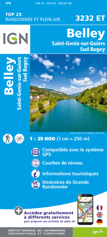
3232ET - BELLEY SAINT-GENIX-SUR-GUIERS SUD BUGEY
Editor : IGN
Collection : TOP 25 ET SÉRIE BLEUE
Scale : 1:25 000
13.90€

TOP75002 - CHARTREUSE BELLEDONNE
Editor : IGN
Collection : TOP 75
Scale : 1:75 000
9.80€

TOP100D73 - SAVOIE CHAMBÉRY ALBERTVILLE PARC NATIONAL DE LA VANOISE PNR DU MASSIF DES BAUGES
Editor : IGN
Collection : TOP 100
Scale : 1:100 000
8.40€

TOP100D74 - HAUTE-SAVOIE ANNECY THONON-LES-BAINS MASSIF DU MONT BLANC CHAÎNE DES ARAVIS
Editor : IGN
Collection : TOP 100
Scale : 1:100 000
8.40€

202 JURA ALPES DU NORD
Editor : IGN
Collection : TOP 200
Scale : 1:200 000
6.80€

D38 ISÈRE
Editor : IGN
Collection : CARTES DÉPARTEMENTALES IGN
Scale : 1:150 000
5.90€

D01-69 AIN RHÔNE
Editor : IGN
Collection : CARTES DÉPARTEMENTALES IGN
Scale : 1:150 000
5.90€

NR14 AUVERGNE-RHÔNE-ALPES RECTO/VERSO MASSIF CENTRAL
Editor : IGN
Collection : CARTES RÉGIONALES IGN
Scale : 1:250 000
6.80€

NR15 AUVERGNE-RHÔNE-ALPES RECTO/VERSO MASSIF ALPIN
Editor : IGN
Collection : CARTES RÉGIONALES IGN
Scale : 1:250 000
6.80€

EUROPE
Editor : IGN
Collection : DÉCOUVERTE DES PAYS DU MONDE IGN
Scale : 1:2 500 000
7.00€
What to visit in LE COIN TRANQUILLE
See more suggestionsShop in the boutiques of LE COIN TRANQUILLE.
See more suggestions


Where to eat in LE COIN TRANQUILLE
See more suggestionsEnjoy delicious dishes at LE COIN TRANQUILLE's restaurants.
See more suggestions


Where to sleep in LE COIN TRANQUILLE
See more suggestionsExplore lodging possibilities in LE COIN TRANQUILLE.
See more suggestions


