Tours
Activities
Places of interest
Where to eat
Where to sleep
Camping Municipal Citadelle: Discover Blaye, Gironde
Are you the owner?Welcome to Camping Municipal Citadelle, located in the heart of Blaye, Gironde, a region rich in heritage and activities. Blaye is famous for its citadel, a UNESCO World Heritage site. Stroll along its ramparts and enjoy breathtaking panoramic views of the Gironde estuary. Wine enthusiasts can explore the surrounding vineyards and taste some of the finest Bordeaux wines. For hikers, the marked tra...See more
Walking around CAMPING MUNICIPAL CITADELLE
See more suggestionsHiking routes in CAMPING MUNICIPAL CITADELLE.
See more suggestions


What to do in CAMPING MUNICIPAL CITADELLE
See more suggestionsMake your stay in CAMPING MUNICIPAL CITADELLE special by booking activities.
See more suggestions


IGN cards
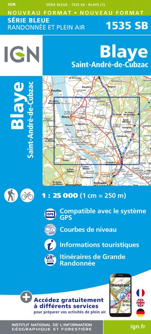
1535SB - BLAYE SAINT-ANDRÉ-DE-CUBZAC
Editor : IGN
Collection : TOP 25 ET SÉRIE BLEUE
Scale : 1:25 000
13.90€

145 BORDEAUX ARCACHON GIRONDE MÉDOC
Editor : IGN
Collection : TOP 100
Scale : 1:100 000
8.40€

D33 GIRONDE
Editor : IGN
Collection : CARTES DÉPARTEMENTALES IGN
Scale : 1:150 000
5.90€
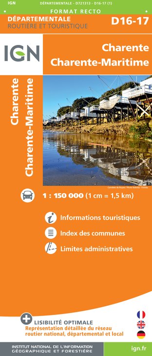
D16-17 CHARENTE CHARENTE-MARITIME
Editor : IGN
Collection : CARTES DÉPARTEMENTALES IGN
Scale : 1:150 000
5.90€

EUROPE
Editor : IGN
Collection : DÉCOUVERTE DES PAYS DU MONDE IGN
Scale : 1:2 500 000
7.00€
What to visit in CAMPING MUNICIPAL CITADELLE
See more suggestionsVisit the museums and galleries of CAMPING MUNICIPAL CITADELLE.
See more suggestions


Where to eat in CAMPING MUNICIPAL CITADELLE
See more suggestionsThe flavors of CAMPING MUNICIPAL CITADELLE await you.
See more suggestions


Where to sleep in CAMPING MUNICIPAL CITADELLE
See more suggestionsExplore hostels and hotels in CAMPING MUNICIPAL CITADELLE.
See more suggestions


