Tours
Activities
Places of interest
Where to eat
Where to sleep

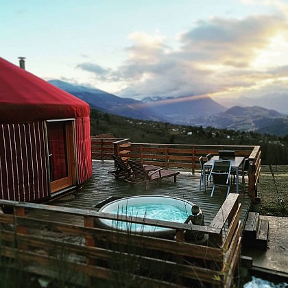
Nature and relaxation in Oulles, Isère, Rhône-Alpes

Are you in charge of the destination?
Nestled in the heart of the Rhône-Alpes region, the charming town of Oulles, Isère, offers a little piece of paradise for nature and tranquility lovers. Visitors here discover a rich array of outdoor activities and breathtaking Alpine landscapes. In the summer, the village is an ideal starting point for hikes through the majestic mountains of the Oisans, with trails winding through lush valleys an...See more

Walking around Oulles

See more suggestions
Explore the walking circuits of Oulles.
See more suggestions
Refuge du Taillefer par Oulles
151 m

Refuge du Taillefer par Oulles

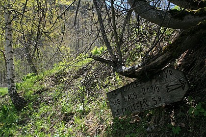
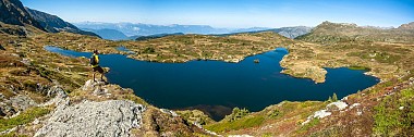
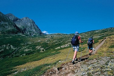
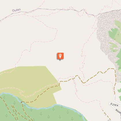
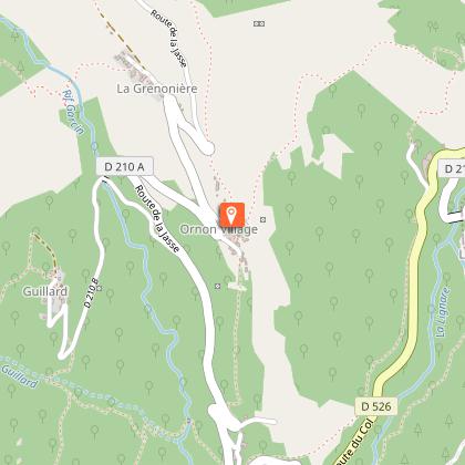
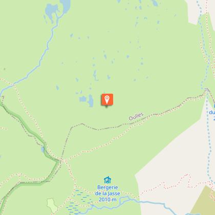
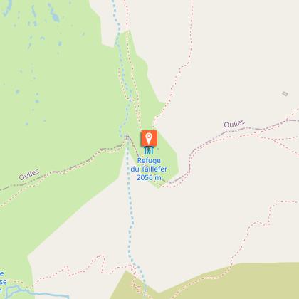
Starting from Oulles, the path leading up to the Taillefer mountain hut offers one of the clearest views over the Oisans mountain tops, from the Rousses to the Ecrins. The Taillefer Plateau is a Natura 2000 site, where many species of flora and fauna are protected and sensitive, so we need to adapt our behavior so that the landscape and biodiversity continue to amaze us: - I stay on the marked trails (paint, signs...). I don't take shortcuts that cause soil erosion, destroy vegetation and disturb wildlife and herds. - I keep my dog on a leash to avoid disturbing wildlife and domestic herds. - I don't make fires in the mountains. It destroys the soil for decades. - I bivouac outside wetlands and pitch my tent at suitable times (7pm-9am). - I don't litter. - I don't pick flowers. I prefer a lasting souvenir by taking a photo. - I ask about private ownership of certain areas. TECHNICAL INFORMATION : Start: Car park at the entrance to the village of Oulles Ascent: 700 m Duration: 2h30 uphill Distance: 3.9km Level: Medium MAP AND TOPO : OBP map n°1 (Oisans au Bout des Pieds): trail 636 IGN Top 25 map n°3335 OUEST ITINERARY: From Oulles, take the road to the hamlet of Pouillard, then follow the carriage road, leaving it after around 750 m for a path on the right. The path becomes steeper and offers fantastic views of the village of Oulles and all the Oisans massifs. It then enters the mountain pastures, passes beneath the Carrelet communal chalet and crosses to the Taillefer refuge. THINGS TO SEE ALONG THE WAY -The village of Oulles -Taillefer lakes -Taillefer refuge NEARBY SIGHTS -Ornon and its hamlets -The village of Villard-Reymond

3 h
3.9 km
Easy
38520 Oulles
Show
Oulles, La Palud - Hiking from Le Bourg-d'Oisans
2.6 km

Oulles, La Palud - Hiking from Le Bourg-d'Oisans

TECHNICAL INFORMATION Start: La Paute - Le Bourg-d'Oisans Ascent: 1190m Return journey 8h Distance: 15km Level: Difficult (steep ascent and descent) MAPS AND TOPOS IGN map 3335ET OBP Topoguide n° 1 ITINERARY Pass through the hamlet of La Paute and continue straight on to Boirond (signs). Take the left-hand combe which climbs steeply into the wood, along a good path often on a balcony, discovering numerous Malaine ruins bearing witness to a lively past. Exit the wood via a collet overlooking the village of Oulles, opposite Taillefer and Grand Galbert, at Le Piret at 1401m (signs). Beautiful views of Taillefer, Rochail, Muzelle, La Meije, Grandes Rousses... Descend to the village along a beautiful path with well-placed benches for contemplation, and follow the signs to Puy d'Oulles. At the end of the village, at a crow's-foot, follow the road to the left, then turn left onto an undergrowth path (wooden signpost to Puy d'Oulles). Here begins the descent through the combe du Collet, which is fairly steep and crosses three streams. At the end of the wood, you come to a wide path in a bend, in front of a small cliff surmounted by a stone oratory (several of the same style will be found along the way). Follow this good path to the left to reach Puy d'Oulles (ruins). Descend to the left along a wide, steep path to Clos de Balme (or Barme, on the map), continue along the road for about 600m to the hamlet of La Palud. Go up to the Villard-Reymmond road on the left, follow it for a moment, then take the path that descends to the left along the Lignarre, towards La Paute (signs). You cross the torrent twice on beautiful footbridges, then simply slide down to the road and join the parking lot.

8 h
15 km
Medium
La Paute 38520 Le Bourg-d'Oisans
Show

What to do in Oulles

See more suggestions
The best experiences in Oulles are just a click away, book now.
See more suggestions
Romanche Museum
6.6 km

Romanche Museum

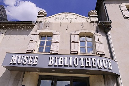
The Musée de la Romanche traces the industrial, energy and human history of the Romanche valley, an area shaped by water, hydroelectricity and the development of major industries. The Musée de la Romanche, located in Livet-et-Gavet, was created in 2001. It traces the industrial, human and energy history of the Romanche valley, an area shaped by water, fed by five torrents, and which over time has become a major economic factor in Isère. On the 1st floor, a space is dedicated to Charles-Albert Keller, an emblematic figure in local industrialization and a pioneer in the development of hydroelectricity in the valley. The Keller space features an immersive museography showcasing numerous models, some of which have recently been restored. These spectacular models were once presented by Keller at world and international exhibitions, illustrating the industrial innovation of the time. The 2nd floor is dedicated to the other industries of the Val de Livet, which accompanied the start-up and expansion of industrialization in the valley: the Neyret paper mill in Rioupéroux, steel and synthetic iron production in Livet, aluminum production in Rioupéroux, and calcium carbide production in Gavet with the CUAEM group. This space also highlights the social and territorial impact of this industrial activity on the hamlets of Livet, Rioupéroux and Gavet, and on the daily lives of their inhabitants. The Musée de la Romanche thus offers a fascinating discovery of a unique industrial heritage, in the heart of a valley where nature and industry are closely linked. The museum is a member of the Route des Savoir-Faire de l'Oisans. It organizes guided tours of the museum (by appointment).

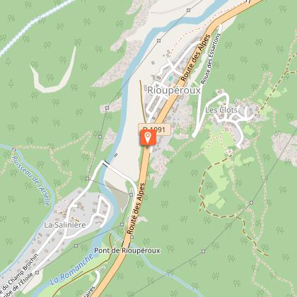
Route des Alpes Rioupéroux 38220 Livet-et-Gavet
Book from 0 €Book
Show
Cross-Country Ski Domain in Auris-en-Oisans
7.4 km

Cross-Country Ski Domain in Auris-en-Oisans

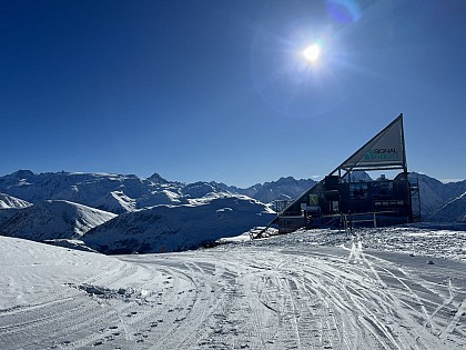
Situated at an altitude of 1,600 meters, the small Aurienchon Nordic ski area offers a friendly experience, away from the crowds, while enjoying exceptional panoramic views of the high peaks, including the Meije. The Auris-en-Oisans Nordic ski area is divided into 2 sectors, for 2 ambiances: → COL DE MARONNE / ROCHETTE SECTOR This sector comprises 2 runs. - A round trip from the resort to the Col de Maronne. Types of use: cross-country skiing (classic and skating) and snowshoeing. - An 8 km loop, called the Loop de la Rochette, starting from the resort. Types of activity: cross-country skiing (classic and skating), snowshoeing and dog sledding. Atmosphere: vast expanses of snow face the Alpe d'Huez resort and the peaks of the Grandes Rousses massif, including the Pic Blanc. Then the view opens out onto the Taillefer massif, and finally the Écrins. A little piece of Alaska in the Alps. Reminder: snowshoe hikers, please respect the dedicated areas. Cross-country trails are strictly reserved for skiers, who must be given priority (so that they can keep up their skiing pace). → PIÉGUT FOREST SECTOR Consisting of a single 4 km run, this trail starts at the resort. Type of activity: snowshoeing. Atmosphere: the trail winds its way through one of Europe's tallest and most beautiful spruce forests. The play of light between the snow-laden branches, the animal tracks and the peaks revealed along the way will transport you to the far north. A must-see in Auris-en-Oisans! Reminder: snowshoe hikers, please respect the designated areas. Priority must be given to skiers (so that they can keep their own pace).

38142 Auris-en-Oisans
Book from 0 €Book
Show
Espace Alpe d'Huez
7.4 km

Espace Alpe d'Huez

Just 1h30 from Grenoble, in the heart of Isère, Alpe d'Huez is one of the largest mountain playgrounds in the Auvergne-Rhône-Alpes region. This complete and varied ski area welcomes families and keen skiers alike! With 250 km of slopes, there's something for everyone: Beginners: dedicated areas, wide, safe runs for safe learning. Intermediates: varied itineraries, long descents and progressive slopes. Experts: technical trails, steep ascents and challenging sectors to push yourself. The ski area links five complementary resorts, offering a diversity of atmospheres and panoramas to discover throughout your stay: Alpe d'Huez: the beating heart of the resort, with direct access to the main sectors and services. Auris-en-Oisans: family atmosphere and soothing surroundings. Oz 3300: authenticity, quick access to the high peaks and Pic Blanc. Vaujany: mountain charm, modernity and family-friendly facilities. Villard-Reculas: natural skiing, intimate area and exceptional panoramas. The resort's assets 3,330 m altitude Pic Blanc, Sarenne glacier and breathtaking panoramic views. 250 km of runs - 111 trails A complete universe for all levels. A snow guarantee 67 lifts, 1,053 snow guns and 27 snow ploughs. 300 days of sunshine a year South-facing for bright skiing. Iconic slopes & easy access to the summits The resort is home to some legendary runs, including : La Sarenne, Europe's longest black run (16 km). The Tunnel, a unique technical challenge after its emblematic underground passage. Thanks to a modern network of lifts, access to the summits is fluid, fast and comfortable. The resort continues to evolve with Altitude 3300, a major project to optimize the high-altitude experience. More than just skiing: experiences to live At Alpe d'Huez, you can discover the mountain in all its forms: Sensations: Mountain Kart, rail tobogganing, fun zones and Snowparks. Nature: dog sledding, snowshoeing, Nordic itineraries. Family: beginners' areas, snow play areas, adapted courses. A multitude of activities designed to vary the pleasures and share unique moments, both on and off the slopes.

131 rue du Pic Blanc 38750 Alpe d'Huez
Book from 0 EURBook
Show

What to visit in Oulles

See more suggestions
Visit the museums and galleries of Oulles.
See more suggestions

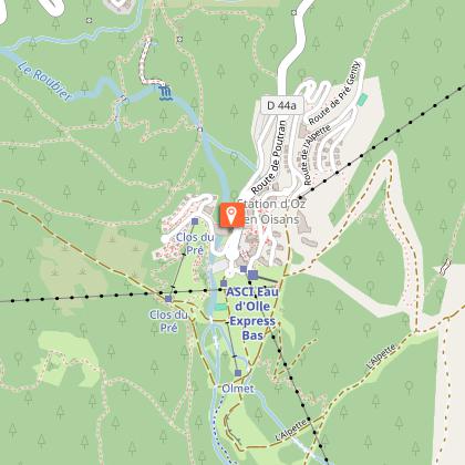
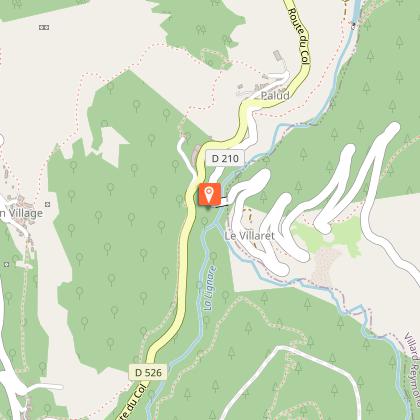
Village d'Oulles
43 m

Village d'Oulles

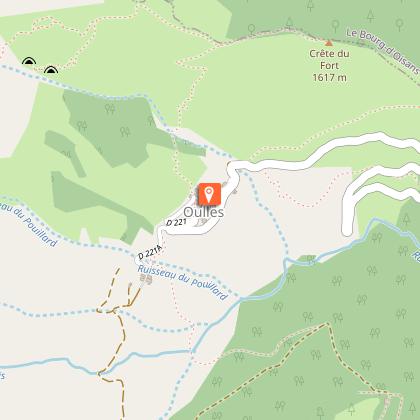
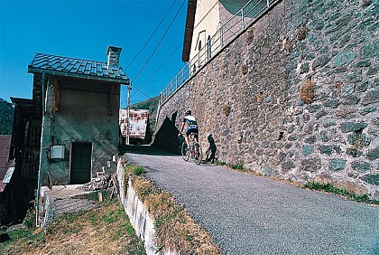
Oulles is one of the smallest villages in the Alps, with fewer than a dozen year-round residents. Nestling at the top end of a valley, it offers breathtaking views over the Grandes Rousses, the Meije and the Barre des Ecrins. If you climb a little higher above the village, you will be rewarded with an even greater view. Located at an altitude of 1400 m on the Massif du Taillefer, Oulles Is the least populated village in Isère. The road leading up to the village is a sign of the sheer steepness of the surrounding mountains. Locals even say that it is so steep around Oulles that the inhabitants used to shoe their chickens! But it all adds to the charm of the village. Oulles has only been accessible to vehicles via this road cut into the rockface since 1963. Immense effort was required to claw back these 7 kilometres of switchbacks from the mountainside - a miracle to create a path out of such a steep mountainside. All this gives you an idea of this incredible road that leads to the little village of Oulles, intact and with unspoilt charm, looming out of the past… (The road is narrow and winding, so drive carefully). A wide range of mountain activities can be enjoyed in Oulles. Cycling, for example, up the 7 km of switchbacks, although the climb is very pleasant on this wooded mountainside, protected from the wind. Hiking with the family on the path to Ornon or slightly more challenging hiking up to the Taillefer mountain hut, as well as the Grand Galbert, Lac du Poursollet, the summit of the Taillefer, Lac Fourchu, Puy d'Oulles and others. All this can also be explored and enjoyed in winter on snow shoes and ski touring. Last but not least, a mountain biking path starts from the village on the Chemin de Malaine, although it is suited to experienced mountain bikers, as there are 84 switchbacks over the 680 m descent! For more information if the 'Mairie' is closed, please contact the Bourg-d'Oisans tourist office.

38520 Oulles
Show

Where to eat in Oulles

See more suggestions
Establishments in Oulles offer dishes for all tastes.
See more suggestions
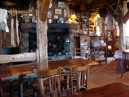
Where to sleep in Oulles

See more suggestions
Choose from a variety of lodgings in Oulles.
See more suggestions
Le Chamois - Guesthouse
7.4 km

Le Chamois - Guesthouse

Located at the top of a pass at 1371m above sea level, natural border between Oisans and Matheysine, surrounded by massifs renowned for their wild and majestic character, this large chalet in wood cladding will offer you all the comfort for an unforgettable stay . Le Chamois offers overnight stays, multi-night stays, or weekly bookings, with half board or full board options. The entire lodge can also be rented for exclusive use (self-management), for weekends or full weeks: - Self-management available year-round - Meals available only during summer and winter seasons Inside, the lodge proposes 7 bedrooms and 6 bathrooms, comfortably accommodating up to 25 guests. The cozy living room, with its warm mountain-style decor, large windows opening onto nature, a wood-burning stove, and a spacious professional kitchen, creates the perfect setting for memorable, convivial moments. Outside, you'll find a large upper terrace facing west, with a stunning view of Le Pic de l’Armet, and a garden terrace facing south, overlooking the Écrins mountains, an ideal place to unwind and take in the vibrant seasonal colors, relax in a chair under the sun, play pétanque, or gather around the XXL barbecue with friends and family. Everything is set up to help you relax and enjoy your favorite outdoor activities: - Secure ski storage - Bike garage - Private parking, leave the car and enjoy your vacation! Free amenities include: - Indoor games, library, table football (foosball) - Pétanque court in the garden - Orienteering course (maps available at the lodge) - Hiking trails for all levels starting directly from the lodge In winter: enjoy ski touring, cross-country skiing, or downhill skiing. Marked snowshoe trails also start nearby.

6810 route du Grand Armet Col d'Ornon 38740 Chantelouve
Show
Refuge des Sources (non garded hut)
9.7 km

Refuge des Sources (non garded hut)

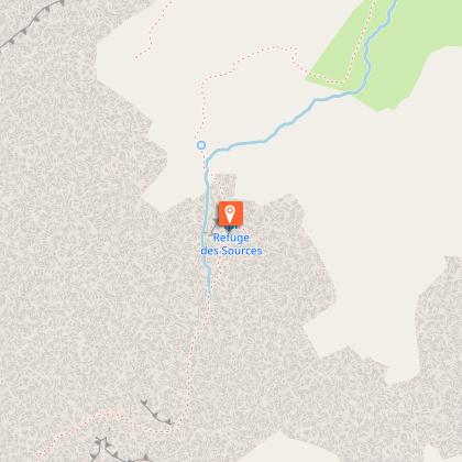
Located at 2,268 m, this small unguarded refuge with no water, electricity or toilet is a call to adventure! Facing due south, it is located in the Écrins National Park, on the path leading to the Rochail summit. PRESENTATION Perched at an altitude of 2,268 meters, the Refuge des Sources is a small, unguarded 20 m² hut nestled in the Ecrins National Park, in the commune of Villard-Notre-Dame. Approximately 3 hours' walk from the village, it overlooks the Vallon torrent and offers a breathtaking view of the Oisans. This communal refuge, with its rustic authenticity, is an ideal stopover for backpackers or mountain lovers in search of adventure. CAPACITY AND FACILITIES Rustic in character, this small communal hut offers the most rudimentary comforts. It comprises 6 mattresses, blankets, a table and benches. Capacity: 6 people Equipment available: 6 mattresses with blankets, a table, benches and stools, basic kitchen utensils. NO RUNNING WATER, ELECTRICITY OR TOILETS Note: the wood-burning stove is out of order and the use of fire is strictly forbidden inside. A guestbook is at your disposal. You can write about your race, your night, your experience! ACCESS Access to the refuge des Sources is on foot only. Length of ascent from Villard-Notre-Dame: approx. 3 h (allow 4 h with a loaded rucksack) Ascent from Villard-Notre-Dame: approx. 800 m Type of trail: typical Oisans mountain trail, with no switchbacks, requiring good physical condition. BOOKING ESSENTIAL: refugedessources.jimdofree.com/réservation/

38520 Villard-Notre-Dame
Show
Refuge de la Pra
10 km

Refuge de la Pra

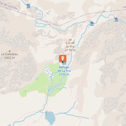
At 2100 meters, the refuge of La Pra, close to the many clear lakes of the Massif Belledonne, will delight anglers, hikers and families. La Pra is also a wonderful pasture where you can encounter marmots, wild sheep and ibex. The refuge is a stopover on the GR 738 from Chamrousse. The surrounding peaks are often accessible in summer, either on footpaths or "off-track" for those who prefer less frequented areas (Vaudaine, Doménon, Croix de Belledonne sectors), as soon as the snow has disappeared. You are entering a Natura 2000 protected area where swimming in rivers and lakes is strictly prohibited. From the Pré Raymond parking lot, take the forest road, then a path to the left (south-east). A few hairpin bends bring you to an almost level path leading out of the forest. Cross the stream before reaching the dam and Lac du Crozet. Follow the path along the lake and up the Vallon de Mercier to the Col de la Pra. At the col, turn right (south) and descend to the refuge, 5 minutes from the col de la Pra. From Chamrousse, from the parking lot at the foot of the Grande Aiguille, follow the GR de Pays, then pass between the lakes (GR 738). Climb slightly before descending into the combe de l'Echaillon. Turn left onto the path leading to the Oursière waterfalls, then right onto the path leading to Lac David. Climb up to Lac Léama, then on to Lac Longet and Lac Claret. Climb up to the refuge. From the Recoin de Chamrousse, take the GR 738 to Lac Robert. Then follow the same route as the Croix de Chamrousse.

38420 Revel
Book from 0 €Book
Show
Caution!
We have no information on the difficulty of this circuit. You may encounter some surprises along the way. Before you go, please feel free to inquire more and take all necessary precautions. Have a good trip! 🌳🥾