Tours
Activities
Places of interest
Where to eat
Where to sleep
Discover charm and nature in Pourcharesses, Lozère, Languedoc-Roussillon
Are you in charge of the destination?Tucked away between mountains and rivers, Pourcharesses in Lozère, Languedoc-Roussillon is a true gem for nature and history enthusiasts. Surrounded by breathtaking landscapes, the town offers a multitude of activities for exploring the region. Just a few kilometers away, Lake Villefort is a prime spot for water sports enthusiasts, offering sailing and paddleboarding. For hikers, the GR 700, also ...See more
Walking around Pourcharesses
See more suggestionsEnjoy pleasant walks in Pourcharesses.
See more suggestions
")


")

")

What to do in Pourcharesses
See more suggestionsActivities for all tastes await you in Pourcharesses, book them today.
See more suggestions


IGN cards
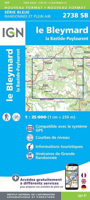
2738SB - LE BLEYMARD LA BASTIDE-PULAURENT
Editor : IGN
Collection : TOP 25 ET SÉRIE BLEUE
Scale : 1:25 000
13.90€

2838OT - LARGENTIÈRE LA BASTIDE-PUYLAURENT VIVARAIS CÉVENOL
Editor : IGN
Collection : TOP 25 ET SÉRIE BLEUE
Scale : 1:25 000
13.90€
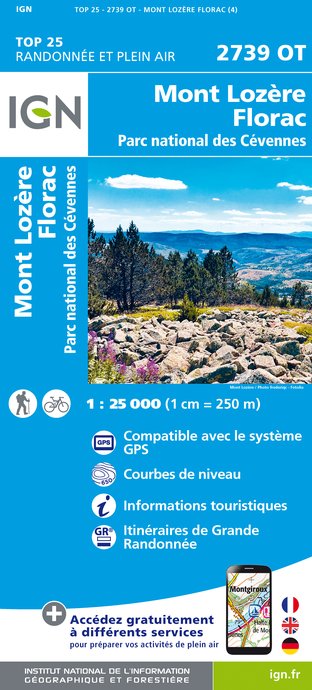
2739OT - MONT LOZÈRE FLORAC PARC NATIONAL DES CÉVENNES
Editor : IGN
Collection : TOP 25 ET SÉRIE BLEUE
Scale : 1:25 000
13.90€
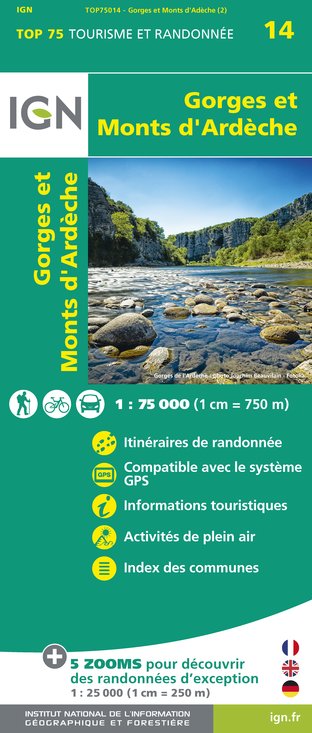
TOP75014 - GORGES ET MONTS D'ARDÈCHE
Editor : IGN
Collection : TOP 75
Scale : 1:75 000
9.80€

TOP100D07 - ARDÈCHE PRIVAS AUBENAS VALLON-PONT-D'ARC PNR DES MONTS D'ARDÈCHE
Editor : IGN
Collection : TOP 100
Scale : 1:100 000
8.40€

TOP100D48 - LOZÈRE MENDE FLORAC-TROIS-RIVIÈRES PARC NATIONAL DES CÉVENNES GORGES DU TARN ET DE LA JONTE
Editor : IGN
Collection : TOP 100
Scale : 1:100 000
8.40€

TOP100D30 - GARD NÎMES ALÈS PONT DU GARD AIGUES-MORTES PETITE CAMARGUE
Editor : IGN
Collection : TOP 100
Scale : 1:100 000
8.40€
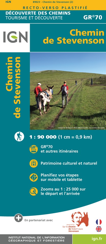
89023 - CHEMIN DE STEVENSON - GR70®
Editor : IGN
Collection : DECOUVERTE DES CHEMINS
Scale : 1:90 000
9.10€

83501 - PARC NATIONAL DES CÉVENNES
Editor : IGN
Collection : DÉCOUVERTE DES PARCS
Scale : 1:50 000
9.00€

D30-34 GARD HÉRAULT
Editor : IGN
Collection : CARTES DÉPARTEMENTALES IGN
Scale : 1:150 000
5.90€

D07-26 ARDÈCHE DRÔME
Editor : IGN
Collection : CARTES DÉPARTEMENTALES IGN
Scale : 1:150 000
5.90€

D12-48 AVEYRON LOZÈRE
Editor : IGN
Collection : CARTES DÉPARTEMENTALES IGN
Scale : 1:150 000
5.90€

EUROPE
Editor : IGN
Collection : DÉCOUVERTE DES PAYS DU MONDE IGN
Scale : 1:2 500 000
7.00€
What to visit in Pourcharesses
See more suggestionsEngage in outdoor activities in Pourcharesses.
See more suggestions


Where to eat in Pourcharesses
See more suggestionsThe restaurants of Pourcharesses await you.
See more suggestions


Where to sleep in Pourcharesses
See more suggestionsChoose a comfortable accommodation in Pourcharesses.
See more suggestions


