Alert
Alerts
Bournaves
Description
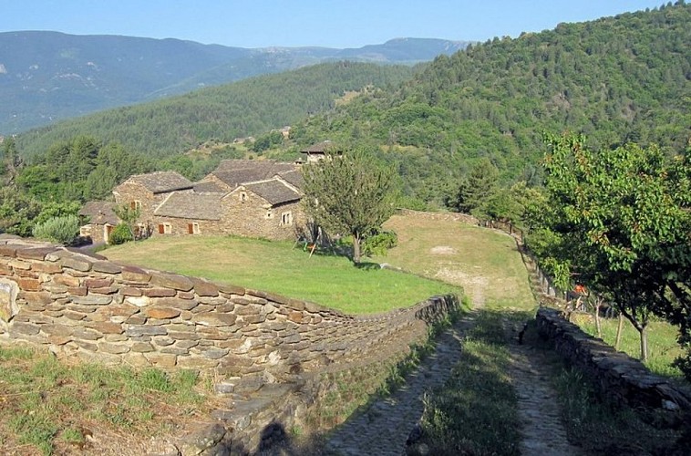
The tranquil landscape of the upper Cèze valley alternates between coniferous woods planted in the 19th century and open meadows.
Signposts will guide you all along this route, as well as yellow painted waymarks. In the description below, the signposted place names and/or directions are given in bold italics between quotation marks :
Starting at “PONTEILS ET BRÉSIS”, walk to “BOURNAVES” via :
“Les Arnals”,
At “BOURNAVES”, return to “PONTEILS ET BRÉSIS” via :
“Chabottes”,
“Ponteils”.
This hike is taken from the guidebook Mont Lozère – Pays des sources, Sommet des Cévennes, published by the Pôle de pleine nature du Mont Lozère.
Technical Information
Altimetric profile
Starting point
Additional information
Advised parking
Car park at the Mairie (town hall)
Advice
Make sure your equipment is appropriate for the day’s weather conditions. Remember that the weather changes quickly in the mountains. Take enough water, wear sturdy shoes and put on a hat.
Access
From Villefort, on the D51 (17 mins) From Génolhac, on the D906, D155 and D51 (19 mins)
Ambiance
Les forêts de résineux plantées au XIXe siècle et les prairies dégagées alternent dans ce paysage paisible de la haute vallée de la Cèze.
Arrival
Ponteils-et-Brésis
Departure
Ponteils-et-Brésis
Data author
