Alert
Alerts
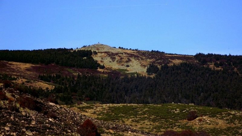
Pic Cassini


Description
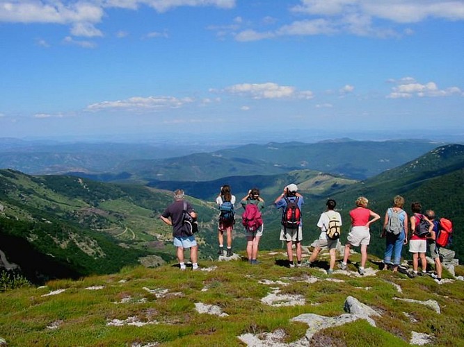
Ce parcours rejoint le deuxième plus haut sommet de la Lozère: le pic Cassini (1680m). Vue panoramique à 360° sur le mont Lozère, portant jusqu'au littoral et jusqu'aux Alpes.
From the car park, take the large path heading due north into the beech forest. The path climbs gradually and enters a forest of creeping pines before arriving at the Col de l'Aigle pass. From the pass, continue due west on the track and then a stony path to reach the peak of Pic Cassini. From the summit, go back down to the Col de l'Aigle by the same route, and then take the path on the left that runs parallel the ridge and forms the limit between the cantons of Villefort and Le-Pont-de-Montvert. Go over a small grassy pass sprinkled with gentian flowers and, in the hairpin bend, go downhill on the track on the right. Walk through the beech forest, then the firs. In the hairpin bend, take the track again all the way down to Mas de la Barque.
Technical Information
Altimetric profile
Starting point
Points of interest
Additional information
Departure
Mas de la Barque
Arrival
Mas de la Barque
Ambiance
From Mas de La Barque, this path takes you to the second-highest summit in Lozère, Pic Cassini (1,680 m). It offers panoramic 360° views over Mont Lozère and all the way to the coast – and sometimes as far as the Alpes !
Access
From Génolhac take the D 362 road, from Villefort the D 66, to Mas de la Barque
Accessibility infrastructure
Aucun
Advised parking
Mas de la Barque
Public transport
Aucun
Advice
This walk is not suitable for foggy weather. Mountain-biking is prohibited between the Col de l'Aigle pass and Pic Cassini. Make sure your equipment is appropriate for the day's weather conditions. Remember that the weather changes quickly in the mountains. Take enough water, wear good shoes and put on a hat.
Is in the midst of the park
The national park is an unrestricted natural area but subjected to regulations which must be known by all visitors.
Data author
