Tours
Activities
Places of interest
Where to eat
Where to sleep
Marchastel, Lozère, Languedoc-Roussillon
Are you in charge of the destination?Discover Marchastel, a charming commune nestled in the heart of Lozère, in the Languedoc-Roussillon region. Surrounded by breathtaking landscapes, Marchastel offers an authentic immersion in nature with its lush hills and crystal-clear rivers. Stroll through its picturesque streets, where every stone tells a story steeped in tradition. Don’t miss the majestic Marchastel castle that dominates the v...See more


What to do in Marchastel
See more suggestionsFind bookable activities in Marchastel for an unforgettable experience.
See more suggestions


IGN cards
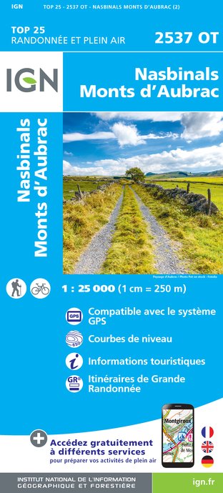
2537OT - NASBINALS MONTS D'AUBRAC
Editor : IGN
Collection : TOP 25 ET SÉRIE BLEUE
Scale : 1:25 000
13.90€

TOP100D48 - LOZÈRE MENDE FLORAC-TROIS-RIVIÈRES PARC NATIONAL DES CÉVENNES GORGES DU TARN ET DE LA JONTE
Editor : IGN
Collection : TOP 100
Scale : 1:100 000
8.40€

155 AURILLAC SAINT-FLOUR PNR DES VOLCANS D'AUVERGNE
Editor : IGN
Collection : TOP 100
Scale : 1:100 000
8.40€

TOP100D43 - HAUTE-LOIRE LE PUY-EN-VELAY BRIOUDE GORGES DE L'ALLIER
Editor : IGN
Collection : TOP 100
Scale : 1:100 000
8.40€

D12-48 AVEYRON LOZÈRE
Editor : IGN
Collection : CARTES DÉPARTEMENTALES IGN
Scale : 1:150 000
5.90€

D15-19 CANTAL CORREZE
Editor : IGN
Collection : CARTES DÉPARTEMENTALES IGN
Scale : 1:150 000
5.90€

EUROPE
Editor : IGN
Collection : DÉCOUVERTE DES PAYS DU MONDE IGN
Scale : 1:2 500 000
7.00€
What to visit in Marchastel
See more suggestionsDiscover the local markets of Marchastel.
See more suggestions


Where to eat in Marchastel
See more suggestionsSavor culinary specialties in Marchastel.
See more suggestions


Where to sleep in Marchastel
See more suggestionsDiscover available accommodations around Marchastel.
See more suggestions

