Tours
Activities
Places of interest
Where to eat
Where to sleep
Discover Saint-Sauveur-la-Sagne: Auvergne's Hidden Gem
Are you in charge of the destination?Nestled in the heart of Puy-de-Dôme, Auvergne, Saint-Sauveur-la-Sagne is an ideal destination for nature and tranquility enthusiasts. The village is surrounded by lush landscapes and rolling hills, perfect for hiking and mountain biking. Take the time to explore the region’s trails and discover the rich local flora and fauna. Nearby, the Livradois-Forez Regional Natural Park offers a protected are...See more
Walking around Saint-sauveur-la-sagne
See more suggestionsHikes for all levels in Saint-sauveur-la-sagne.
See more suggestions


What to do in Saint-sauveur-la-sagne
See more suggestionsMake your stay in Saint-sauveur-la-sagne special by booking activities.
See more suggestions


IGN cards
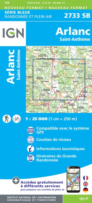
2733SB - ARLANC SAINT-ANTHÈME
Editor : IGN
Collection : TOP 25 ET SÉRIE BLEUE
Scale : 1:25 000
13.90€
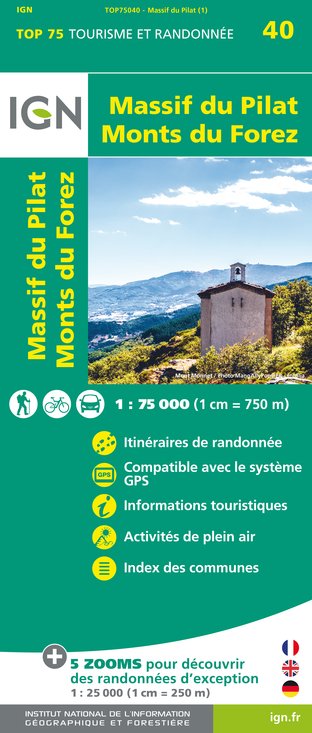
TOP75040 - MASSIF DU PILAT MONTS DU FOREZ
Editor : IGN
Collection : TOP 75
Scale : 1:75 000
9.80€

TOP100D43 - HAUTE-LOIRE LE PUY-EN-VELAY BRIOUDE GORGES DE L'ALLIER
Editor : IGN
Collection : TOP 100
Scale : 1:100 000
8.40€
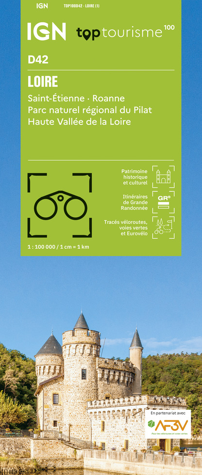
TOP100D42 - LOIRE SAINT-ÉTIENNE ROANNE PARC NATUREL RÉGIONAL DU PILAT HAUTE VALLÉE DE LA LOIRE
Editor : IGN
Collection : TOP 100
Scale : 1:100 000
8.40€

D07-26 ARDÈCHE DRÔME
Editor : IGN
Collection : CARTES DÉPARTEMENTALES IGN
Scale : 1:150 000
5.90€

D42-43 LOIRE HAUTE-LOIRE
Editor : IGN
Collection : CARTES DÉPARTEMENTALES IGN
Scale : 1:150 000
5.90€

D03-63 ALLIER PUY-DE-DÔME
Editor : IGN
Collection : CARTES DÉPARTEMENTALES IGN
Scale : 1:150 000
5.90€

EUROPE
Editor : IGN
Collection : DÉCOUVERTE DES PAYS DU MONDE IGN
Scale : 1:2 500 000
7.00€
What to visit in Saint-sauveur-la-sagne
See more suggestionsVisit the iconic landmarks of Saint-sauveur-la-sagne.
See more suggestions


Where to eat in Saint-sauveur-la-sagne
See more suggestionsRestaurants in Saint-sauveur-la-sagne offer a friendly atmosphere.
See more suggestions


Where to sleep in Saint-sauveur-la-sagne
See more suggestionsBook a quality accommodation in Saint-sauveur-la-sagne.
See more suggestions


