Tours
Activities
Places of interest
Where to eat
Where to sleep
Discover Miramas, Bouches-du-Rhône, Provence-Alpes-Côte d'Azur
Are you in charge of the destination?Welcome to Miramas, Bouches-du-Rhône, Provence-Alpes-Côte d'Azur, a charming destination where culture and nature blend harmoniously. Stroll through this historic city and explore the Parc de la Poudrerie, a serene natural setting perfect for leisurely walks. History enthusiasts will enjoy the nearby Miramas-le-Vieux village with its cobbled streets and stone houses, transporting visitors to anoth...See more


What to do in Miramas
See more suggestionsExplore Miramas through its many bookable activities.
See more suggestions


IGN cards
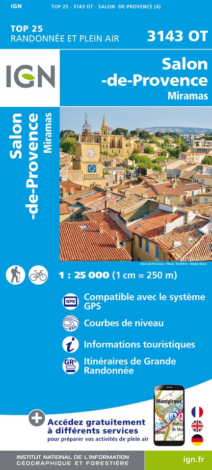
3143OT - SALON-DE-PROVENCE MIRAMAS
Editor : IGN
Collection : TOP 25 ET SÉRIE BLEUE
Scale : 1:25 000
13.90€

TOP75033 - CAMARGUE ALPILLES
Editor : IGN
Collection : TOP 75
Scale : 1:75 000
9.80€

VEL03 - LE VAUCLUSE A VÉLO
Editor : IGN
Collection : DECOUVERTE A VELO
Scale : 1:100 000
9.10€

TOP100D13 - BOUCHES-DU-RHÔNE MARSEILLE AIX-EN-PROVENCE PARC NATIONAL DES CALANQUES PNR DES ALPILLES ET DE CAMARGUE
Editor : IGN
Collection : TOP 100
Scale : 1:100 000
8.40€

D13-84 BOUCHES-DU-RHÔNE VAUCLUSE
Editor : IGN
Collection : CARTES DÉPARTEMENTALES IGN
Scale : 1:150 000
5.90€

NR16 PROVENCE-ALPES-CÔTE D'AZUR
Editor : IGN
Collection : CARTES RÉGIONALES IGN
Scale : 1:250 000
6.80€

EUROPE
Editor : IGN
Collection : DÉCOUVERTE DES PAYS DU MONDE IGN
Scale : 1:2 500 000
7.00€
What to visit in Miramas
See more suggestionsVisit the historical sites of Miramas.
See more suggestions


Where to eat in Miramas
See more suggestionsThe restaurants of Miramas await you.
See more suggestions


Where to sleep in Miramas
See more suggestionsFind a comfortable stay in Miramas.
See more suggestions


