Tours
Activities
Places of interest
Where to eat
Where to sleep
Discover Saint-martin-de-valamas at Camping La Teyre
Are you the owner?Welcome to Camping La Teyre, located in Saint-martin-de-valamas, in the heart of the Ardèche in Rhône-Alpes. Enjoy the natural and cultural treasures this exceptional region offers.
Take some time to discover Mont Gerbier de Jonc, the source of the Loire, which offers a breathtaking panoramic view. Hiking enthusiasts will love exploring the Monts d'Ardèche Regional Nature Park with its diverse...See more
Take some time to discover Mont Gerbier de Jonc, the source of the Loire, which offers a breathtaking panoramic view. Hiking enthusiasts will love exploring the Monts d'Ardèche Regional Nature Park with its diverse...See more
Walking around CAMPING LA TEYRE
See more suggestionsExplore the hiking trails around CAMPING LA TEYRE.
See more suggestions


What to do in CAMPING LA TEYRE
See more suggestionsEnjoy the activities available in CAMPING LA TEYRE for moments of relaxation and fun.
See more suggestions


IGN cards
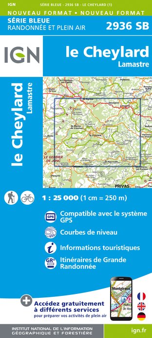
2936SB - LE CHEYLARD LAMASTRE
Editor : IGN
Collection : TOP 25 ET SÉRIE BLEUE
Scale : 1:25 000
13.90€
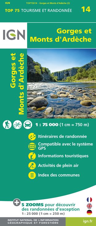
TOP75014 - GORGES ET MONTS D'ARDÈCHE
Editor : IGN
Collection : TOP 75
Scale : 1:75 000
9.80€

TOP100D43 - HAUTE-LOIRE LE PUY-EN-VELAY BRIOUDE GORGES DE L'ALLIER
Editor : IGN
Collection : TOP 100
Scale : 1:100 000
8.40€

TOP100D07 - ARDÈCHE PRIVAS AUBENAS VALLON-PONT-D'ARC PNR DES MONTS D'ARDÈCHE
Editor : IGN
Collection : TOP 100
Scale : 1:100 000
8.40€

D07-26 ARDÈCHE DRÔME
Editor : IGN
Collection : CARTES DÉPARTEMENTALES IGN
Scale : 1:150 000
5.90€

D42-43 LOIRE HAUTE-LOIRE
Editor : IGN
Collection : CARTES DÉPARTEMENTALES IGN
Scale : 1:150 000
5.90€

NR16 PROVENCE-ALPES-CÔTE D'AZUR
Editor : IGN
Collection : CARTES RÉGIONALES IGN
Scale : 1:250 000
6.80€

EUROPE
Editor : IGN
Collection : DÉCOUVERTE DES PAYS DU MONDE IGN
Scale : 1:2 500 000
7.00€
What to visit in CAMPING LA TEYRE
See more suggestionsLearn the history of CAMPING LA TEYRE through its museums.
See more suggestions


Where to eat in CAMPING LA TEYRE
See more suggestionsExplore the best dining spots in CAMPING LA TEYRE.
See more suggestions


Where to sleep in CAMPING LA TEYRE
See more suggestionsStay in unique accommodations in CAMPING LA TEYRE.
See more suggestions


