Tours
Activities
Places of interest
Where to eat
Where to sleep
Discover Local Gems with CAMPING LES RIVES D AUZON
Are you the owner?Welcome to CAMPING LES RIVES D AUZON, the ideal starting point to explore the wonders of Lavilledieu and its surroundings in Ardèche, Rhône-Alpes. Be amazed by the spectacular Gorges de l'Ardèche, perfect for hiking and canoeing. Immerse yourself in history by visiting the iconic Pont d'Arc, a natural arch, or explore the renowned Caverne du Pont d'Arc, a replica of the Chauvet Cave, for a prehist...See more
Walking around CAMPING LES RIVES D AUZON
See more suggestionsFamily walks around CAMPING LES RIVES D AUZON.
See more suggestions


What to do in CAMPING LES RIVES D AUZON
See more suggestionsMake your stay in CAMPING LES RIVES D AUZON special by booking activities.
See more suggestions


IGN cards
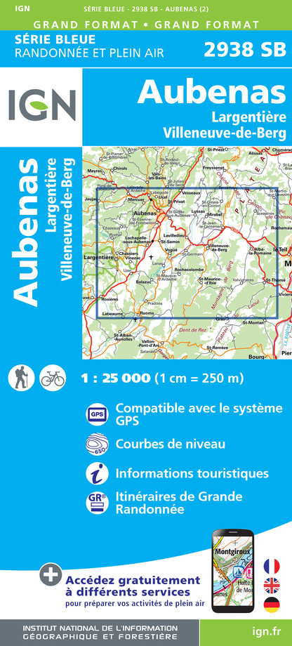
2938SB - AUBENAS L'ARGENTIERE - VILLENEUVE-DE-BERG
Editor : IGN
Collection : TOP 25 ET SÉRIE BLEUE
Scale : 1:25 000
13.90€
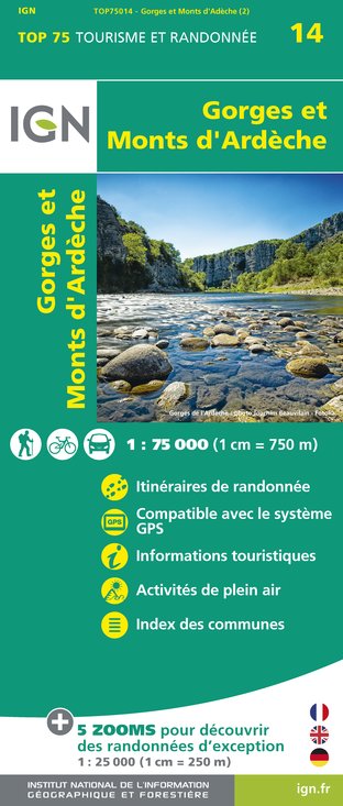
TOP75014 - GORGES ET MONTS D'ARDÈCHE
Editor : IGN
Collection : TOP 75
Scale : 1:75 000
9.80€

TOP100D07 - ARDÈCHE PRIVAS AUBENAS VALLON-PONT-D'ARC PNR DES MONTS D'ARDÈCHE
Editor : IGN
Collection : TOP 100
Scale : 1:100 000
8.40€

D07-26 ARDÈCHE DRÔME
Editor : IGN
Collection : CARTES DÉPARTEMENTALES IGN
Scale : 1:150 000
5.90€

NR16 PROVENCE-ALPES-CÔTE D'AZUR
Editor : IGN
Collection : CARTES RÉGIONALES IGN
Scale : 1:250 000
6.80€

EUROPE
Editor : IGN
Collection : DÉCOUVERTE DES PAYS DU MONDE IGN
Scale : 1:2 500 000
7.00€
What to visit in CAMPING LES RIVES D AUZON
See more suggestionsExplore the cultural heritage of CAMPING LES RIVES D AUZON.
See more suggestions


Where to eat in CAMPING LES RIVES D AUZON
See more suggestionsEnjoy delicious dishes at CAMPING LES RIVES D AUZON's restaurants.
See more suggestions


Where to sleep in CAMPING LES RIVES D AUZON
See more suggestionsStay at one of the many hotels in CAMPING LES RIVES D AUZON.
See more suggestions


