Tours
Activities
Places of interest
Where to eat
Where to sleep
Discover Saint-Nazaire-le-Désert, Drôme, Rhône-Alpes
Are you in charge of the destination?Welcome to Saint-Nazaire-le-Désert, nestled in the heart of the Drôme in the Rhône-Alpes region. This charming village is surrounded by stunning landscapes and offers a multitude of activities for nature and culture enthusiasts. Explore the hiking trails that wind through mountains and valleys, where you can admire the local flora and fauna. Make a detour to the Gorges de la Roanne, a natural site...See more
Walking around Saint-nazaire-le-desert
See more suggestionsFamily walks around Saint-nazaire-le-desert.
See more suggestions


")


What to do in Saint-nazaire-le-desert
See more suggestionsPlan your leisure time in Saint-nazaire-le-desert by booking activities that suit your preferences.
See more suggestions


IGN cards
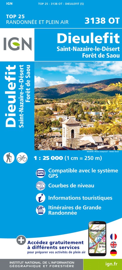
3138OT - DIEULEFIT
Editor : IGN
Collection : TOP 25 ET SÉRIE BLEUE
Scale : 1:25 000
13.90€

VEL01 - LA DRÔME A VELO
Editor : IGN
Collection : DECOUVERTE A VELO
Scale : 1:105 000
9.10€

TOP100D26 - DRÔME VALENCE MONTÉLIMAR DIE PNR DES BARONNIES PROVENÇALES PNR DU VERCORS
Editor : IGN
Collection : TOP 100
Scale : 1:100 000
8.40€

D07-26 ARDÈCHE DRÔME
Editor : IGN
Collection : CARTES DÉPARTEMENTALES IGN
Scale : 1:150 000
5.90€

D38 ISÈRE
Editor : IGN
Collection : CARTES DÉPARTEMENTALES IGN
Scale : 1:150 000
5.90€

D04-05 ALPES-DE-HAUTE-PROVENCE HAUTES-ALPES
Editor : IGN
Collection : CARTES DÉPARTEMENTALES IGN
Scale : 1:150 000
5.90€

NR16 PROVENCE-ALPES-CÔTE D'AZUR
Editor : IGN
Collection : CARTES RÉGIONALES IGN
Scale : 1:250 000
6.80€

NR14 AUVERGNE-RHÔNE-ALPES RECTO/VERSO MASSIF CENTRAL
Editor : IGN
Collection : CARTES RÉGIONALES IGN
Scale : 1:250 000
6.80€

NR15 AUVERGNE-RHÔNE-ALPES RECTO/VERSO MASSIF ALPIN
Editor : IGN
Collection : CARTES RÉGIONALES IGN
Scale : 1:250 000
6.80€

EUROPE
Editor : IGN
Collection : DÉCOUVERTE DES PAYS DU MONDE IGN
Scale : 1:2 500 000
7.00€
What to visit in Saint-nazaire-le-desert
See more suggestionsShop in the boutiques of Saint-nazaire-le-desert.
See more suggestions


Where to eat in Saint-nazaire-le-desert
See more suggestionsEnjoy delicious dishes at Saint-nazaire-le-desert's restaurants.
See more suggestions


Where to sleep in Saint-nazaire-le-desert
See more suggestionsFind the perfect lodging for your visit to Saint-nazaire-le-desert.
See more suggestions


