Alert
Alerts
Le Fourchat


Description
A pleasant round-trip hike along a forest trail to the summit of Fourchat. Rising to an elevation of 1,571 meters, this peak offers a 360-degree panoramic view of the Baronnies Provençales.
At the Col de Pommerol, take the trail on the right as you approach from Rosans.
After 1.5 km, the trail narrows and follows the ridge to the summit.
Once at the summit, you can continue along the ridge. Return to the starting point via the same route.
Technical Information
Altimetric profile
Starting point
Additional information
Public transport
Think about public transport and carpooling: zou.maregionsud.fr
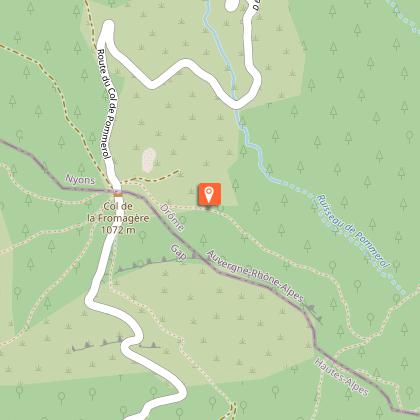
Advised parking
Parking lot, Pommerol Pass
Access
From Rosans, take the D 25 road to Pommerol Pass
Arrival
Pommerol pass, Rosans
Departure
Pommerol pass, Rosans
Data author
