Tours
Activities
Places of interest
Where to eat
Where to sleep
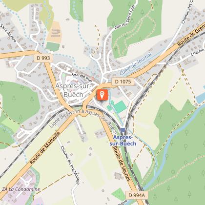
Discover CAMPING LE CHEVALET in Aspres-sur-Buech
Are you the owner?Located in the heart of Aspres-sur-Buech, in the Hautes-Alpes, CAMPING LE CHEVALET is the perfect base to explore the natural and cultural riches of the Provence-Alpes-Côte d'Azur region. Begin your adventure with a hike on the trails of the Baronnies Provençales Regional Natural Park, where breathtaking landscapes and diverse wildlife await you. For cycling enthusiasts, the cycle touring routes a...See more
Walking around CAMPING LE CHEVALET
See more suggestionsExplore the parks and paths of CAMPING LE CHEVALET.
See more suggestionsWhat to do in CAMPING LE CHEVALET
See more suggestionsFind the best activities in CAMPING LE CHEVALET and book easily online.
See more suggestionsIGN cards

3338OT - SERRES - VEYNES HAUT BUËCH BOCHAINE
Editor : IGN
Collection : TOP 25 ET SÉRIE BLEUE
Scale : 1:25 000
13.90€

TOP75009 - DIOIS DEVOLUY HAUTE VALLEE DE LA DROME
Editor : IGN
Collection : TOP 75
Scale : 1:75 000
9.80€
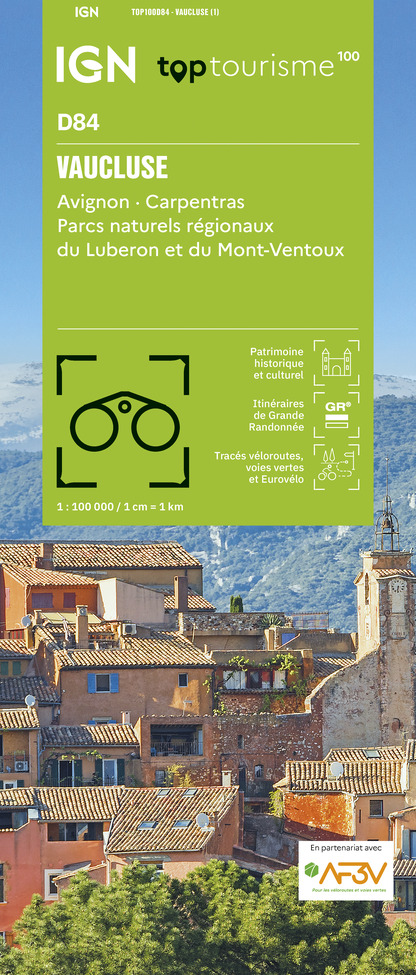
TOP100D84 - VAUCLUSE AVIGNON CARPENTRAS PARCS NATURELS RÉGIONAUX DU LUBERON ET DU MONT-VENTOUX
Editor : IGN
Collection : TOP 100
Scale : 1:100 000
8.40€

TOP100D26 - DRÔME VALENCE MONTÉLIMAR DIE PNR DES BARONNIES PROVENÇALES PNR DU VERCORS
Editor : IGN
Collection : TOP 100
Scale : 1:100 000
8.40€

D04-05 ALPES-DE-HAUTE-PROVENCE HAUTES-ALPES
Editor : IGN
Collection : CARTES DÉPARTEMENTALES IGN
Scale : 1:150 000
5.90€

D07-26 ARDÈCHE DRÔME
Editor : IGN
Collection : CARTES DÉPARTEMENTALES IGN
Scale : 1:150 000
5.90€

NR14 AUVERGNE-RHÔNE-ALPES RECTO/VERSO MASSIF CENTRAL
Editor : IGN
Collection : CARTES RÉGIONALES IGN
Scale : 1:250 000
6.80€

NR16 PROVENCE-ALPES-CÔTE D'AZUR
Editor : IGN
Collection : CARTES RÉGIONALES IGN
Scale : 1:250 000
6.80€

NR15 AUVERGNE-RHÔNE-ALPES RECTO/VERSO MASSIF ALPIN
Editor : IGN
Collection : CARTES RÉGIONALES IGN
Scale : 1:250 000
6.80€

EUROPE
Editor : IGN
Collection : DÉCOUVERTE DES PAYS DU MONDE IGN
Scale : 1:2 500 000
7.00€
What to visit in CAMPING LE CHEVALET
See more suggestionsTake a boat tour around CAMPING LE CHEVALET.
See more suggestionsWhere to eat in CAMPING LE CHEVALET
See more suggestionsRestaurants in CAMPING LE CHEVALET will captivate you.
See more suggestionsWhere to sleep in CAMPING LE CHEVALET
See more suggestionsEnjoy our accommodation recommendations in CAMPING LE CHEVALET.
See more suggestions


