Alert
Alerts
Sentier des Moines (Monk path)


Description
Family hike to discover the historical and religious heritage of Serres. Along the way, the path passes in front of two chapels and a Hebrew tomb.
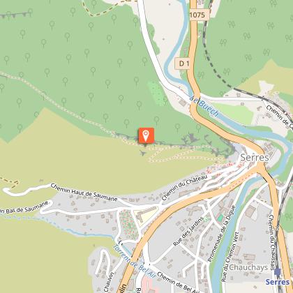
Join the fountain on the opposite side of the roundabout, in front of the Tourist Office. Go up "rue Saint-Claude" on the right, then turn left and immediately right to take the "Chemin de la Guérite". Follow then on the opposite side the "rue du Château", and further to the right, climb the stairs of the "chemin de la Chapelle", leading to the Molend tower and the chapel. Continue on the path that winds its way up under the pine trees, passing in front of the Jewish tomb.
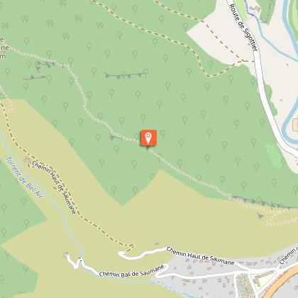
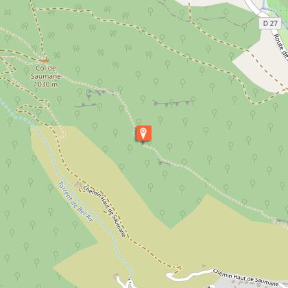
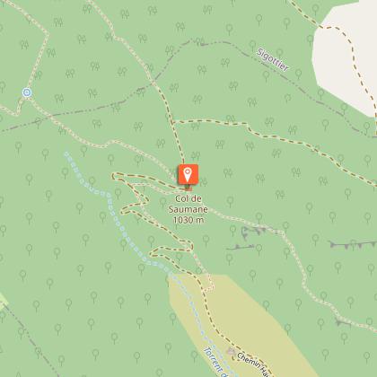
Go around the pointed rock (842 m) and continue on the ridge of Fontarache. The path follows the ridge among limestone blocks , boxwood and pubescent oaks, up to Col de Saumane (1031 m).
At the pass, turn left, direction Serres, and 10 m further on to the left, follow the path which crosses the forest track several times.
At the end of the path, continue on the left by the track and pass in front of the Chapelle de Saumane. The track turns into a tarred track and reaches Serres. Enter the village of Serres and arrive near the college ("Les Ecoles" post). Take the 2nd left to pass on the Esplanade Sainte Catherine (alongside the school). by continuing through the alleys and vaulted passages you’ll reach the Tourist Office.
Technical Information
Altimetric profile
Starting point
Points of interest
Additional information
Public transport
Let’s limit our trips and use public transportation and carpooling: zou.maregionsud.fr
Advice
After returning from the hike, it is highly recommended to visit Serres. This village bears witness to a rich past with vaulted passages (soustets) and more.
Advised parking
Tourist office parking in Serres
Access
From Laragne-Montéglin (17 km), follow the D 1075 north-west to Serres.
Arrival
Tourist office, Serres
Departure
Tourist office, Serres
Data author
