Tours
Activities
Places of interest
Where to eat
Where to sleep
Un air d'ailleurs: camping in Jarjayes, Hautes-Alpes
Are you the owner?Welcome to Jarjayes, a hidden gem in the Hautes-Alpes, located in the beautiful region of Provence-Alpes-Côte d'Azur. Staying at Un Air d'Ailleurs camping, you'll have the chance to explore a variety of outdoor activities and unique attractions. Start your adventure with a hike on the local marked trails. The surrounding mountains offer breathtaking panoramic views and routes suitable for all leve...See more
Walking around UN AIR D'AILLEURS
See more suggestionsDiscover the walking paths of UN AIR D'AILLEURS.
See more suggestions


")


What to do in UN AIR D'AILLEURS
See more suggestionsExplore UN AIR D'AILLEURS through its many bookable activities.
See more suggestions


IGN cards

3338ET - GAP MONTAGNE DE CÉÜSE
Editor : IGN
Collection : TOP 25 ET SÉRIE BLEUE
Scale : 1:25 000
13.90€
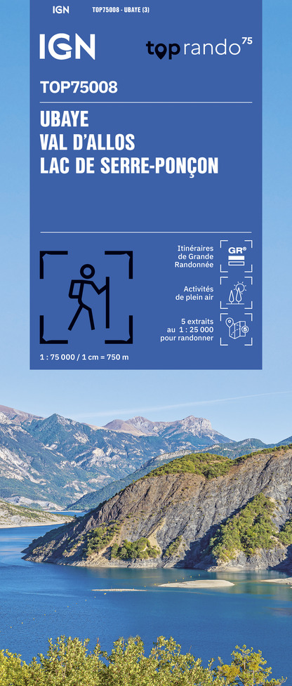
TOP75008 - UBAYE VAL D'ALLOS LAC DE SERRE-PONCON
Editor : IGN
Collection : TOP 75
Scale : 1:75 000
9.80€

TOP75006 - MASSIF DES ECRINS OISANS CHAMPSAUR
Editor : IGN
Collection : TOP 75
Scale : 1:75 000
9.80€

TOP100D04 - ALPES-DE-HAUTE-PROVENCE DIGNE MANOSQUE PNR DU VERDON LAC DE SERRE-PONÇON
Editor : IGN
Collection : TOP 100
Scale : 1:100 000
8.40€

D04-05 ALPES-DE-HAUTE-PROVENCE HAUTES-ALPES
Editor : IGN
Collection : CARTES DÉPARTEMENTALES IGN
Scale : 1:150 000
5.90€

NR15 AUVERGNE-RHÔNE-ALPES RECTO/VERSO MASSIF ALPIN
Editor : IGN
Collection : CARTES RÉGIONALES IGN
Scale : 1:250 000
6.80€

NR16 PROVENCE-ALPES-CÔTE D'AZUR
Editor : IGN
Collection : CARTES RÉGIONALES IGN
Scale : 1:250 000
6.80€

NR14 AUVERGNE-RHÔNE-ALPES RECTO/VERSO MASSIF CENTRAL
Editor : IGN
Collection : CARTES RÉGIONALES IGN
Scale : 1:250 000
6.80€

EUROPE
Editor : IGN
Collection : DÉCOUVERTE DES PAYS DU MONDE IGN
Scale : 1:2 500 000
7.00€
What to visit in UN AIR D'AILLEURS
See more suggestionsExplore the cultural heritage of UN AIR D'AILLEURS.
See more suggestions


Where to eat in UN AIR D'AILLEURS
See more suggestionsRestaurants in UN AIR D'AILLEURS will captivate you.
See more suggestions


Where to sleep in UN AIR D'AILLEURS
See more suggestionsDiscover the best lodging options in UN AIR D'AILLEURS.
See more suggestions


