Tours
Activities
Places of interest
Where to eat
Where to sleep
Explore La garde from L OASIS SARL
Are you the owner?Welcome to L OASIS SARL, your perfect starting point to discover the treasures of La garde, in the Var, Provence-Alpes-Côte d'Azur. Nestled between the sea and mountains, La garde enchants with its rich historical and natural heritage. Begin your day with a visit to the old village and its picturesque streets and 12th-century church. Nature lovers will enjoy unforgettable hikes in the Parc Naturel...See more
Walking around L OASIS SARL
See more suggestionsAccessible hikes near L OASIS SARL.
See more suggestions


What to do in L OASIS SARL
See more suggestionsEnjoy the activities available in L OASIS SARL for moments of relaxation and fun.
See more suggestions


IGN cards
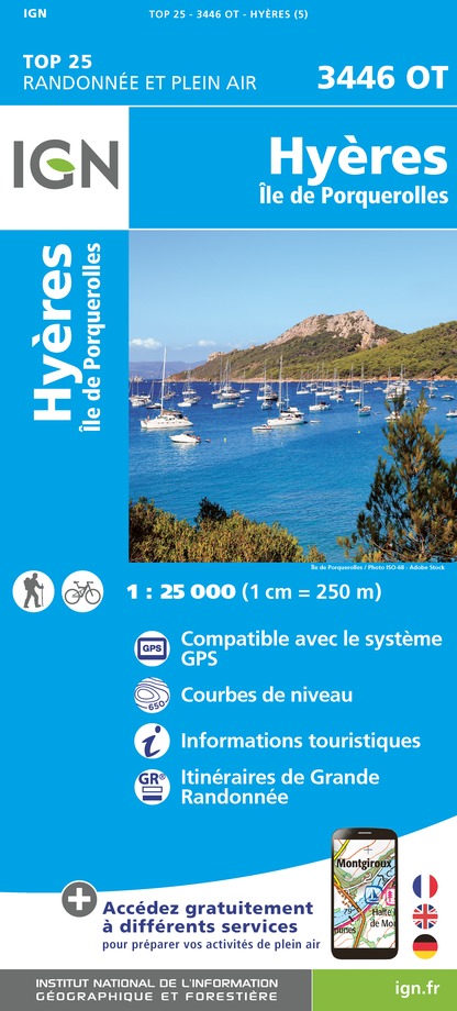
3446OT - HYERES ILE DE PORQUEROLLES
Editor : IGN
Collection : TOP 25 ET SÉRIE BLEUE
Scale : 1:25 000
13.90€

3346OT - TOULON LE GROS CERVEAU MONT-FARON
Editor : IGN
Collection : TOP 25 ET SÉRIE BLEUE
Scale : 1:25 000
13.90€

TOP75035 - PROVENCE SAINTE VICTOIRE ST BAUME CALANQUES
Editor : IGN
Collection : TOP 75
Scale : 1:75 000
9.80€

VEL06 - LE VAR A VELO
Editor : IGN
Collection : DECOUVERTE A VELO
Scale : 1:110 000
9.10€

TOP100D83 - VAR TOULON FRÉJUS MASSIFS DES MAURES ET DE L'ESTEREL PARC NATUREL RÉGIONAL DU VERDON
Editor : IGN
Collection : TOP 100
Scale : 1:100 000
8.40€

D83 VAR
Editor : IGN
Collection : CARTES DÉPARTEMENTALES IGN
Scale : 1:150 000
5.90€

D06 ALPES-MARITIMES
Editor : IGN
Collection : CARTES DÉPARTEMENTALES IGN
Scale : 1:150 000
5.90€

NR16 PROVENCE-ALPES-CÔTE D'AZUR
Editor : IGN
Collection : CARTES RÉGIONALES IGN
Scale : 1:250 000
6.80€

EUROPE
Editor : IGN
Collection : DÉCOUVERTE DES PAYS DU MONDE IGN
Scale : 1:2 500 000
7.00€
What to visit in L OASIS SARL
See more suggestionsTaste the culinary specialties of L OASIS SARL.
See more suggestions


Where to eat in L OASIS SARL
See more suggestionsExplore the culinary traditions of L OASIS SARL.
See more suggestions


Where to sleep in L OASIS SARL
See more suggestionsStay in unique accommodations in L OASIS SARL.
See more suggestions


