Alert
Alerts
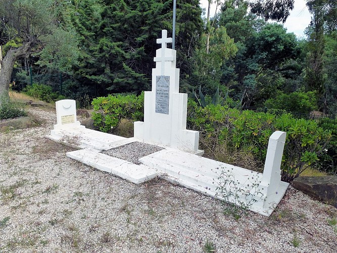
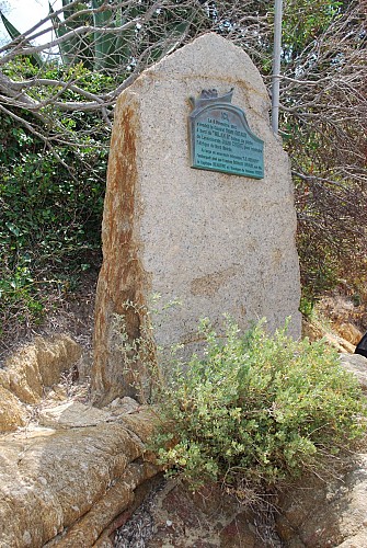
The Landing of Provence


Description
After the Armistice of June 1940, defeated, France collaborates with the Third Reich. Following the Allied landing in North Africa and the scuttling of the French fleet in the port of Toulon, in November 1942, General de GAULLE in 1943 tasked General GIRAUD, to reorganize in North Africa, a French army with American material support. The Allies imagine to fight the occupation troops by the North (Operation OVERLORD in Normandy) and the South (Operation DRAGOON in Provence). The coast of the Moors (la côte des Maures) appears then as the only place likely to escape the coastal batteries of the Toulon area.
Two months after the landing of Normandy on the 6th of June of 1944, the Allies get the green light.
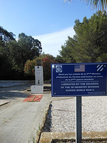
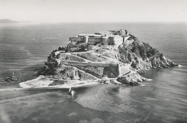
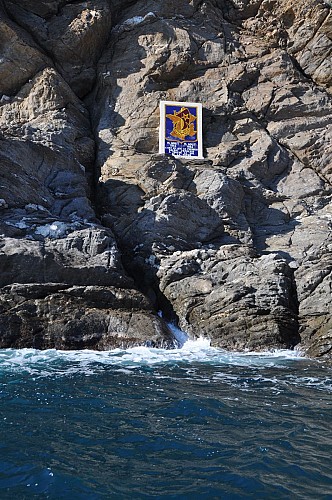
On the night of August 14 to 15 in 1944, the African commandos, the first French soldiers on the soil of Provence, stormed Cape Negro, the naval assault group, the Esquirol point, the Canadians and American rangers the Golden Islands. American parachutists are dropped in the plain of Muy.
On the morning of August 15th, American divisions land at Cavalaire; for eight days, those of the Army of Africa land in a continuous flow on the beaches of Cavalaire, Dramont, Nartelle to liberate the occupied towns and villages in Var.
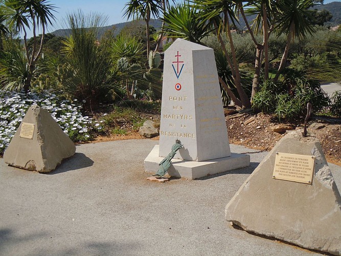
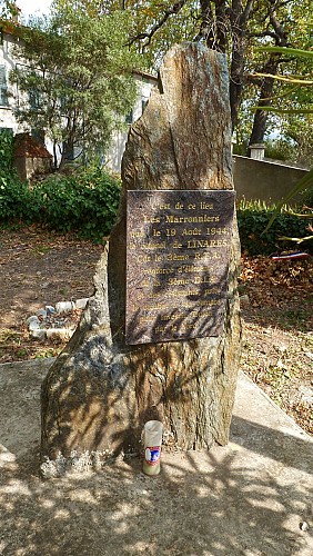
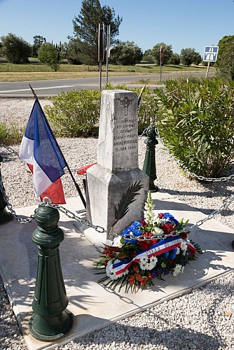
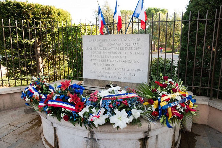
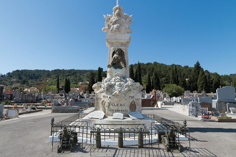
Go back in time and discover the town’s liberation’s highlights of Le Lavandou and Collobrières on August 15, 1944, Pierrefeu du Var and Bormes les Mimosas on the 16th, La Londe les Maures and Cuers on the 17th.
Technical Information
Altimetric profile
Starting point
Points of interest

Data author
