Tours
Activities
Places of interest
Where to eat
Where to sleep
Experience Aubagne from IBIS BUDGET AUBAGNE LES PALUDS
Are you the owner?Welcome to Aubagne, a charming town nestled in the Provence-Alpes-Côte d'Azur region. From IBIS BUDGET AUBAGNE LES PALUDS, embark on a journey to discover the local treasures. Start with a stroll through the historic center of Aubagne, famous for being the birthplace of Marcel Pagnol. Wander through its picturesque streets, visit the museum dedicated to the writer, and explore the vibrant Provença...See more
Walking around IBIS BUDGET AUBAGNE LES PALUDS
See more suggestionsExplore the walking circuits of IBIS BUDGET AUBAGNE LES PALUDS.
See more suggestions


What to do in IBIS BUDGET AUBAGNE LES PALUDS
See more suggestionsExciting adventures await you in IBIS BUDGET AUBAGNE LES PALUDS, book now.
See more suggestions


IGN cards
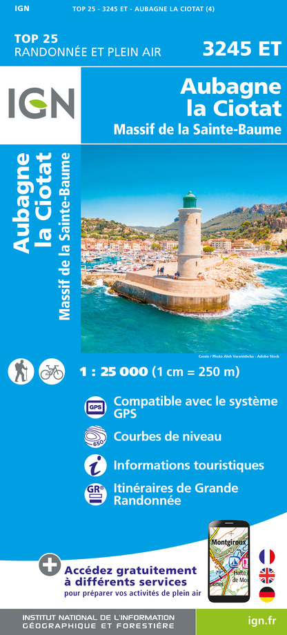
3245ET - AUBAGNE LA CIOTAT MASSIF DE LA SAINTE-BAUME
Editor : IGN
Collection : TOP 25 ET SÉRIE BLEUE
Scale : 1:25 000
13.90€

TOP75035 - PROVENCE SAINTE VICTOIRE ST BAUME CALANQUES
Editor : IGN
Collection : TOP 75
Scale : 1:75 000
9.80€

VEL06 - LE VAR A VELO
Editor : IGN
Collection : DECOUVERTE A VELO
Scale : 1:110 000
9.10€

TOP100D83 - VAR TOULON FRÉJUS MASSIFS DES MAURES ET DE L'ESTEREL PARC NATUREL RÉGIONAL DU VERDON
Editor : IGN
Collection : TOP 100
Scale : 1:100 000
8.40€

TOP100D13 - BOUCHES-DU-RHÔNE MARSEILLE AIX-EN-PROVENCE PARC NATIONAL DES CALANQUES PNR DES ALPILLES ET DE CAMARGUE
Editor : IGN
Collection : TOP 100
Scale : 1:100 000
8.40€

D83 VAR
Editor : IGN
Collection : CARTES DÉPARTEMENTALES IGN
Scale : 1:150 000
5.90€

D13-84 BOUCHES-DU-RHÔNE VAUCLUSE
Editor : IGN
Collection : CARTES DÉPARTEMENTALES IGN
Scale : 1:150 000
5.90€

NR16 PROVENCE-ALPES-CÔTE D'AZUR
Editor : IGN
Collection : CARTES RÉGIONALES IGN
Scale : 1:250 000
6.80€

EUROPE
Editor : IGN
Collection : DÉCOUVERTE DES PAYS DU MONDE IGN
Scale : 1:2 500 000
7.00€
What to visit in IBIS BUDGET AUBAGNE LES PALUDS
See more suggestionsDiscover the nightlife of IBIS BUDGET AUBAGNE LES PALUDS.
See more suggestions


Where to eat in IBIS BUDGET AUBAGNE LES PALUDS
See more suggestionsDiscover the local flavors of IBIS BUDGET AUBAGNE LES PALUDS.
See more suggestions


")
Where to sleep in IBIS BUDGET AUBAGNE LES PALUDS
See more suggestionsStay at one of the many hotels in IBIS BUDGET AUBAGNE LES PALUDS.
See more suggestions


