Tours
Activities
Places of interest
Where to eat
Where to sleep
Discover Aubagne with Le Mas de l'Etoile
Are you the owner?Welcome to Aubagne, at the heart of Provence-Alpes-Côte d'Azur, where natural beauty and Provençal culture await you. Just steps away from Le Mas de l'Etoile, uncover the hidden treasures of this enchanting region.
Start with a visit to the Maison Natale de Marcel Pagnol, a must-see for lovers of French literature. This museum immerses you in the world of the writer and filmmaker, with captivati...See more
Start with a visit to the Maison Natale de Marcel Pagnol, a must-see for lovers of French literature. This museum immerses you in the world of the writer and filmmaker, with captivati...See more
Walking around LE MAS DE L'ETOILE
See more suggestionsEmbark on a hike in LE MAS DE L'ETOILE.
See more suggestions


What to do in LE MAS DE L'ETOILE
See more suggestionsFind bookable activities in LE MAS DE L'ETOILE for an unforgettable experience.
See more suggestions


IGN cards
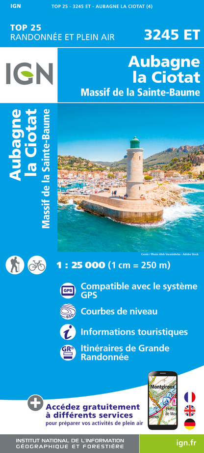
3245ET - AUBAGNE LA CIOTAT MASSIF DE LA SAINTE-BAUME
Editor : IGN
Collection : TOP 25 ET SÉRIE BLEUE
Scale : 1:25 000
13.90€

TOP75035 - PROVENCE SAINTE VICTOIRE ST BAUME CALANQUES
Editor : IGN
Collection : TOP 75
Scale : 1:75 000
9.80€

VEL06 - LE VAR A VELO
Editor : IGN
Collection : DECOUVERTE A VELO
Scale : 1:110 000
9.10€

TOP100D83 - VAR TOULON FRÉJUS MASSIFS DES MAURES ET DE L'ESTEREL PARC NATUREL RÉGIONAL DU VERDON
Editor : IGN
Collection : TOP 100
Scale : 1:100 000
8.40€

TOP100D13 - BOUCHES-DU-RHÔNE MARSEILLE AIX-EN-PROVENCE PARC NATIONAL DES CALANQUES PNR DES ALPILLES ET DE CAMARGUE
Editor : IGN
Collection : TOP 100
Scale : 1:100 000
8.40€

D83 VAR
Editor : IGN
Collection : CARTES DÉPARTEMENTALES IGN
Scale : 1:150 000
5.90€

D13-84 BOUCHES-DU-RHÔNE VAUCLUSE
Editor : IGN
Collection : CARTES DÉPARTEMENTALES IGN
Scale : 1:150 000
5.90€

NR16 PROVENCE-ALPES-CÔTE D'AZUR
Editor : IGN
Collection : CARTES RÉGIONALES IGN
Scale : 1:250 000
6.80€

EUROPE
Editor : IGN
Collection : DÉCOUVERTE DES PAYS DU MONDE IGN
Scale : 1:2 500 000
7.00€
What to visit in LE MAS DE L'ETOILE
See more suggestionsVisit the historical sites of LE MAS DE L'ETOILE.
See more suggestions


Where to eat in LE MAS DE L'ETOILE
See more suggestionsThe dining spots in LE MAS DE L'ETOILE have surprises in store.
See more suggestions


")

Where to sleep in LE MAS DE L'ETOILE
See more suggestionsDiscover popular accommodations in LE MAS DE L'ETOILE.
See more suggestions


