Tours
Activities
Places of interest
Where to eat
Where to sleep
Explore Lorgues at Château les Crostes
Are you the owner?Just a short distance from Château les Crostes, Lorgues and its surroundings are brimming with treasures waiting to be discovered. Wine enthusiasts will find local vineyard tours indispensable, offering tastings of regional wines amidst breathtaking landscapes. History buffs will delight in visiting Saint-Martin's Church, known for its impressive architecture, and the medieval Clock Tower.
The p...See more
The p...See more
Walking around CHATEAU LES CROSTES
See more suggestionsDiscover the nature of CHATEAU LES CROSTES on foot.
See more suggestions


What to do in CHATEAU LES CROSTES
See more suggestionsPlan your leisure time in CHATEAU LES CROSTES by booking activities that suit your preferences.
See more suggestions


IGN cards
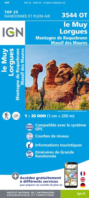
3544OT - LE MUY LORGUES MONTAGNE DE ROQUEBRUNE MASSIF DES MAURES
Editor : IGN
Collection : TOP 25 ET SÉRIE BLEUE
Scale : 1:25 000
13.90€

VEL06 - LE VAR A VELO
Editor : IGN
Collection : DECOUVERTE A VELO
Scale : 1:110 000
9.10€

TOP100D83 - VAR TOULON FRÉJUS MASSIFS DES MAURES ET DE L'ESTEREL PARC NATUREL RÉGIONAL DU VERDON
Editor : IGN
Collection : TOP 100
Scale : 1:100 000
8.40€

D83 VAR
Editor : IGN
Collection : CARTES DÉPARTEMENTALES IGN
Scale : 1:150 000
5.90€

D06 ALPES-MARITIMES
Editor : IGN
Collection : CARTES DÉPARTEMENTALES IGN
Scale : 1:150 000
5.90€

NR16 PROVENCE-ALPES-CÔTE D'AZUR
Editor : IGN
Collection : CARTES RÉGIONALES IGN
Scale : 1:250 000
6.80€

EUROPE
Editor : IGN
Collection : DÉCOUVERTE DES PAYS DU MONDE IGN
Scale : 1:2 500 000
7.00€
What to visit in CHATEAU LES CROSTES
See more suggestionsExplore the cultural heritage of CHATEAU LES CROSTES.
See more suggestions


Where to eat in CHATEAU LES CROSTES
See more suggestionsChefs in CHATEAU LES CROSTES will delight you.
See more suggestions


")


Where to sleep in CHATEAU LES CROSTES
See more suggestionsExplore hostels and hotels in CHATEAU LES CROSTES.
See more suggestions


")
")
