Tours
Activities
Places of interest
Where to eat
Where to sleep
Discover Lauris from HOTEL DE FONTENILLE
Are you the owner?Nestled in the heart of Vaucluse, Lauris is a charming Provençal village where HOTEL DE FONTENILLE is located. Visitors can explore the surrounding lush landscapes, rich with vineyards and olive groves. An unmissable stop is the remarkable gardens of Château de Lauris, offering a panoramic view over the Durance Valley. Take the hiking trails leading to perched villages like Lourmarin and Gordes. W...See more
Walking around HOTEL DE FONTENILLE
See more suggestionsExplore the natural surroundings of HOTEL DE FONTENILLE.
See more suggestions


What to do in HOTEL DE FONTENILLE
See more suggestionsBook your activities in HOTEL DE FONTENILLE and experience memorable moments.
See more suggestions


IGN cards

3142OT - CAVAILLON FONTAINE-DE-VAUCLUSE
Editor : IGN
Collection : TOP 25 ET SÉRIE BLEUE
Scale : 1:25 000
13.90€
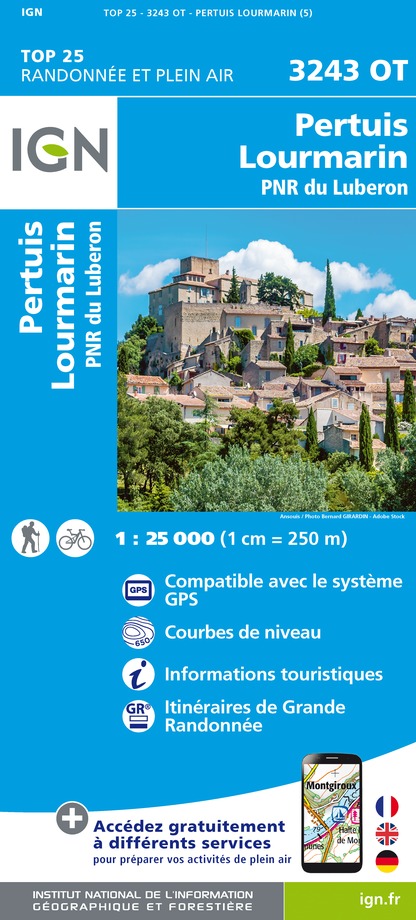
3243OT - PERTUIS LOURMARIN PNR DU LUBERON
Editor : IGN
Collection : TOP 25 ET SÉRIE BLEUE
Scale : 1:25 000
13.90€

TOP75034 - LUBERON MONT VENTOUX
Editor : IGN
Collection : TOP 75
Scale : 1:75 000
9.80€

VEL03 - LE VAUCLUSE A VÉLO
Editor : IGN
Collection : DECOUVERTE A VELO
Scale : 1:100 000
9.10€

TOP100D13 - BOUCHES-DU-RHÔNE MARSEILLE AIX-EN-PROVENCE PARC NATIONAL DES CALANQUES PNR DES ALPILLES ET DE CAMARGUE
Editor : IGN
Collection : TOP 100
Scale : 1:100 000
8.40€

TOP100D84 - VAUCLUSE AVIGNON CARPENTRAS PARCS NATURELS RÉGIONAUX DU LUBERON ET DU MONT-VENTOUX
Editor : IGN
Collection : TOP 100
Scale : 1:100 000
8.40€

D04-05 ALPES-DE-HAUTE-PROVENCE HAUTES-ALPES
Editor : IGN
Collection : CARTES DÉPARTEMENTALES IGN
Scale : 1:150 000
5.90€

D13-84 BOUCHES-DU-RHÔNE VAUCLUSE
Editor : IGN
Collection : CARTES DÉPARTEMENTALES IGN
Scale : 1:150 000
5.90€

NR16 PROVENCE-ALPES-CÔTE D'AZUR
Editor : IGN
Collection : CARTES RÉGIONALES IGN
Scale : 1:250 000
6.80€

EUROPE
Editor : IGN
Collection : DÉCOUVERTE DES PAYS DU MONDE IGN
Scale : 1:2 500 000
7.00€
What to visit in HOTEL DE FONTENILLE
See more suggestionsAttend shows and concerts in HOTEL DE FONTENILLE.
See more suggestions


 to Phoenician juniper")


Where to eat in HOTEL DE FONTENILLE
See more suggestionsChefs in HOTEL DE FONTENILLE will delight you.
See more suggestions


Where to sleep in HOTEL DE FONTENILLE
See more suggestionsBook your stay at one of HOTEL DE FONTENILLE's accommodations.
See more suggestions


