Tours
Activities
Places of interest
Where to eat
Where to sleep
Nasbinals, Lozère, Languedoc-Roussillon
Are you in charge of the destination?Nestled in the incredible Aubrac Regional Natural Park, Nasbinals is a small gem located in the Lozère department, in the Languedoc-Roussillon region. This idyllic village is renowned for its spectacular landscapes, vast plateaus, and lands dotted with lakes and rivers. Here, rustic traditions and rural charm blend harmoniously. Stroll along its cobbled streets, admire the old stone houses, and le...See more


What to do in Nasbinals
See more suggestionsFind the best activities in Nasbinals and book easily online.
See more suggestions


IGN cards
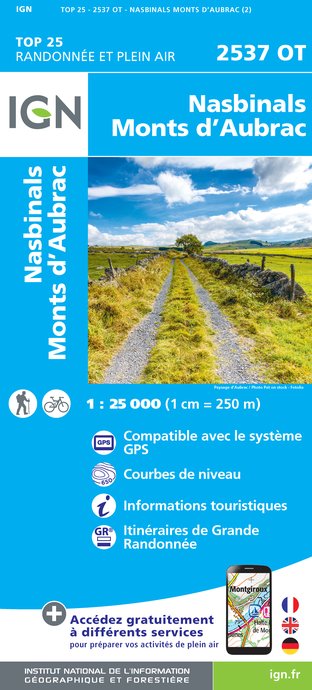
2537OT - NASBINALS MONTS D'AUBRAC
Editor : IGN
Collection : TOP 25 ET SÉRIE BLEUE
Scale : 1:25 000
13.90€

155 AURILLAC SAINT-FLOUR PNR DES VOLCANS D'AUVERGNE
Editor : IGN
Collection : TOP 100
Scale : 1:100 000
8.40€

TOP100D48 - LOZÈRE MENDE FLORAC-TROIS-RIVIÈRES PARC NATIONAL DES CÉVENNES GORGES DU TARN ET DE LA JONTE
Editor : IGN
Collection : TOP 100
Scale : 1:100 000
8.40€

D15-19 CANTAL CORREZE
Editor : IGN
Collection : CARTES DÉPARTEMENTALES IGN
Scale : 1:150 000
5.90€

D12-48 AVEYRON LOZÈRE
Editor : IGN
Collection : CARTES DÉPARTEMENTALES IGN
Scale : 1:150 000
5.90€

EUROPE
Editor : IGN
Collection : DÉCOUVERTE DES PAYS DU MONDE IGN
Scale : 1:2 500 000
7.00€
What to visit in Nasbinals
See more suggestionsDiscover the local markets of Nasbinals.
See more suggestions


Where to eat in Nasbinals
See more suggestionsExplore the culinary traditions of Nasbinals.
See more suggestions


Where to sleep in Nasbinals
See more suggestionsChoose a comfortable accommodation in Nasbinals.
See more suggestions

