Tours
Activities
Places of interest
Where to eat
Where to sleep
Discover the charm of Besse-sur-issole from LE CAMPING DU LAC
Are you the owner?Nestled in the heart of Provence-Alpes-Côte d'Azur, Besse-sur-issole in the Var is a destination full of charm and authenticity. Staying at LE CAMPING DU LAC allows you to explore this region rich in history and nature. Start with a stroll around Issole Lake, a peaceful spot perfect for fishing, swimming, or a family picnic. Hiking enthusiasts can venture onto the numerous marked trails around the...See more
Walking around LE CAMPING DU LAC
See more suggestionsWalk through the natural landscapes of LE CAMPING DU LAC.
See more suggestions


What to do in LE CAMPING DU LAC
See more suggestionsPlan a perfect day in LE CAMPING DU LAC with our bookable activities.
See more suggestions


IGN cards

3445OT - CUERS
Editor : IGN
Collection : TOP 25 ET SÉRIE BLEUE
Scale : 1:25 000
13.90€
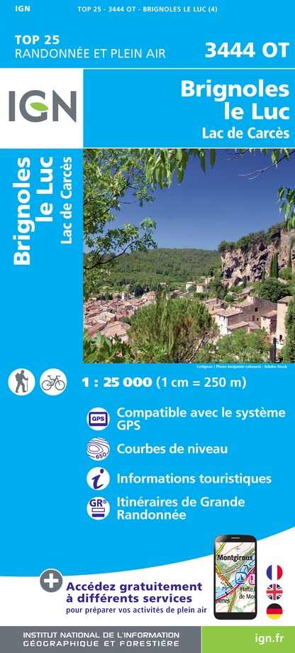
3444OT - BRIGNOLES LE LUC
Editor : IGN
Collection : TOP 25 ET SÉRIE BLEUE
Scale : 1:25 000
13.90€

TOP75035 - PROVENCE SAINTE VICTOIRE ST BAUME CALANQUES
Editor : IGN
Collection : TOP 75
Scale : 1:75 000
9.80€

VEL06 - LE VAR A VELO
Editor : IGN
Collection : DECOUVERTE A VELO
Scale : 1:110 000
9.10€

TOP100D83 - VAR TOULON FRÉJUS MASSIFS DES MAURES ET DE L'ESTEREL PARC NATUREL RÉGIONAL DU VERDON
Editor : IGN
Collection : TOP 100
Scale : 1:100 000
8.40€

D83 VAR
Editor : IGN
Collection : CARTES DÉPARTEMENTALES IGN
Scale : 1:150 000
5.90€

D06 ALPES-MARITIMES
Editor : IGN
Collection : CARTES DÉPARTEMENTALES IGN
Scale : 1:150 000
5.90€

NR16 PROVENCE-ALPES-CÔTE D'AZUR
Editor : IGN
Collection : CARTES RÉGIONALES IGN
Scale : 1:250 000
6.80€

EUROPE
Editor : IGN
Collection : DÉCOUVERTE DES PAYS DU MONDE IGN
Scale : 1:2 500 000
7.00€
What to visit in LE CAMPING DU LAC
See more suggestionsExplore the cultural heritage of LE CAMPING DU LAC.
See more suggestions


Where to eat in LE CAMPING DU LAC
See more suggestionsExperience LE CAMPING DU LAC's gastronomy.
See more suggestions


")


Where to sleep in LE CAMPING DU LAC
See more suggestionsDiscover available accommodations around LE CAMPING DU LAC.
See more suggestions


