Tours
Activities
Places of interest
Where to eat
Where to sleep
Explore the Delights of Notre-dame-du-pre at Camping du Rocher du Glaisy
Are you the owner?Welcome to Camping du Rocher du Glaisy, situated in the heart of Notre-dame-du-pre in Savoie, Rhône-Alpes. Immerse yourself in a serene retreat nestled between mountains and forests, offering a plethora of activities for the whole family. Traverse the hiking trails that wind through stunning alpine landscapes and discover breathtaking panoramic views. Mountain biking enthusiasts will find thrillin...See more
Walking around CAMPING DU ROCHER DU GLAISY
See more suggestionsDiscover the trails of CAMPING DU ROCHER DU GLAISY.
See more suggestions
")
")


")
")
 from Notre Dame du Pré - 1 or 2 days")


What to do in CAMPING DU ROCHER DU GLAISY
See more suggestionsExplore CAMPING DU ROCHER DU GLAISY through its many bookable activities.
See more suggestions


IGN cards
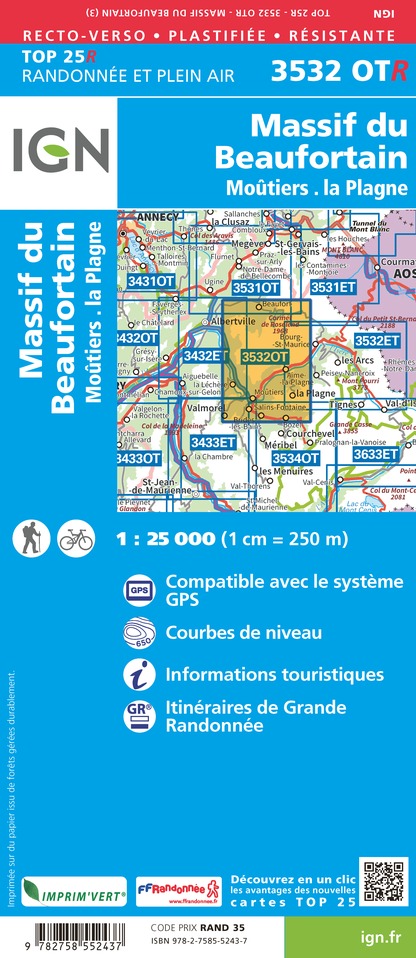
3532OTR - MASSIF DU BEAUFORTIN RESISTANTE MOUTIERS LA PLAGNE
Editor : IGN
Collection : TOP 25 RÉSISTANTE
Scale : 1:25 000
17.20€
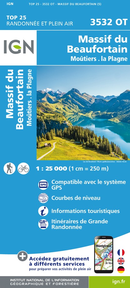
3532OT - MASSIF DU BEAUFORTIN MOUTIERS LA PLAGNE
Editor : IGN
Collection : TOP 25 ET SÉRIE BLEUE
Scale : 1:25 000
13.90€

TOP75003 - MASSIF DE LA VANOISE
Editor : IGN
Collection : TOP 75
Scale : 1:75 000
9.80€

TOP75004 - BEAUFORTAIN MASSIF DU MONT BLANC
Editor : IGN
Collection : TOP 75
Scale : 1:75 000
9.80€

TOP75032 - CHAINE DES ARAVIS - MASSIF DES BAUGES
Editor : IGN
Collection : TOP 75
Scale : 1:75 000
9.80€

TOP100D73 - SAVOIE CHAMBÉRY ALBERTVILLE PARC NATIONAL DE LA VANOISE PNR DU MASSIF DES BAUGES
Editor : IGN
Collection : TOP 100
Scale : 1:100 000
8.40€

202 JURA ALPES DU NORD
Editor : IGN
Collection : TOP 200
Scale : 1:200 000
6.80€

D38 ISÈRE
Editor : IGN
Collection : CARTES DÉPARTEMENTALES IGN
Scale : 1:150 000
5.90€

NR15 AUVERGNE-RHÔNE-ALPES RECTO/VERSO MASSIF ALPIN
Editor : IGN
Collection : CARTES RÉGIONALES IGN
Scale : 1:250 000
6.80€

NR14 AUVERGNE-RHÔNE-ALPES RECTO/VERSO MASSIF CENTRAL
Editor : IGN
Collection : CARTES RÉGIONALES IGN
Scale : 1:250 000
6.80€

EUROPE
Editor : IGN
Collection : DÉCOUVERTE DES PAYS DU MONDE IGN
Scale : 1:2 500 000
7.00€
What to visit in CAMPING DU ROCHER DU GLAISY
See more suggestionsAttend shows and concerts in CAMPING DU ROCHER DU GLAISY.
See more suggestions


Where to eat in CAMPING DU ROCHER DU GLAISY
See more suggestionsA wide selection of restaurants awaits you in CAMPING DU ROCHER DU GLAISY.
See more suggestions


Where to sleep in CAMPING DU ROCHER DU GLAISY
See more suggestionsExplore hostels and hotels in CAMPING DU ROCHER DU GLAISY.
See more suggestions


