Alert
Alerts
Tour du Glaisy (large loop)
Description
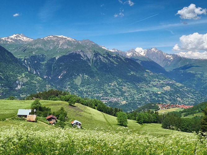
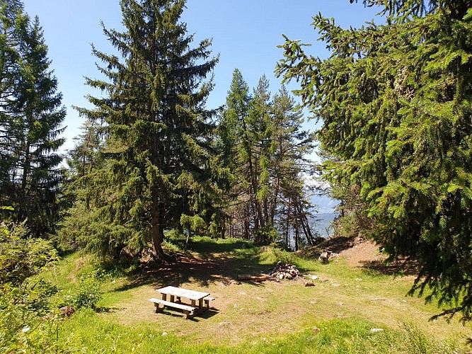
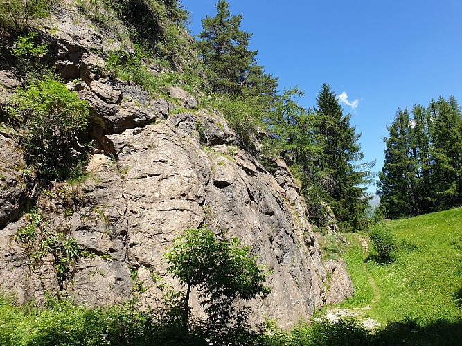
This hiking itinerary in the forest has some great surprises for you: a spot with an incredible view of the valley and the Col de la Madeleine, the climbing rock of the Glaisy, the former hamlet of Pravin and the Mt-Blanc in the line of sight!
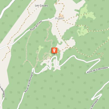
Departure : Glaisy Campsite (D1)
Min altitude: 1410 m
Max altitude: 1573 m
To reach the Montagnette de Pravin, turn right once you arrive on the forest track and make a short round trip before returning to the Tour du Glaisy trail.
Technical Information
Altimetric profile
Starting point
Additional information
Updated by
Coeur de Tarentaise Tourisme - 11/06/2025
www.coeurdetarentaise-tourisme.com/
Report a problem
Open period
All year round.
Subject to favorable snow and weather conditions.
Contact
Phone :
0479042905
04 79 24 01 74
Email : tourisme@coeurdetarentaise.fr
Website : https://www.coeurdetarentaise-tourisme.com/
Facebook : https://www.facebook.com/CoeurdeTarentaisetourisme
Animals
Yes
Data author
