Alert
Alerts
Type of practice
Walking
Cycling
Presentation
Description
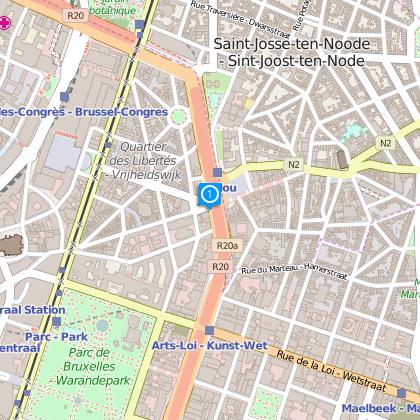
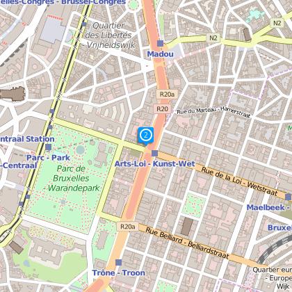
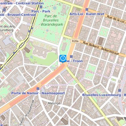
Map
Steps
Ratings and reviews
See around
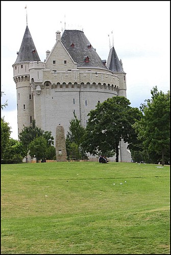
Walk along the second wall

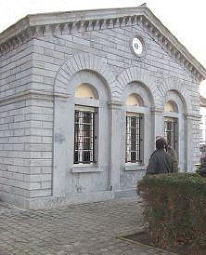
Credit : Porte de Hal © Eric Danhier
Description
Walk along the second wall of Brussels. From the 'Bruxelles, les chemins de ronde - Circuit de la deuxième enceinte' folder from the Monuments and Sites service of the Brussels Capital Region.
Technical Information
Walking
Difficulty
Not specified
Dist.
8.5 km
Type of practice
Walking
Cycling
Show more
Altimetric profile
Starting point
1000
Brussels
Lat : 50.8487719421Lng : 4.3688356876373
Steps
Data author

Ratings and reviews
To see around