Alert

Alerts

To see around
See more
Open
Close
Show
Show
Show
Show
Show
Show
Show
Show
Show
Show
Show

Oups... It would appear that Cirkwi does not have permission to use your location.

Presentation
Description
Map
Points of interest
Ratings and reviews
See around

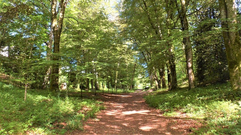
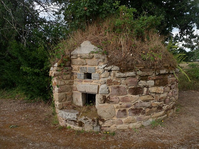
Caudan's green belt by Kergoff

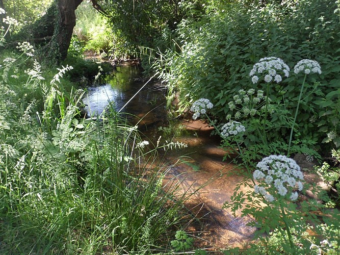
Alley at Pont Youan
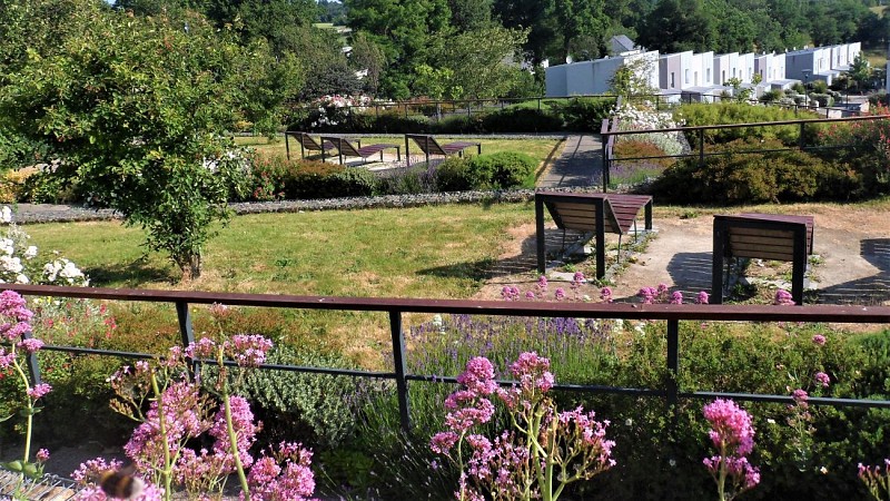
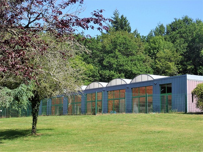
Hanging gardens near the town hall
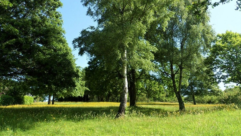
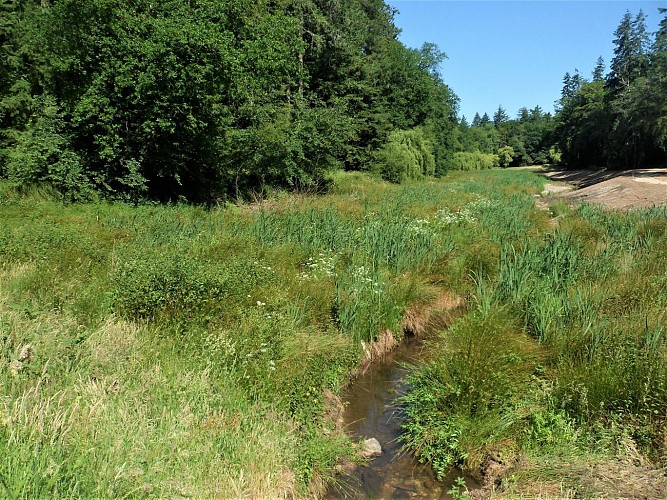
Meadows towards Restenderezen
Credit : Lorient Agglomération

Description

Departure: Jean Le Goulias carpark behind the church

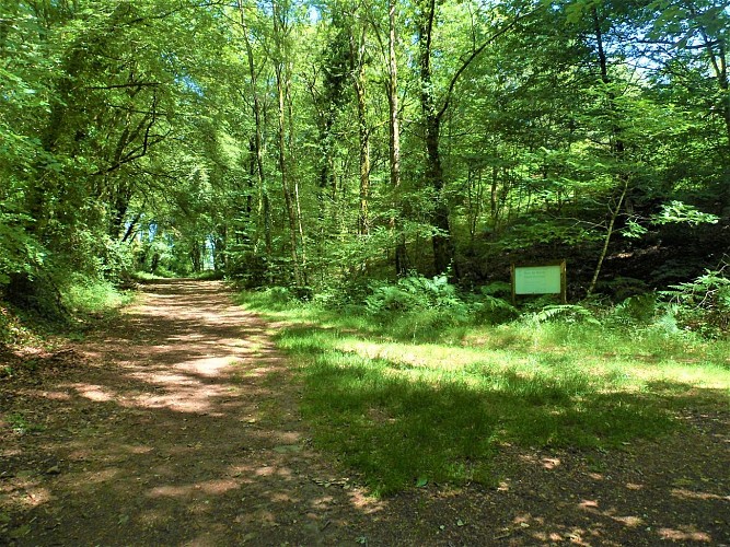
Tro glas Kaodan by Kergoff, “Caudan’s green belt” in Breton, is a variant of the circuit that does not go through Kerbéban.It will take you along hidden paths between towns and villages, along the Plessis stream and through the woods. An unexpected nature walk, revealing the ancient history and transformation of Caudan since the 1939-1945 war.


You are walking in natural, private sites. Remain on the marked paths, respect nature, infrastructures and cultivated areas. For your comfort and safety, wear suitable hiking clothing.

"Certain allergenic species may be present along hiking trails, such as grasses, birch, alder, mugwort, ragweed, and olive trees. To plan your outings, you can consult the pollen monitoring data for the Lorient Agglomeration area and the recommended precautions to take via this link: https://www.lorient-agglo.bzh/actus/suivi-des-pollens/ "
Technical Information

Walking
Difficulty
Medium
Duration
2h15mn (1d)
Dist.
8.9 km
Show more

Altimetric profile

Starting point

6 Bis Rue de la Libération , 56850   Caudan
Lat : 47.81129Lng : -3.34089

Points of interest

image du object

The town of Caudan

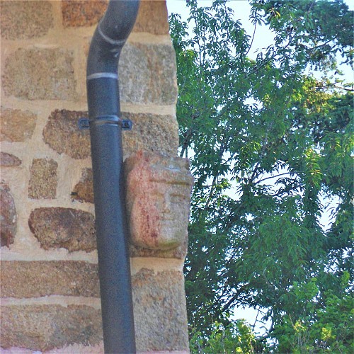
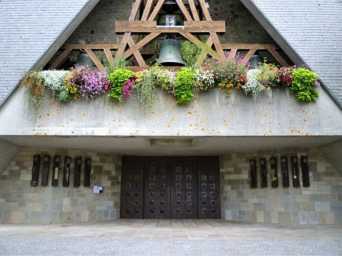
Largely destroyed during the 1939-1945 war, the town of Caudan has retained only a few pre-war buildings. Its religious architecture suffered greatly. Erected in 1708 and rebuilt in 1768, the chapel of la Vrai Croix (True Cross), at the southern edge of the village, was sold to a private individual and demolished in February 1912.  For revenge, the Germans blew up the church Saint-Pierre Saint-Paul on 11th August 1944. It was rebuilt after the construction of the town hall in 1962 by the architects Yves Guillou and Paul Lindu from Vannes. The old place of worship had been rebuilt in 1722 on a church that was already in ruins in 1710, then after the Revolution around 1805. Built by the inhabitants of Caudan, without an architect using the remains of the chapels of Pendreff and Saint-Séverin, it needed major repair work around 1898. Once located to the north of the church, the presbytery was enlarged and rebuilt in 1866 in the neo-classical style. It was razed to the ground in 1975 and replaced by the current one. The perimeter of the church is protected as a Historical Monument in connection with the cross of the village of Scouhel, erected in 1504 to mark the end of an epidemic of the plague. Already moved to the west of the church before the war, the cross was damaged in 1944. It was restored and relocated here in November 1965. On it can be seen a Virgin and Child, the coat of arms of the de Chefdubois family and, on the west side of the base, Christ of the Resurrection next to its donor.

3 Place Louis le Laennec 56850 Caudan
- Lorient Agglomération -
Consulter
image du object

The development of Caudan

Caudan is rural and one of the oldest parishes in the Dioceses of Vannes. Before some of its territory was handed over to Saint-Caradec Hennebont, it was also one of the largest. In 1909, it also lost its southern part when the municipality of Lanester was created. Bordered by the Blavet and Scorff estuaries, this area close to Lorient, was urbanized after the shipyards of the Compagnie des Indes de Lorient were set up around 1703 on the right bank of the Scorff. Its many workers increased the population of Caudan from 3,242 in 1793 to 9,646 in 1906, falling back to 2,487 in 1911 after the separation of the town of Lanester from that of Caudan. In 1818, the village of Caudan comprised about forty buildings built along the roads leading in a star shape to the vast church square. It did not change much until after the war. The National road RN165 passes through the south of the town, where an industrial and commercial zone grew up, close to the urban centre of Lorient Lanester. Caudan experienced strong demographic growth, especially between 1968 and 1990, multiplying its population by 2.5 in the space of forty years, approaching 7,000 inhabitants today. New populations come with the construction of areas that extended first to the south and then to the west along the traffic routes. The total housing stock has quadrupled since 1970. Residential districts, consisting of detached houses with gardens emerged, surrounding the villages closest to the town. Here, Restendrezen preserves an old sunken path and stone buildings, the remains of an old farmhouse.

37 Rue Jacques Brel 56850 Caudan
- Lorient Agglomération -
Consulter
image du object

Lenn Sec'h

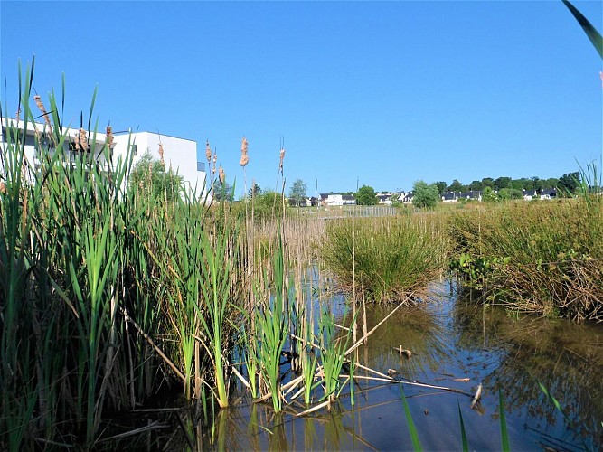
Completing the urbanization of of Caudan in its north-eastern part, the district of Lenn Sec'h, is being built close to the main roads, a stone's throw from the Kerio commercial centre and the town. Combining individual and collective housing, it includes quality projects such as the biodiversity pond created on the wetland below the buildings. This belies the name of the place, Lenn Sec'h, “dry pond” in Breton. Eventually, half of the area of this district will be made up of green spaces reserved for leisurely travel and relaxation. Prior to the development, some thirty hectares between Kerio and the town were subject to an archaeological diagnosis in 2012-2013: 365 trenches three metres wide, from 18 to 50 metres long and 40 to 60 cm deep were dug. This dig uncovered two pits for extracting building materials dating from the Neolithic period. Most importantly, it revealed a vast Bronze Age living site, located on the hillside protected from the prevailing winds, facing south and at the crossing of a network of streams. In 15 ha of enclosures marked by ditches and palisades, the diggers found several dwellings and silos in 1.5 ha, cattle pens and cultivated areas. This size of occupation, no doubt changing during this period between 2200 and 800 BCE, is almost unheard of in Brittany and the west of France, since it is not a farm, but a village. The site was still occupied during the Iron Age, as indicated by a quadrangular building on posts, and especially in the High Middle Ages. The excavation revealed two inhabited enclosures of 7,700 m² and 4,500 m² associated with the ceramic objects of the 8th century. Traces of recent occupation were also detected, confirming that this area, in the process of being redeveloped, attracted various civilizations because of its attractive location.

8 Kerio 56850 Caudan
- Lorient Agglomération -
Consulter
image du object

La Rue du 10 mai 1945

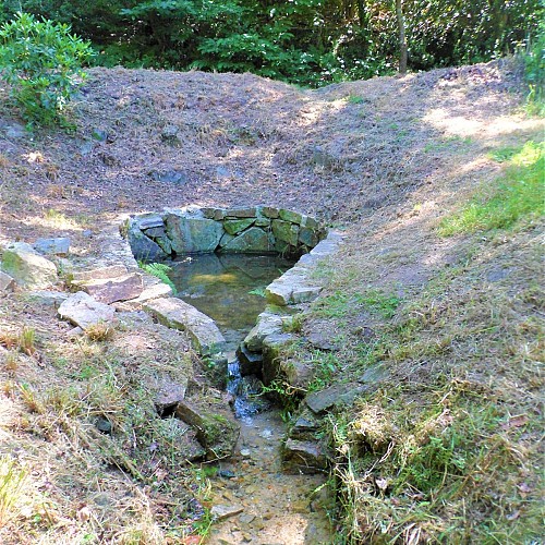
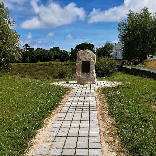
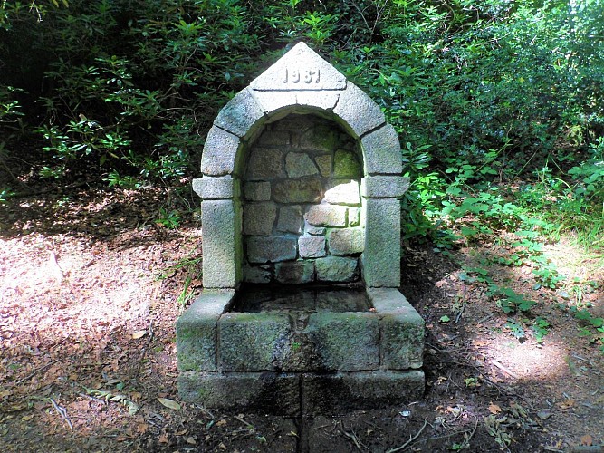
Caudan paid a heavy price in the 1939-1945 war during the German occupation: requisition of buildings, food and livestock, installation of naval artillery and searchlights in several villages, establishment of a German submarine camp in Kersalo, a hospital in Kério, reception of the national gendarmeries, firemen, 2,000 refugees, etc. From 1943 onwards, it also became a place of combat between the Germans and Resistance fighters, particularly the Caudan front, recruiting and training young people in hiding and supplied by farmers. Aerial bombardments set several hamlets on fire. Roundups, arrests and executions bear witness to the tensions and violence suffered by the population. The Germans destroyed many buildings before retreating to the Lorient pocket, from where they bombed the town on the night of 7 to 8 August 1944. They only surrendered on May 10, 1945. On your left, the Menhir of Surrender recalls that here, two days after the end of the Second World War, the commander of the German troops in Lorient surrendered his arms to the commanders of the American armies and the French Home Office. It is not obvious that the rue du 10 mai 1945 was once lined with embankments leading down to a fountain, now lost in the vegetation, and to a washhouse on the stream. The site is immortalized in a postcard, showing the washerwomen in the foreground around an irregular basin with a few inclined stones for washing, and in the background, country women leading their cows to the field and, in the far background, the bell tower of the old church.

10 Rue Park Feutan 56850 Caudan
- Lorient Agglomération -
Consulter

Ratings and reviews

To see around
See more
Open
Close
Show
Show
Show
Show
Show
Show
Show
Show
Show
Show
Show
Caution!
We have no information on the difficulty of this circuit. You may encounter some surprises along the way. Before you go, please feel free to inquire more and take all necessary precautions. Have a good trip! 🌳🥾