Alert
Alerts
Lenn Sec'h
Description
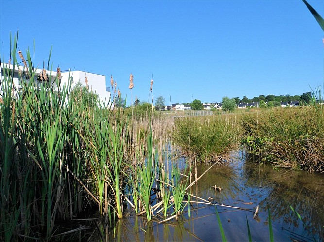
Completing the urbanization of of Caudan in its north-eastern part, the district of Lenn Sec'h, is being built close to the main roads, a stone's throw from the Kerio commercial centre and the town. Combining individual and collective housing, it includes quality projects such as the biodiversity pond created on the wetland below the buildings. This belies the name of the place, Lenn Sec'h, “dry pond” in Breton. Eventually, half of the area of this district will be made up of green spaces reserved for leisurely travel and relaxation.
Prior to the development, some thirty hectares between Kerio and the town were subject to an archaeological diagnosis in 2012-2013: 365 trenches three metres wide, from 18 to 50 metres long and 40 to 60 cm deep were dug. This dig uncovered two pits for extracting building materials dating from the Neolithic period.
Most importantly, it revealed a vast Bronze Age living site, located on the hillside protected from the prevailing winds, facing south and at the crossing of a network of streams. In 15 ha of enclosures marked by ditches and palisades, the diggers found several dwellings and silos in 1.5 ha, cattle pens and cultivated areas. This size of occupation, no doubt changing during this period between 2200 and 800 BCE, is almost unheard of in Brittany and the west of France, since it is not a farm, but a village.
The site was still occupied during the Iron Age, as indicated by a quadrangular building on posts, and especially in the High Middle Ages. The excavation revealed two inhabited enclosures of 7,700 m² and 4,500 m² associated with the ceramic objects of the 8th century. Traces of recent occupation were also detected, confirming that this area, in the process of being redeveloped, attracted various civilizations because of its attractive location.
