Alert
Alerts
Kergoff
Description
Climbing up the slope of the small valley of the Le Plessis stream, passing through Kergoff woods of douglas fir, oak and chestnut trees, one can see on the heights the buildings of the care home Ti Aïeul which sits on the site of the village of Kergoff. This place used to be one of the 24 seigneuries identified in Caudan under the Ancien Régime. Only two manor houses remain today in Keraud and Kerguen, to bear witness to these noble places, which fell under the major seigniory of Kemenet-Héboé during the Middle Ages and were attached to the justice of the Hennebont Seneschausée (court) under the Ancien Régime.
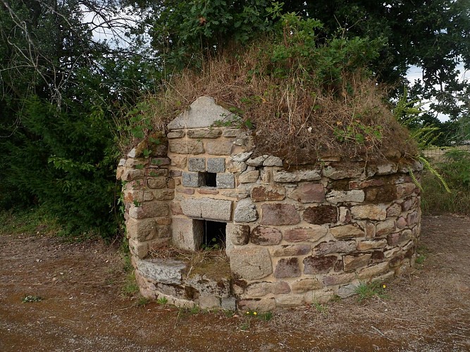
The Napoleonic land registry of 1818 shows the plans of the Château de Kergoff organised in a U-shape around a courtyard, with a central square building and outbuildings on either side. Access was to the south by a path coming from the village, offering a view of the castle's façade. A wall dividing the courtyard in two set the private quarters aprt from the agricultural part. Already a hospice prior to the war, it was burned down by the Germans in 1944. Nothing remains, except for the bread oven visible on maps of the time, and a lime tree more than a hundred years old.
